Saturday severe potential – 4:45pm Friday update
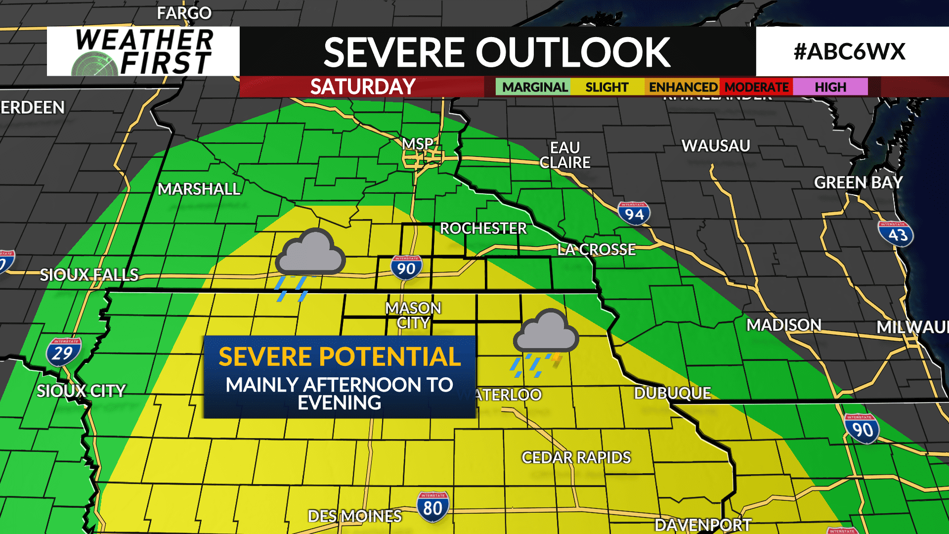
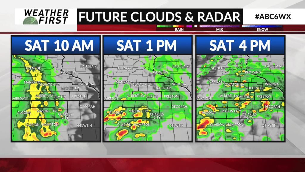
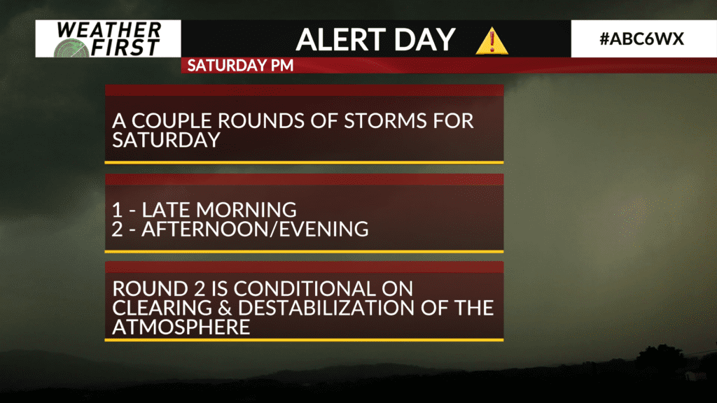
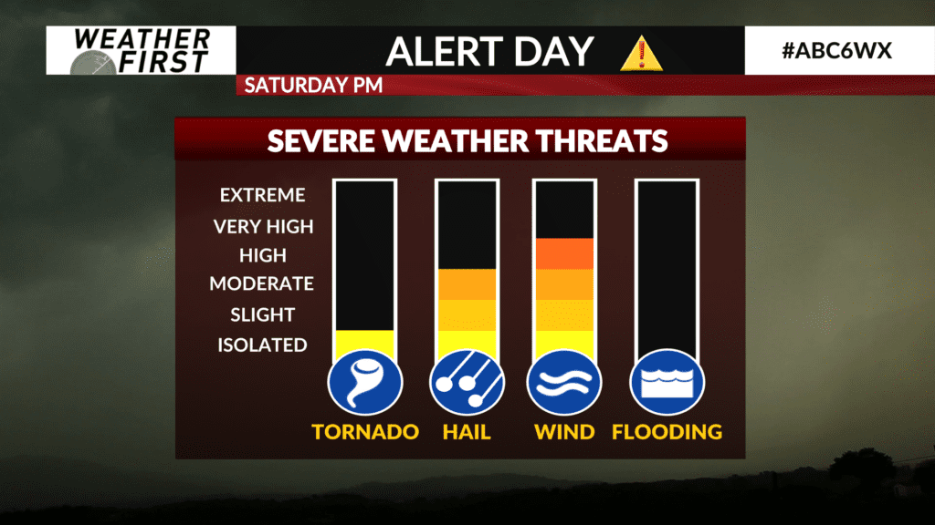
We’re looking at a few rounds of thunderstorms and showers this weekend, the first moving in Saturday morning and slowly weakening as it moves west to east. We don’t expect much, if any, severe potential out of this line as it moves into southeast MN and north-central and northeast IA, just some healthy rain and maybe gusty wind. The second, afternoon to early evening round of thunderstorms looks to pack more of a punch with severe potential. Damaging wind and hail up to 1″ being primary threats from any severe storms if they do hit that threshold.
Overall good news with much-needed rainfall and the side effect of severe weather. We’ll be watching the skies all day Saturday and Sunday.