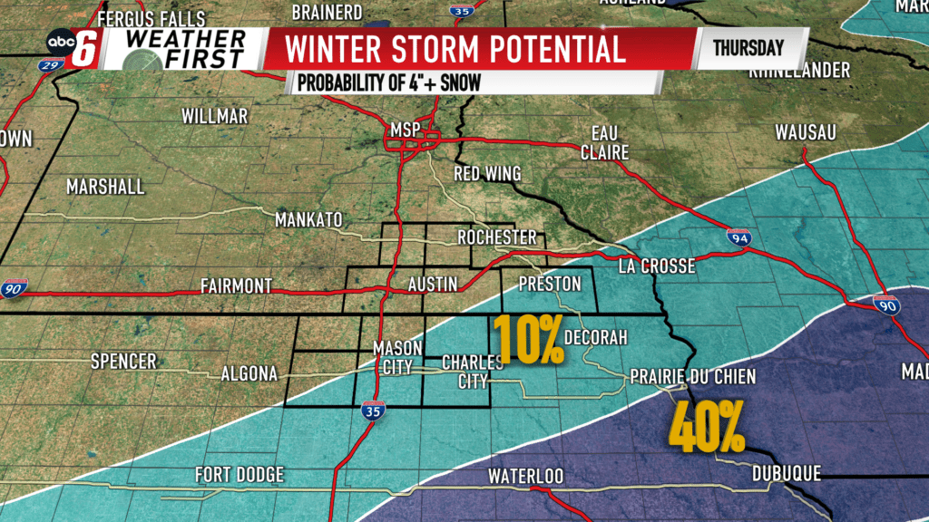
Riding the edge
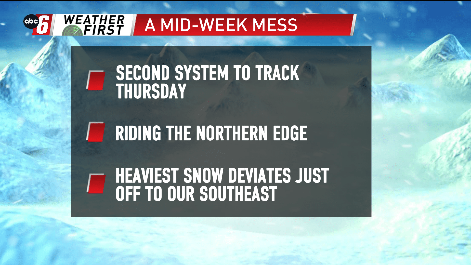
A second storm system targeting Thursday is taking more of a southeasterly jaunt. While snow is still in the forecast, at this stage, it’s not a direct hit from the heaviest. That falls for eastern Iowa into southern Wisconsin. The heaviest line running from Des Moines to Madison.
We’re right on that northern edge, putting our NE Iowa counties most likely to pick up snow accumulations. With the close proximity of the snow band, we’ll monitor the low placement as it moves into the nation’s midsection. The storm is still off shore for now, riding down the Pacific Coast. As it moves onshore, additional data will become more clear and reliable. We’ll be tracking this closely for possible disruption locally and travel issues somewhere in the tri-state area.