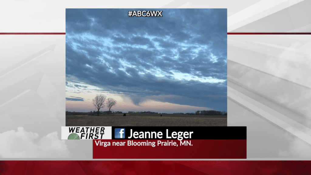
Rain in the skies, but not at the surface
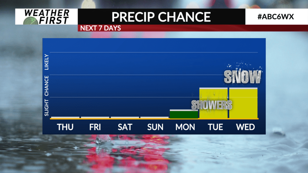
Virga has made a return. It’s where rain evaporates before it reaches the surface. This happens when we have moist air higher in the atmosphere and dry air closer to the surface. In order for us to still have rain, we would need a strong downdraft from a shower or thunderstorm to punch through the dry air. That will not be happening this evening. Our best chance for rain or snow will hold off until the middle of next week.
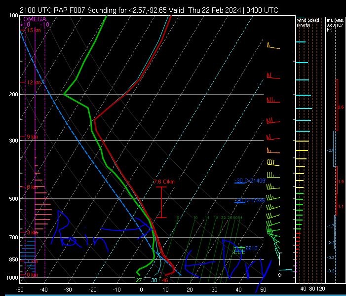
In the sounding below, the green line represents the dew point. The red line represents air temperature. As we go through the overnight, we continue to keep dry air near the surface (where the red and green lines are farthest apart from each other). Meanwhile, higher in the atmosphere, the red and green lines are closer together (where the showers are). Conditions will remain this way the rest of Wednesday night and into Thursday morning.