ALERT DAY: Snow may lead to some tricky travel through Thursday night
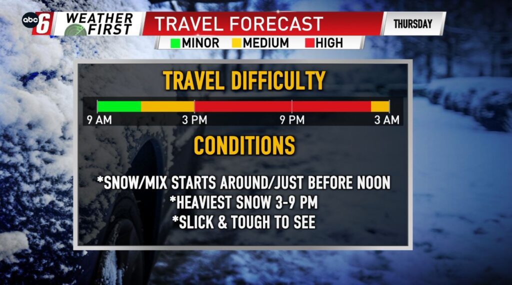
(ABC 6 News) – A winter storm will continue to track through the region Thursday lasting into overnight Friday leading to ALERT DAY Thursday with snow likely to cause some tricky travel conditions.
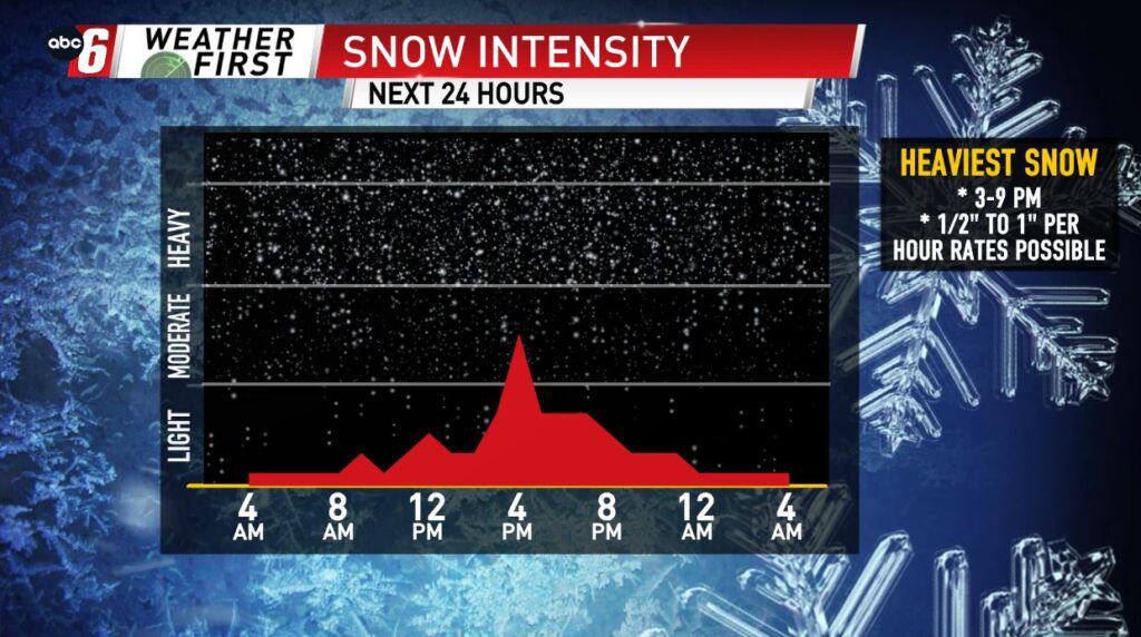
Snow will continue to fall Thursday with some bursts of heavier snow and lower visibility possible. Snow should begin to wind down late evening into the overnight.
A weaker, quicker storm and a further southerly track is leading to some lower snowfall amounts. A range of 2-4″ is likely for most with areas in far southeast Minnesota and northeast Iowa possibly exceeding that by one inch or two.
Wind will be a bit breezy at times, seeing gusts around 30 mph leading to some areas of blowing snow and lower visibility.
Conditions will slowly improve Friday, only for another snow chance to quickly move in later Saturday through Sunday, bringing another 1-3″ for the area. Temperatures will be hovering in the 30s through the weekend & into next week.
For all weather information, and to stay updated with the forecast, CLICK HERE.
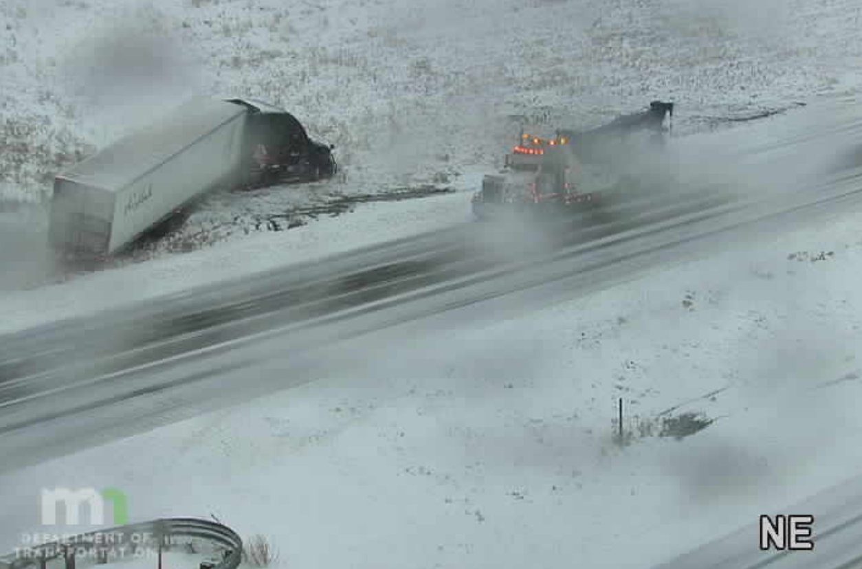
For the latest road conditions per the MnDOT, CLICK HERE.
To view road cameras provided by the Minnesota & Iowa D.O.T., CLICK HERE.
To submit a weather photo, CLICK HERE.