ALERT DAY Friday: Light snow, slick travel
[anvplayer video=”5153304″ station=”998128″]
(ABC 6 News) – A very powerful winter storm that has gripped much of the area this week will continue to slowly spin across the region.
The ABC 6 Weather First team says steady, light snow will continue Friday, keeping roads slick through the day.
We can expect an additional 1-2″ across the area on top of what we picked up Thursday.
The wind will be a bit breezy at times out of the NW, with gusts into the 30-35 mph range. Watch out for lower visibility & a little drifting as a result.
Roads remain slick with MnDOT reporting several vehicle spin-outs, crashes and jackknifed semi’s already on Friday. Below, a semi jackknifed on westbound I-90 approximately 5 miles west of Dexter a little after 9:00 a.m.
TRAFFIC ALERT: Roads are slick! Take it extra slow today. A semi has jackknifed on I-90 westbound about 5 miles west of Dexter. pic.twitter.com/GiSH29KNLT
— ABC 6 News – KAAL TV (@ABC6NEWS) December 16, 2022
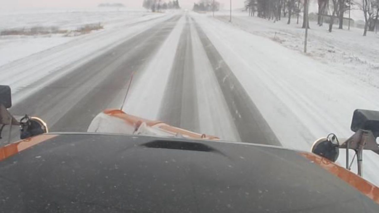
Meanwhile, the gusty winds combined with light slow has led to tricky travel conditions especially in rural areas as a result of blowing and drifting snow. An MnDOT camera just north of Albert Lea captured drivers taking it slow on Friday morning.
[anvplayer video=”5153243″ station=”998128″]
After today, we are going to see minor snow chances Monday-Tuesday, then Wednesday-Thursday.
Courtesy: MnDOT
The main forecast focus of next week will be the temperatures, as the long range forecast models are showing signals of a major drop in that department.
Starting Sunday night, we’re making our first widespread run at sub-zero marks on the season. And you better get used to the cold, as it will be staying put the week before Christmas.
We could see wind chills late next week drop into the -25 to -40 range, already prompting ALERT DAY status Wednesday – Friday!
For all weather information, and to stay updated with the forecast, CLICK HERE.
To view closings and delays, CLICK HERE.
For the latest road conditions, CLICK HERE.
To view road cameras provided by the Minnesota & Iowa D.O.T., CLICK HERE.
To submit a weather photo, CLICK HERE.