ALERT DAY Wednesday: Strong winds to cause blowing snow, slick roads
[anvplayer video=”5150475″ station=”998128″]
(ABC 6 News) – An ALERT DAY continues into Wednesday as a strong northwest wind will continue to blow the snow around, especially out in the open areas, resulting in more tricky travel conditions throughout the area.
ABC 6 News Weather First Meteorologist Jim Peterson says road conditions will slowly improve as the day goes on, however it will remain a slow go at times. Please allow plenty of time to get to your destination. Don’t rush things! It’s another day just to take it at a slow & steady pace.
Tuesday saw dozens of vehicle crashes, spinouts, and standstills across the state. While road conditions weren’t nearly as bad on Wednesday, there were still plenty of slick roads which made for some tricky travel as the Minnesota State Patrol said there were 42 crashes, 32 vehicle spin-outs, and 7 jackknifed semis from 6:00 a.m. to 10:00 a.m.
#MSPNumbers Statewide 6:00 a.m. to 10:00 a.m., 11/30/22: 42 crashes (1 with injury, 0 serious/fatal) & 32 veh spin out/off the road & 7 jackknifed semis.
— State Patrol PIO (@MSPPIO) November 30, 2022
The northwest wind is also causing an issue with our temperatures, as we are down into the lower 20s for highs today. Clouds clear throughout the day, leading to a very cold start Thursday morning in the single digits, with wind chills sub-zero.
A quick burst of snow returns Friday night into Saturday, with the potential for another larger-scale storm system to move into the region early next week.
To track current weather conditions, radar, and to stay updated on the latest weather information from the ABC 6 News Weather First team, CLICK HERE.
To view closings and delays, CLICK HERE.
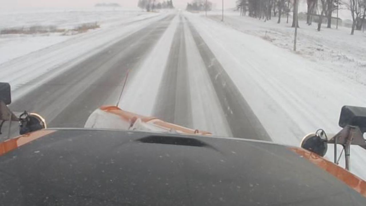
Courtesy: MnDOT
For the latest road conditions, CLICK HERE.
To view road cameras provided by the Minnesota & Iowa D.O.T., CLICK HERE.
To submit a weather photo, CLICK HERE.