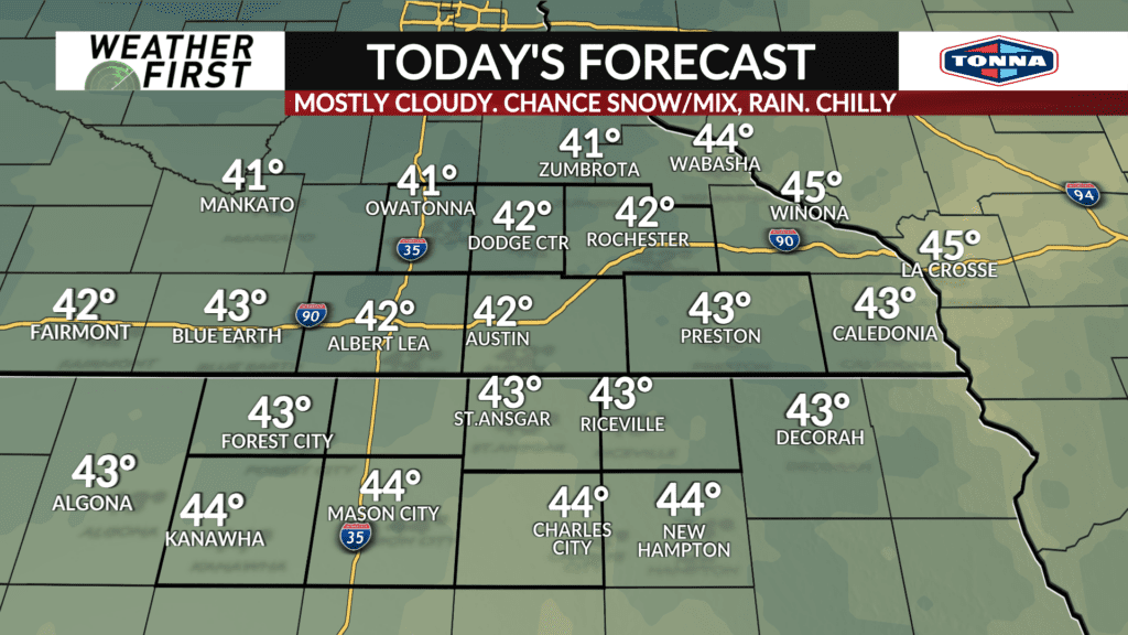
Wintry mix for some, chilly, cloudy Friday
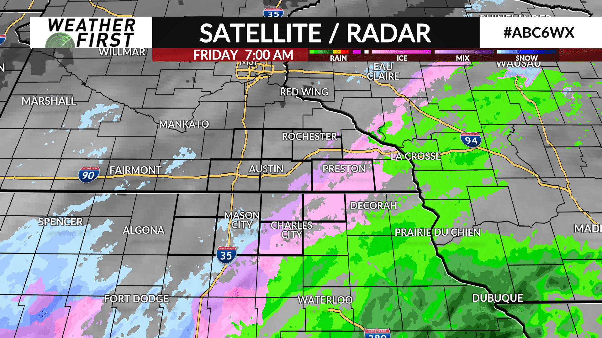
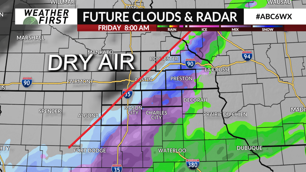
A storm system moving through the mid-Mississippi River Valley will lead to some wintry precipitation for some communities on Friday.
The center of the storm will pass south of the local area as it tracks northeast from Missouri towards the southern Great Lakes region. High pressure situated over the upper Midwest will send in dry air on the heels of a northerly wind which will limit how far north precipitation does travel.
As a result, precipitation will be likely for areas near and south of I-90. Further north, many area will see little to none.
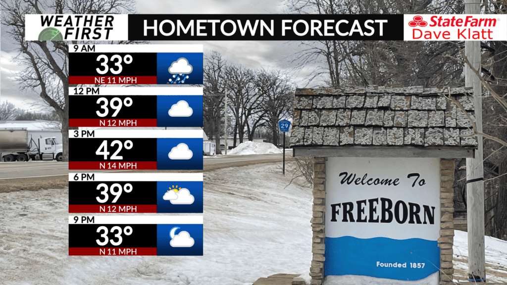
Temperatures are expected to be near or below freezing for a good portion of the morning in areas where precipitation falls, therefore a wintry mix of freezing rain, sleet and snow is possible. A changeover to or a mix of rain is possible in areas that warm above freezing later in the morning.
Precipitation will start to exit the area by lunch time with clouds remaining through the day before the high pressure drifts further south clearing the clouds later this evening.
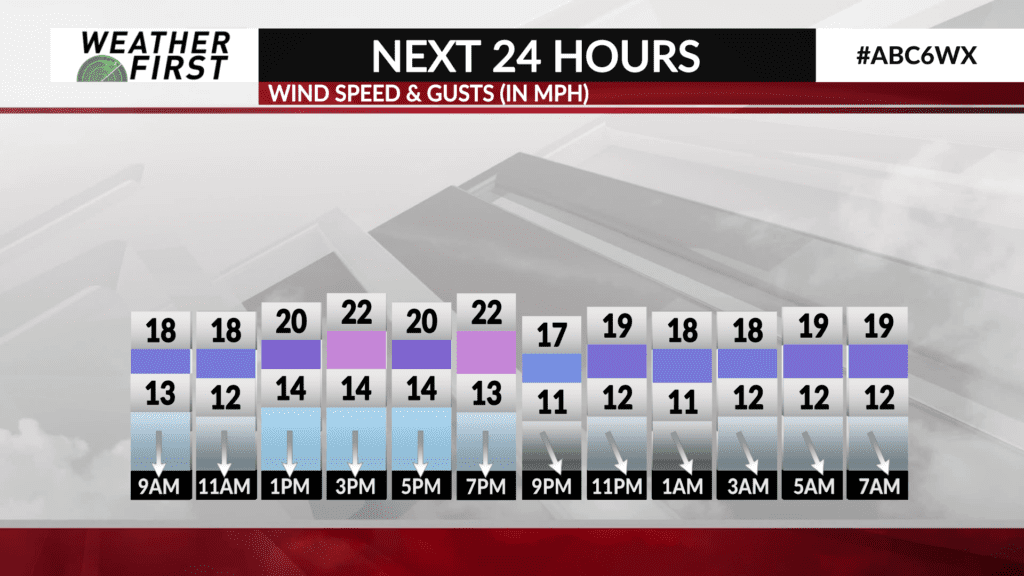
High temperatures will be near or in the low 40s for most area wide. It’ll be a bit of a blustery day with a north wind gusting at times to 25 mph.