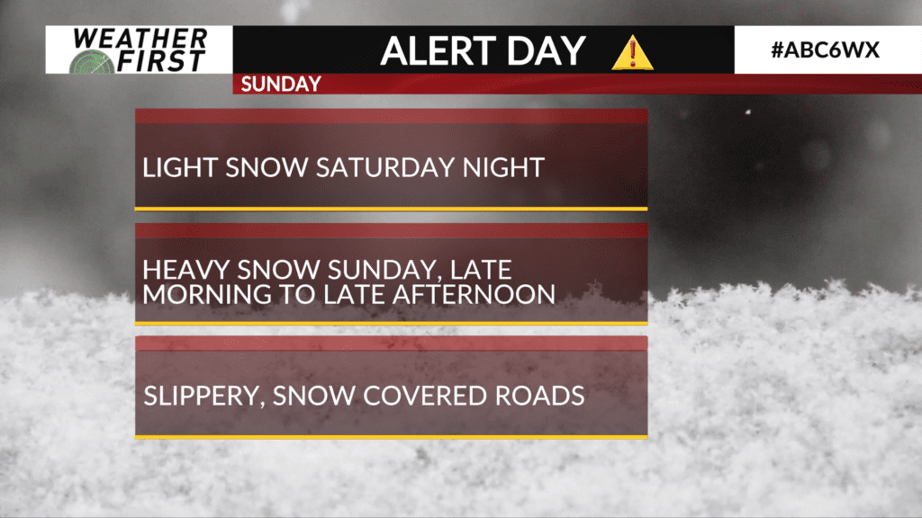
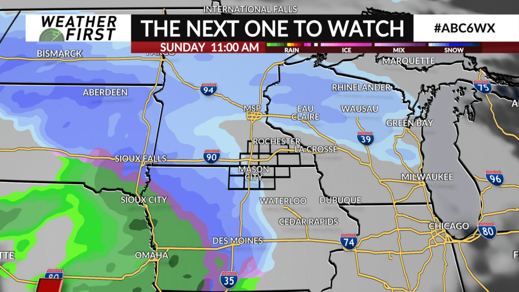
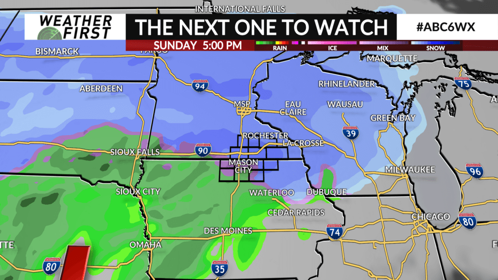
ALERT DAY: Heavy snow potential Sunday

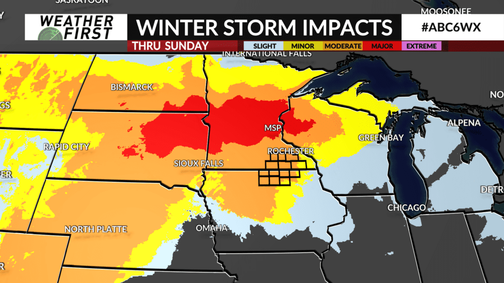
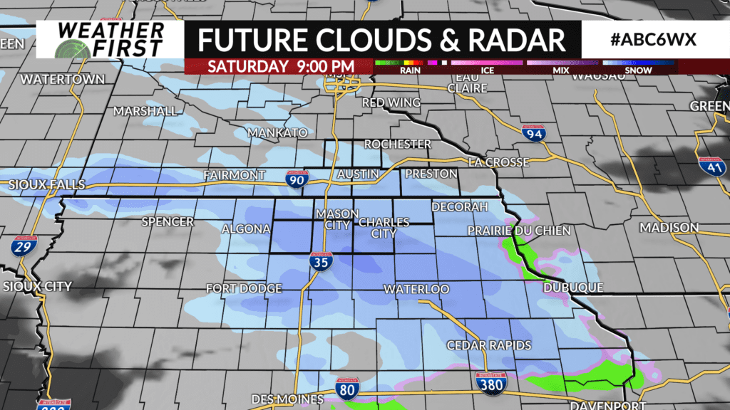
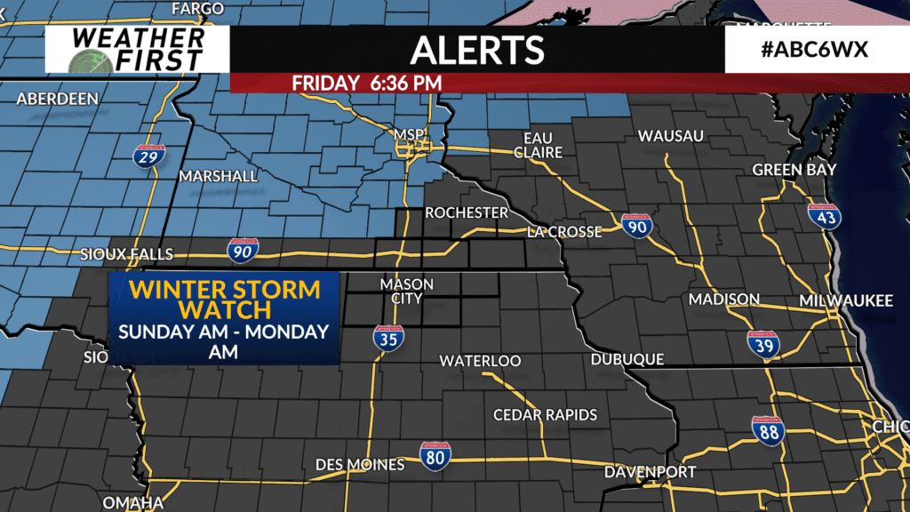
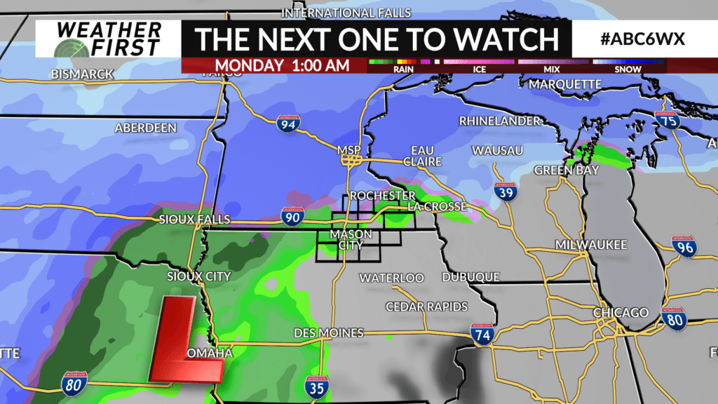
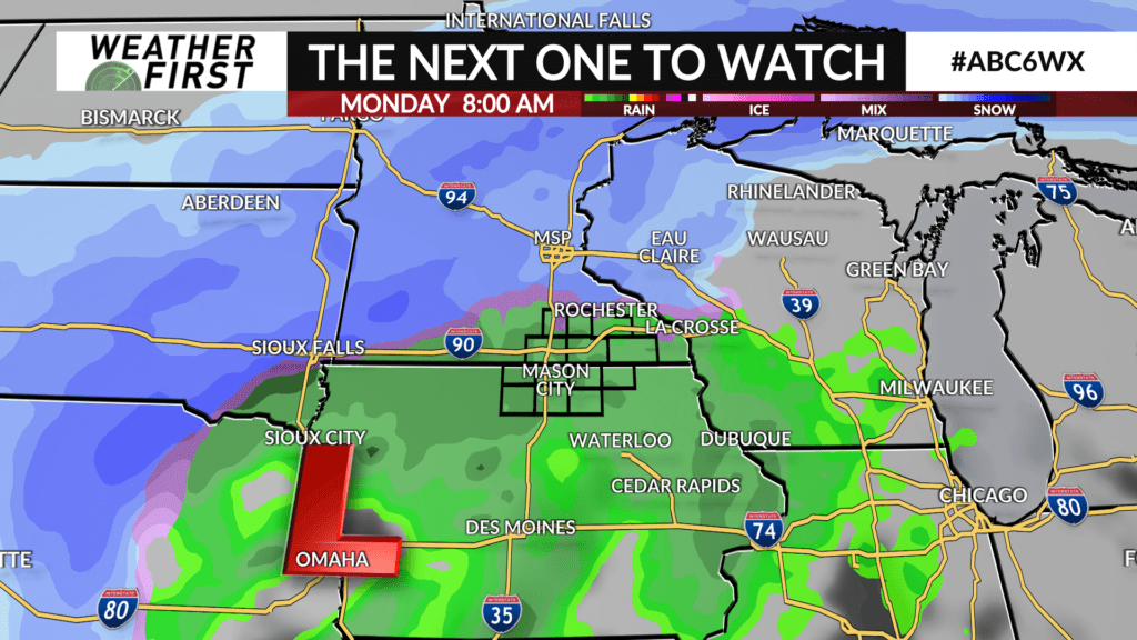
A large storm system is still set to start affecting the region Sunday through Tuesday. This one will eventually bring a batch of warm air with it. Before the warm front reaches us, snow will fall heavily at times from late Sunday morning through Sunday afternoon. Iowa will receive snow at first, then converting to rain sooner than along and north of I-90. With heavy snow lingering along and north of I-90 a bit longer, snow will pile up more quickly in southern Minnesota.
The heaviest snow will remain just to our northwest, but it’s not looking like anything to sneeze at here at home. Before snow turns to rain, we could see totals up to and around 6″ in parts of southeast Minnesota. There will be a very sharp drop in snowfall amounts from north to south, and as we get closer to Sunday, we’ll have more specific information on expected snowfall amounts.