Warming temperatures along with chances for rain next week
The wintry chill that has been plaguing the area over the last few days will slowly start to move out as temperatures moderate the rest of the week heading into the weekend.
Highs on Wednesday will be in the upper 30s to mid 40s across the area as a storm system nearby will bring clouds and snow and rain showers.
The storm moves out for Thursday with temperatures getting a boost into the mid-to-upper 40s.
Temperatures will continue to climb with Friday’s highs nearing 50° and mid-to-upper 50s expected on Saturday before another system brings rain back to the area on Sunday with cooler temperatures in the 40s.
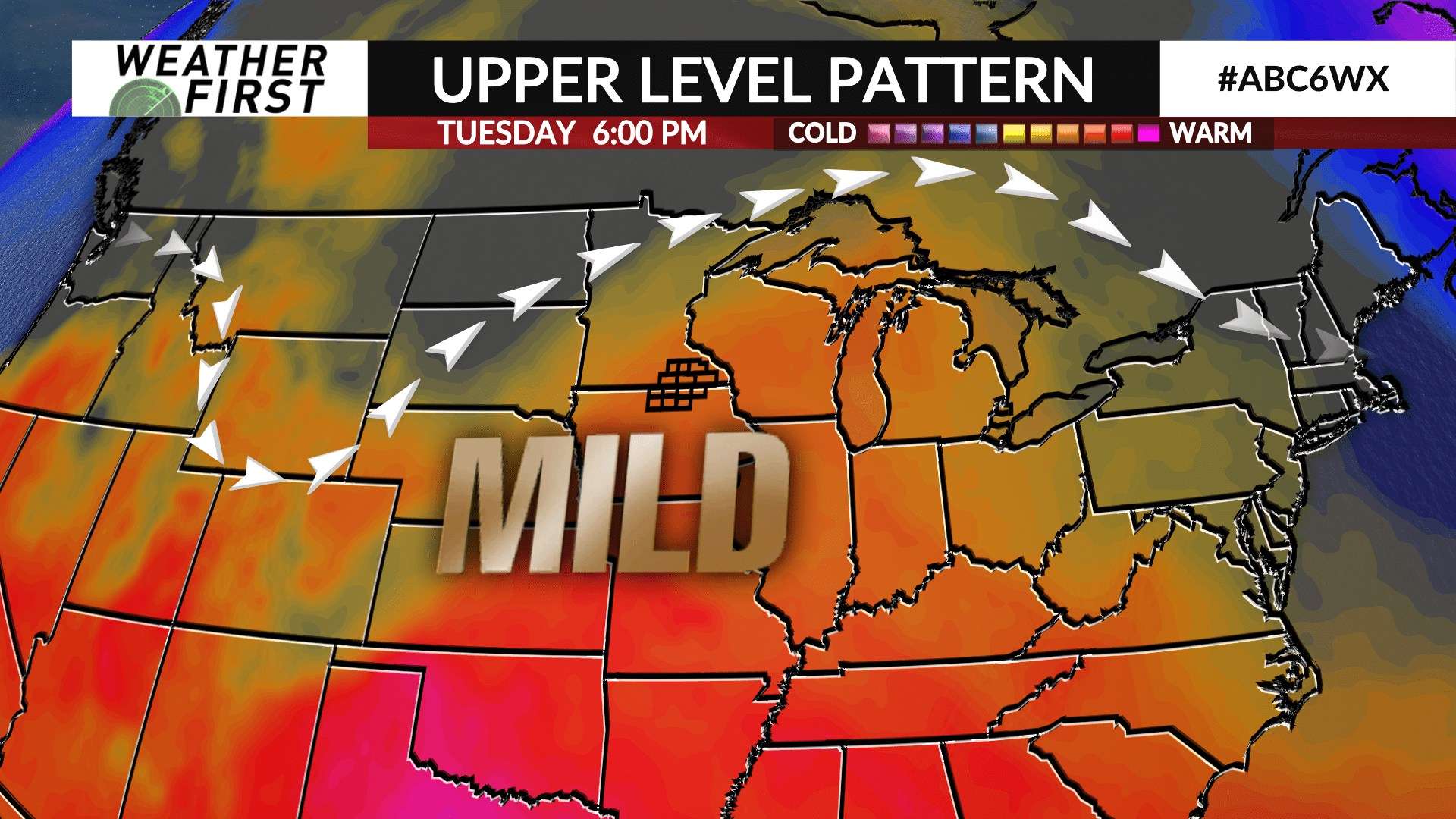
Warmer air surges in for Monday lasting through the middle of next week as highs will be near or in the low 60s.
A couple of weather systems will cross the region beginning Monday and lasting through Thursday leading to daily chances for rain. The track and timing of each is uncertain and those details will be ironed out as each gets closer.
The Climate Prediction Center has a higher probability of above average precipitation in the Weather First area in the 6 to 10 day period from April 8th through 12th.


