Warmer air arrives to end the week
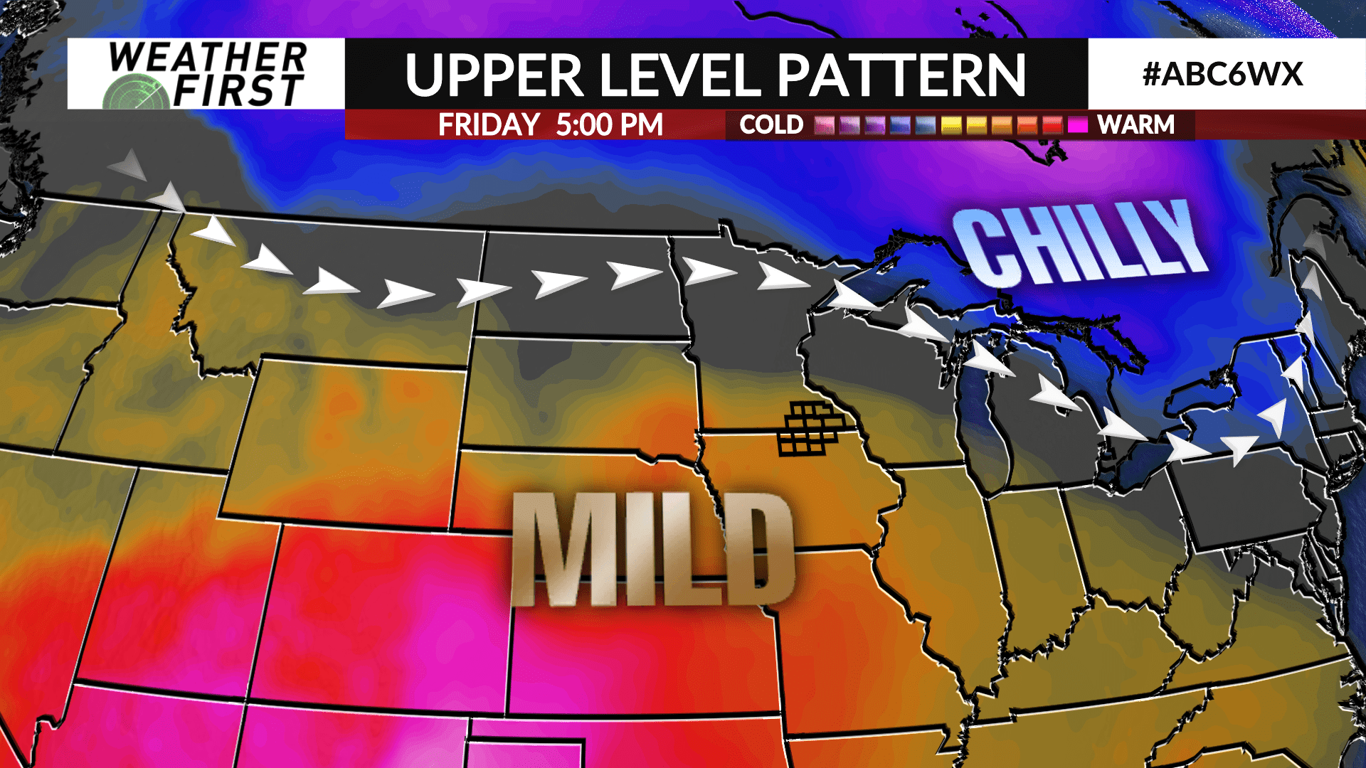
Chilly air will keep the area locked into below average temperatures through the middle of the week before warmer air fights its way in as the week ends.
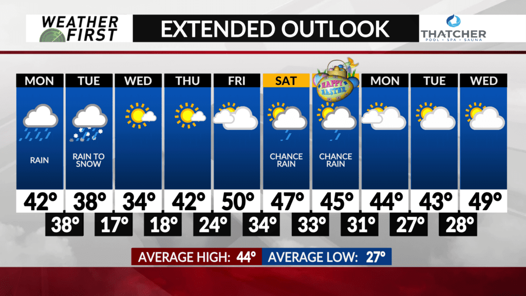
High temperatures on Monday will be in the 40s with some low 50s possible in north Iowa. Temperatures will then cool down behind a passing cold front early Tuesday. Temperatures will fall throughout the day from the 30s and 40s in the morning to the 20s by afternoon.
High pressure will build in on Wednesday keeping the chill overhead with high temperatures in the 30s.
Temperatures will moderate back into the 40s on Thursday with some 50s possible on Friday as a warm front nears the area.
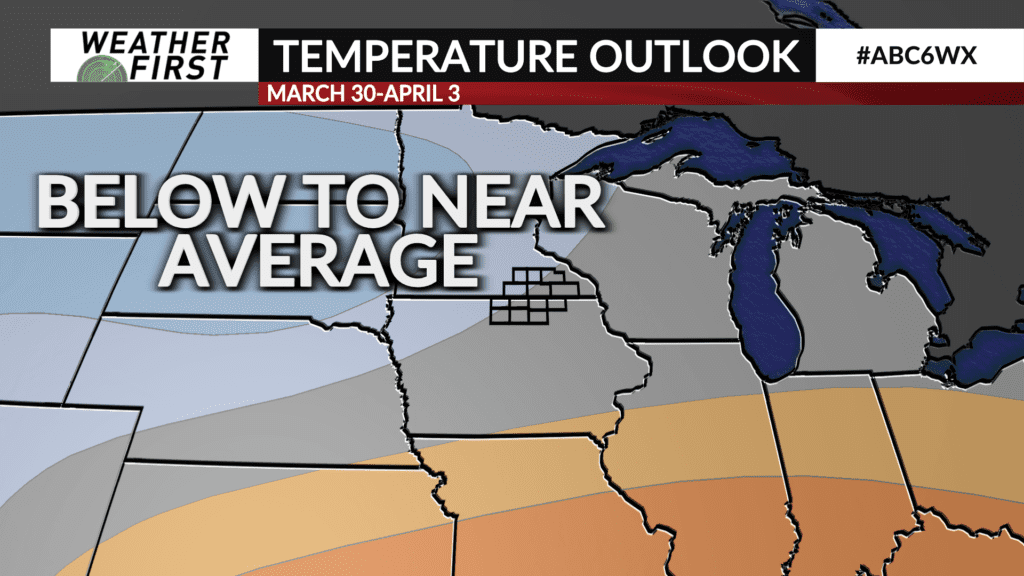
Temperatures are expected to remain below-to-near- average heading into April, according to the latest temperature outlook from the Climate Prediction Center.
Depending on the position of the front and waves of energy moving along it, a few showers will be possible from late Friday into Sunday. More details to be ironed out in future forecasts as it gets closer.