Warm surge to bring more record high potential through midweek
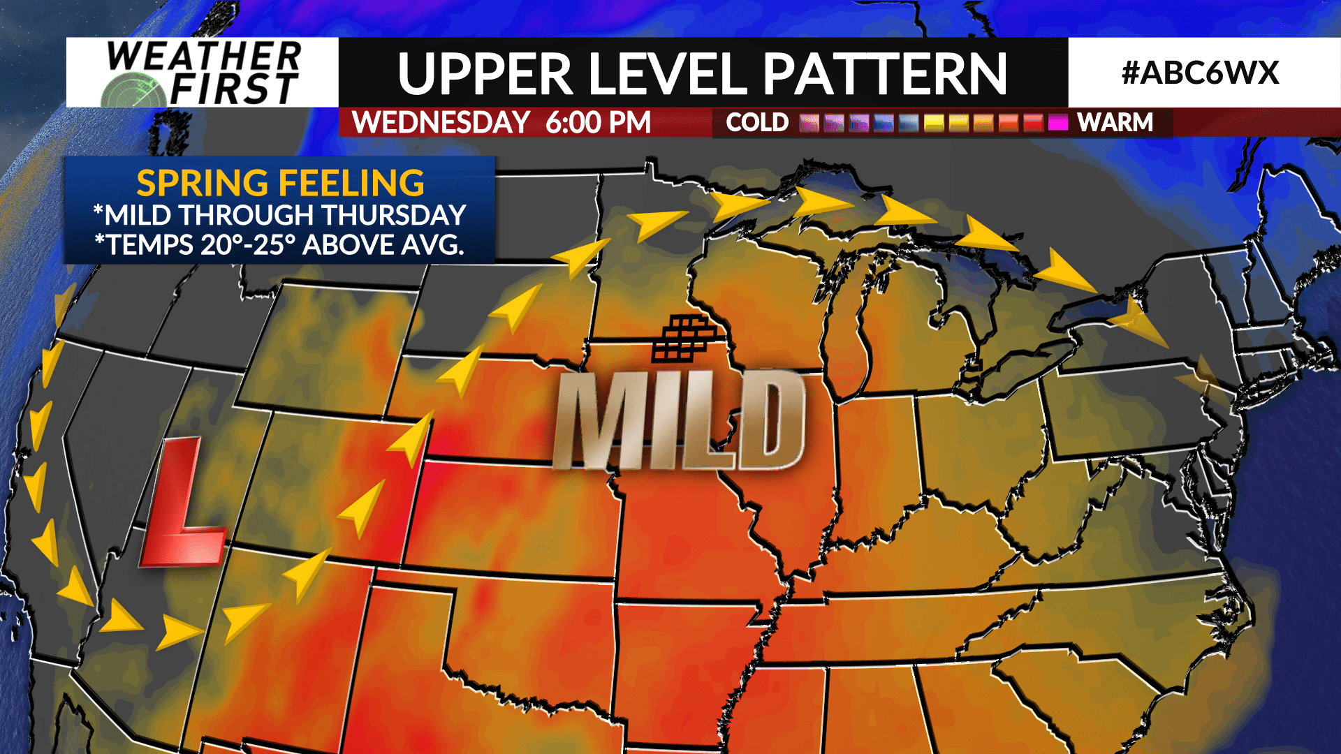
Winter will continue its extended vacation this week as mild air for early February will lead to possible record-breaking temperatures through the middle of the week.
Temperatures on Tuesday will climb into the low 50s which will likely set records for many communities in the ABC 6 Weather First area.
The mild air will continue to grip the area with highs in the low-to-mid 50s on Wednesday and Thursday which will be fairly close to records. Overnight lows are expected to be in the 30s and 40s which could set records for warmest low temperatures.
The wind will also ramp up starting on Wednesday. It’s tough to get these mild, record-breaking temperatures this time of year without some southerly wind component. Gusty winds of 25-35 mph are possible Wednesday and Thursday. The wind will turn to the west on Friday and eventually the northwest on Saturday as chilly air makes its way in.
Colder air will build in on Friday as a cold front passes with chilly Canadian air to follow which will lead to temperatures in the 30s this weekend lasting through next week. Despite the colder air, temperatures will still be above average.

