Two systems to watch next week
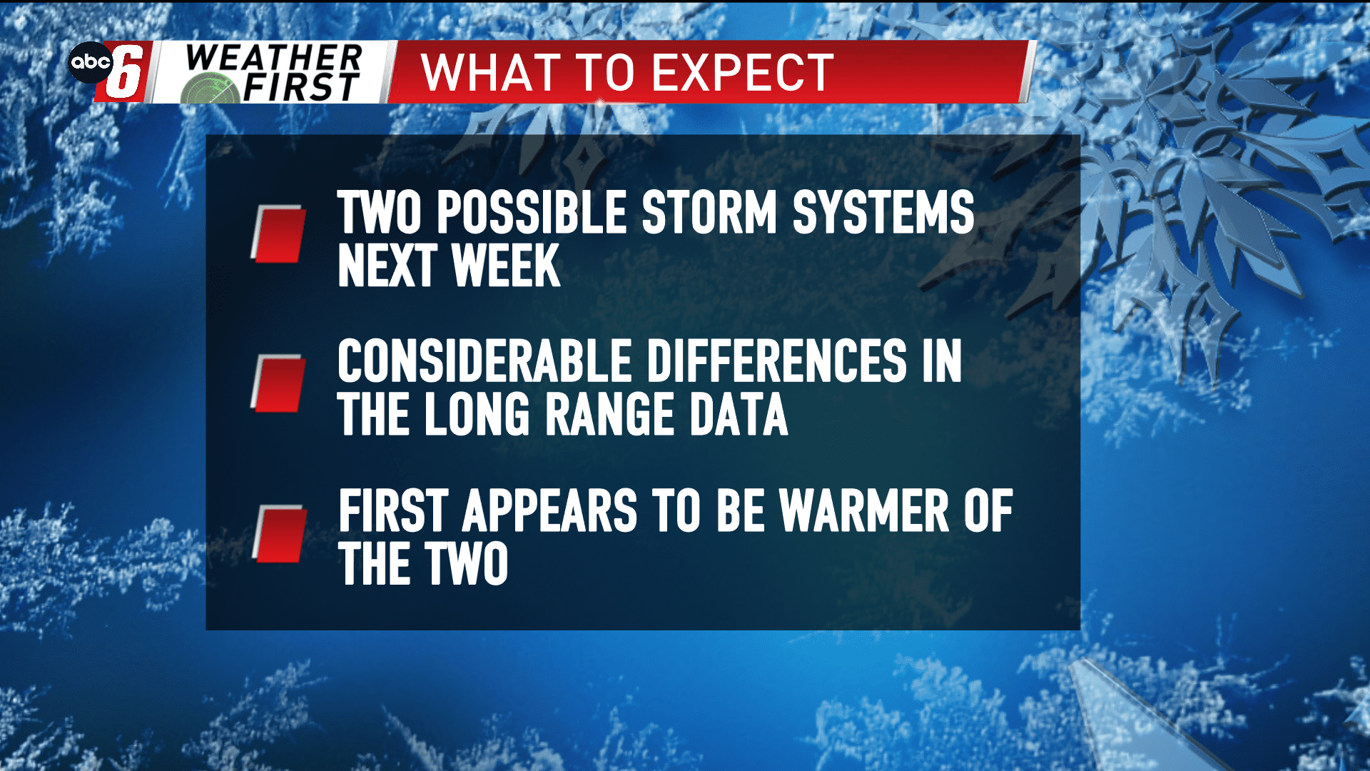
In the long run, the pattern turns a bit more active. Two possible storm systems have been pegged in the long range data, although, there are some differences in the evolution.
The Tuesday-Thursday timeframe is the window of opportunity for these two moving through. With that being 5-7 days out there is considerable movement with the details surrounding the progression. So for now we’ll keep things general.
Of the two systems, the first one is more wrapped up in the warmer air and at this point would be a better candidate for rain vs snow. The second will have more of a cold punch associated with it and more snow in tow. But how they line up for our area will obviously dictate those nitty gritty details. More to come!