Tracking Tuesday’s Snow
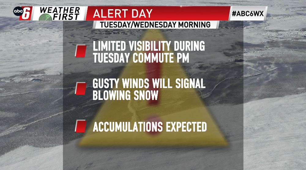
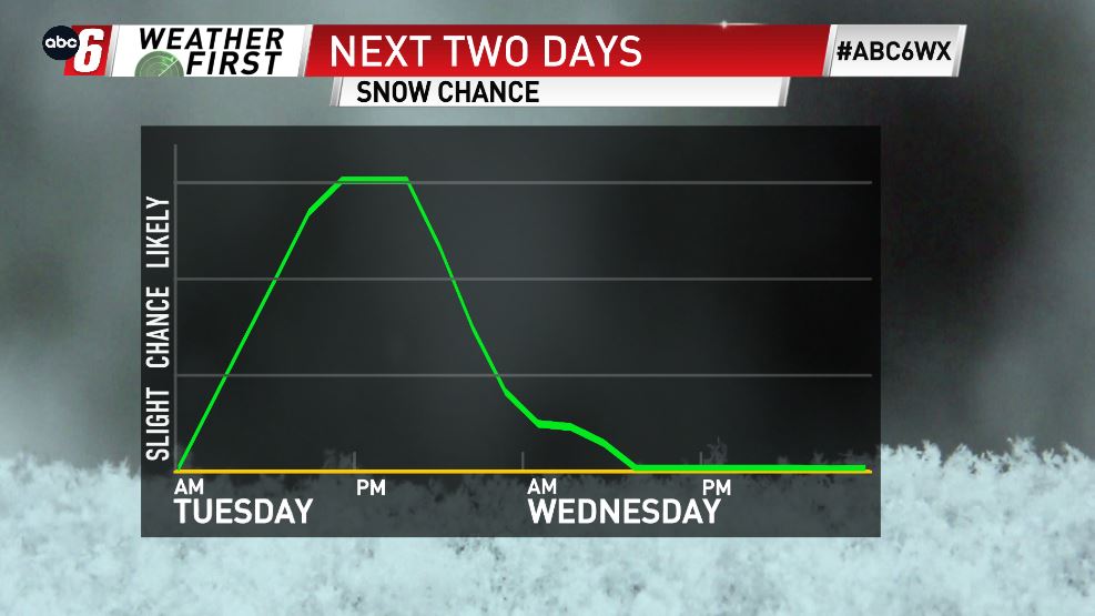
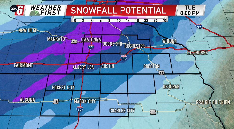
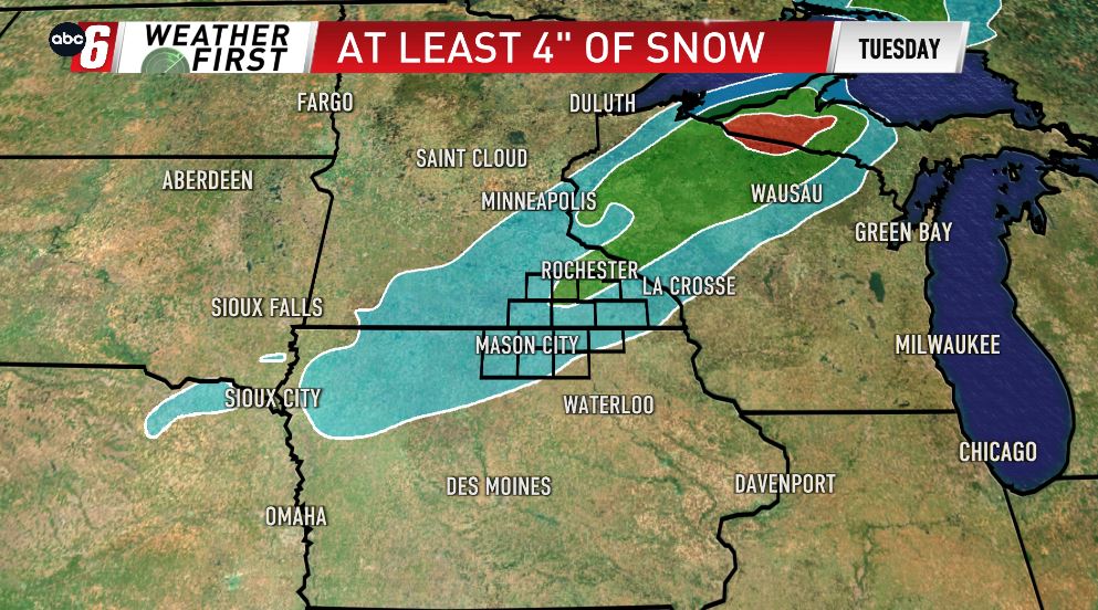
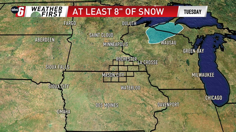
Our next weather-maker won’t be a whopper of a system in terms of snowfall potential for our area, however, it will bring us measurable snow & wind, prompting an ALERT DAY. A little rain may mix in with the snow early, as temperatures are above-freezing. This won’t last too long however, with temperatures tumbling below-freezing by the mid-day, allowing for the transition to all-snow for the afternoon & evening. The snow will be steady at times, with upwards of 2-4″ of snow, possibly more 5-6″, mainly north of I-90. Even though the overall highest totals will miss to the N/NE, we will see enough to break out the shovels & plows Tuesday.