Snow glancing south and east
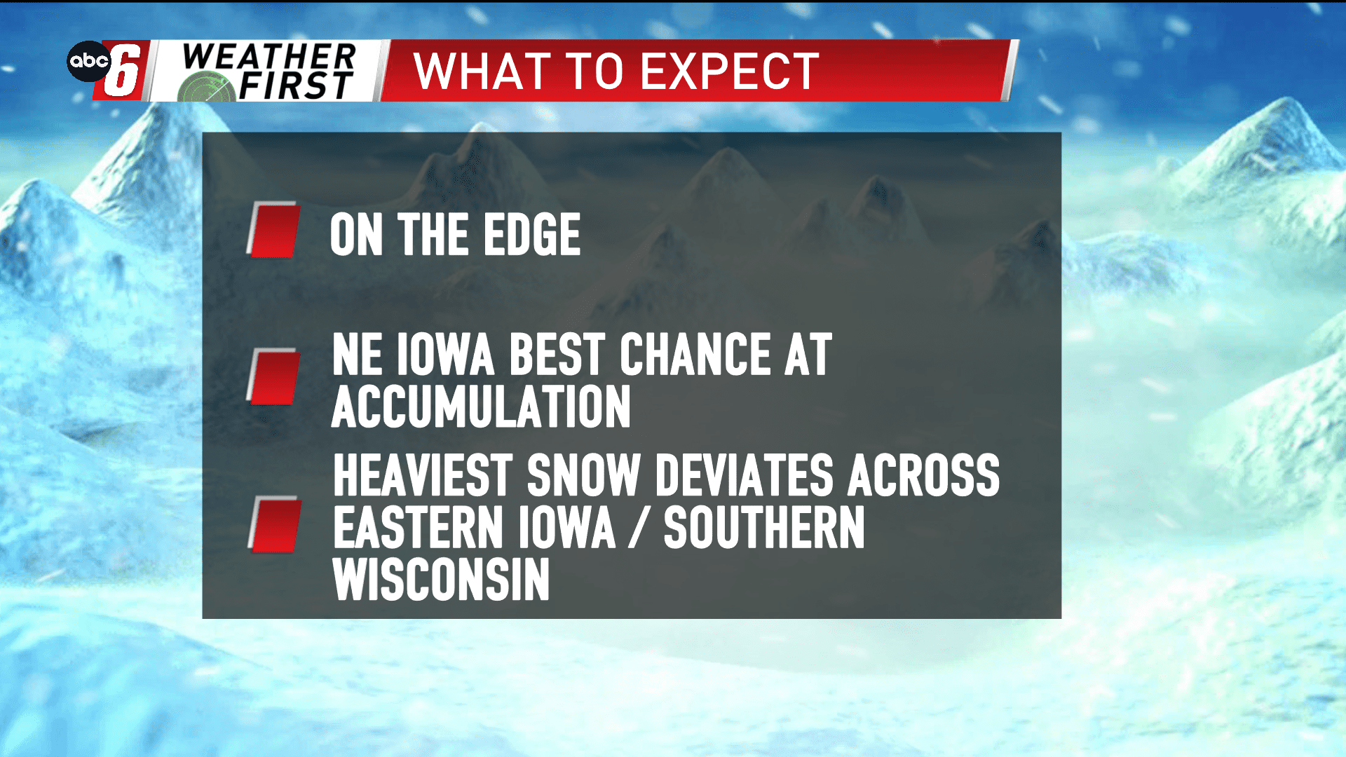
On Wednesday night into Thursday, our next storm system is passing by. Most of the target zone is situated off our southeastern edge. A swath of 6-10″ of snow is possible across central, eastern Iowa into Illinois and Wisconsin. It doesn’t appear that’s in the cards for us.
NE Iowa has the best opportunity to pick up an inch or two. Highest prospects are south of a line from Mason City to Winona. North of that line, we’re not expecting much, if anything at all.
To our south and east, travel troubles are expected in the mentioned timeframe. Locally, we’ll be tracking the northern extent. A subtle shift of 50 miles makes a big difference in the going forecast. We’ll be monitoring.
