Rain and snow update next week
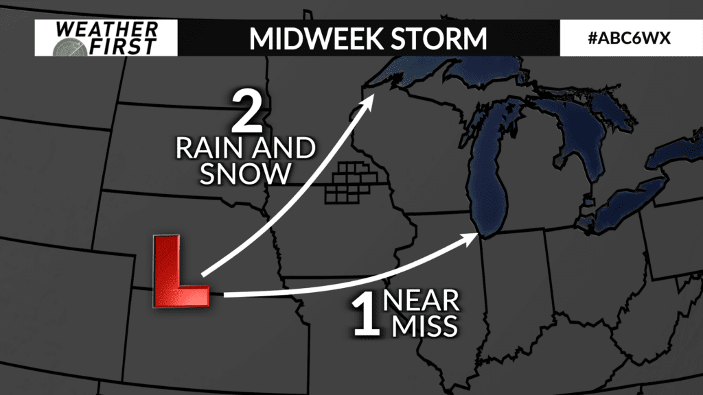
Details are starting to come together more on our rain and snow chances next week. We previously talked about whether or not the system would end up tracking mostly south of us (and we barely get anything) or if the low pressure center tracks more directly toward our area (and we get both rain and snow). We are expecting closer to the second scenario to play out.
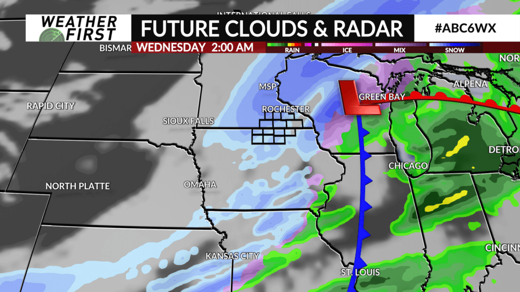
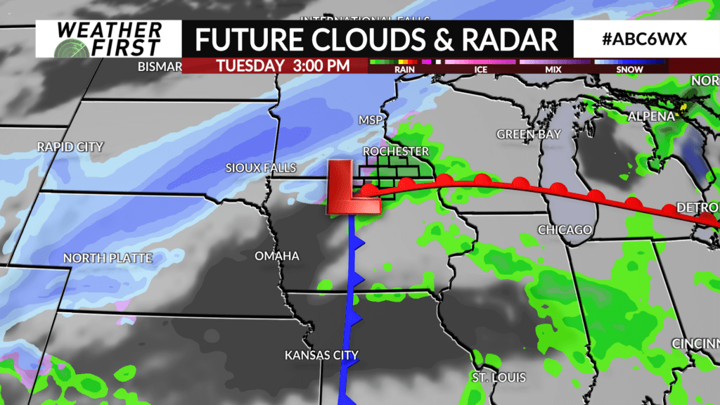
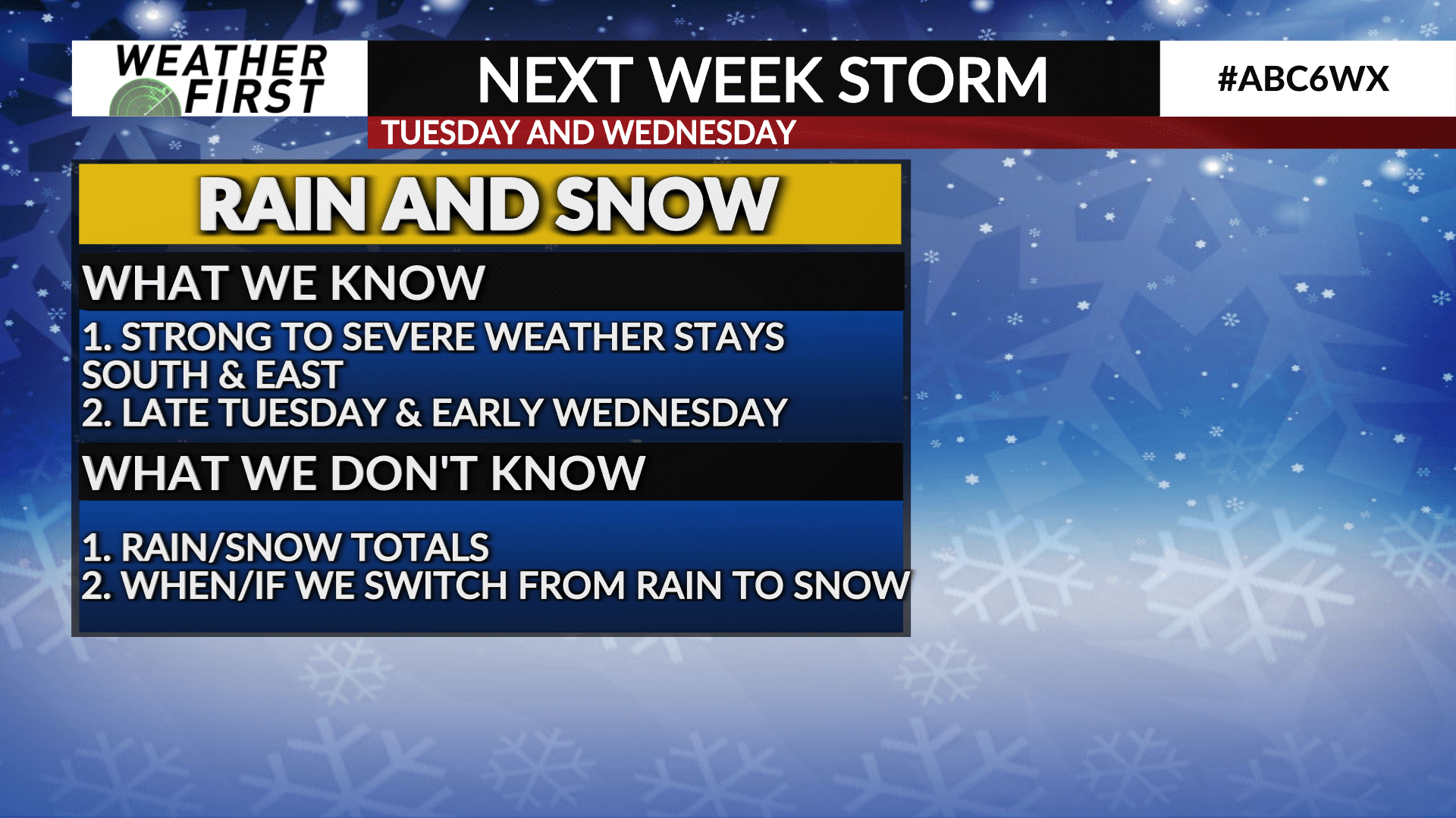
Rain is possible during the early afternoon. Then, we switch over to snow during the evening and it keeps falling through Wednesday morning. By Wednesday afternoon, the system is out of our area.
Snowfall totals are trending under 2″ widespread, but we should have an even clearer idea over the next couple days. Exact totals will depend on how how much rain we get and how quickly we cool off.
If you have family in Illinois, Indiana, western Michigan, or other states to our southeast, you will want to check in on them; they have the potential for severe thunderstorms. We will not have severe weather locally as we will already be cooling off by the time these storms form later in the day Tuesday.