Rain and snow chance arrive late this week
It’s been ten days since there has been measurable precipitation and the dry stretch looks to come to an end later this week.
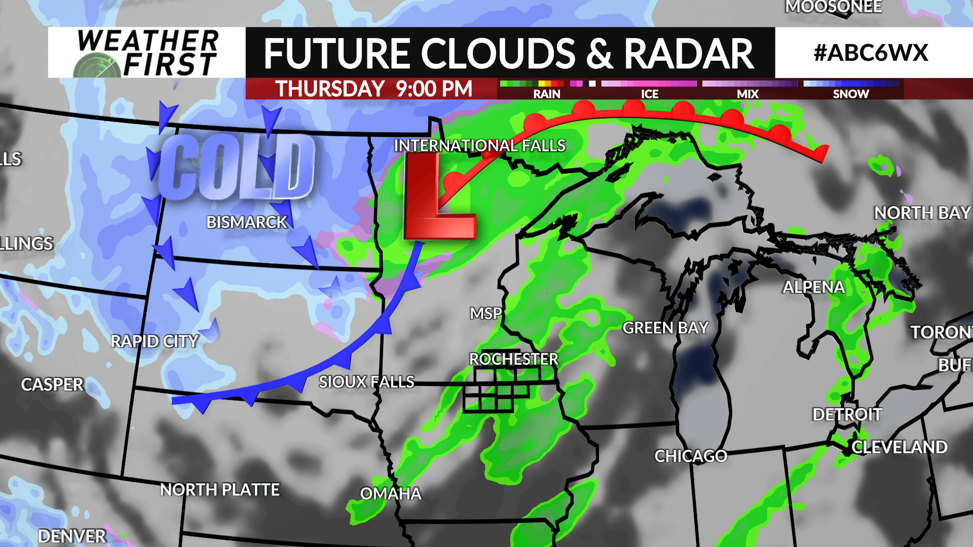
Warm air and moisture will build into the region heading into Thursday as a low pressure system tracks to the west from South Dakota into northern Minnesota putting the ABC 6 Weather First area in the “warm” sector of the storm.
Showers will develop sometime late Wednesday night into early Thursday morning. A lull is possible into the afternoon before additional rain chances arrive Thursday night as a cold front approaches.
As the front sweeps through, much colder air will follow as temperatures will fall from the 40s overnight through the 30s heading into Friday. Any moisture leftover will lead to the chance for snow showers.
Additional energy will rotate through on Saturday leading to an additional chance for snow showers. Little, to no accumulation is expected at this point.

