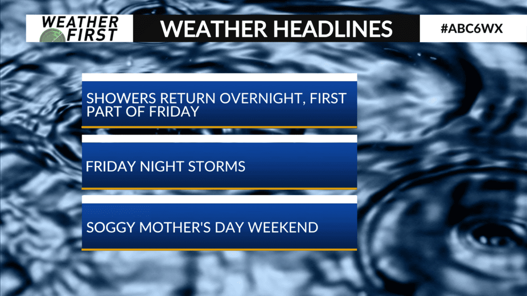
More storms Friday night into Mother’s Day Weekend
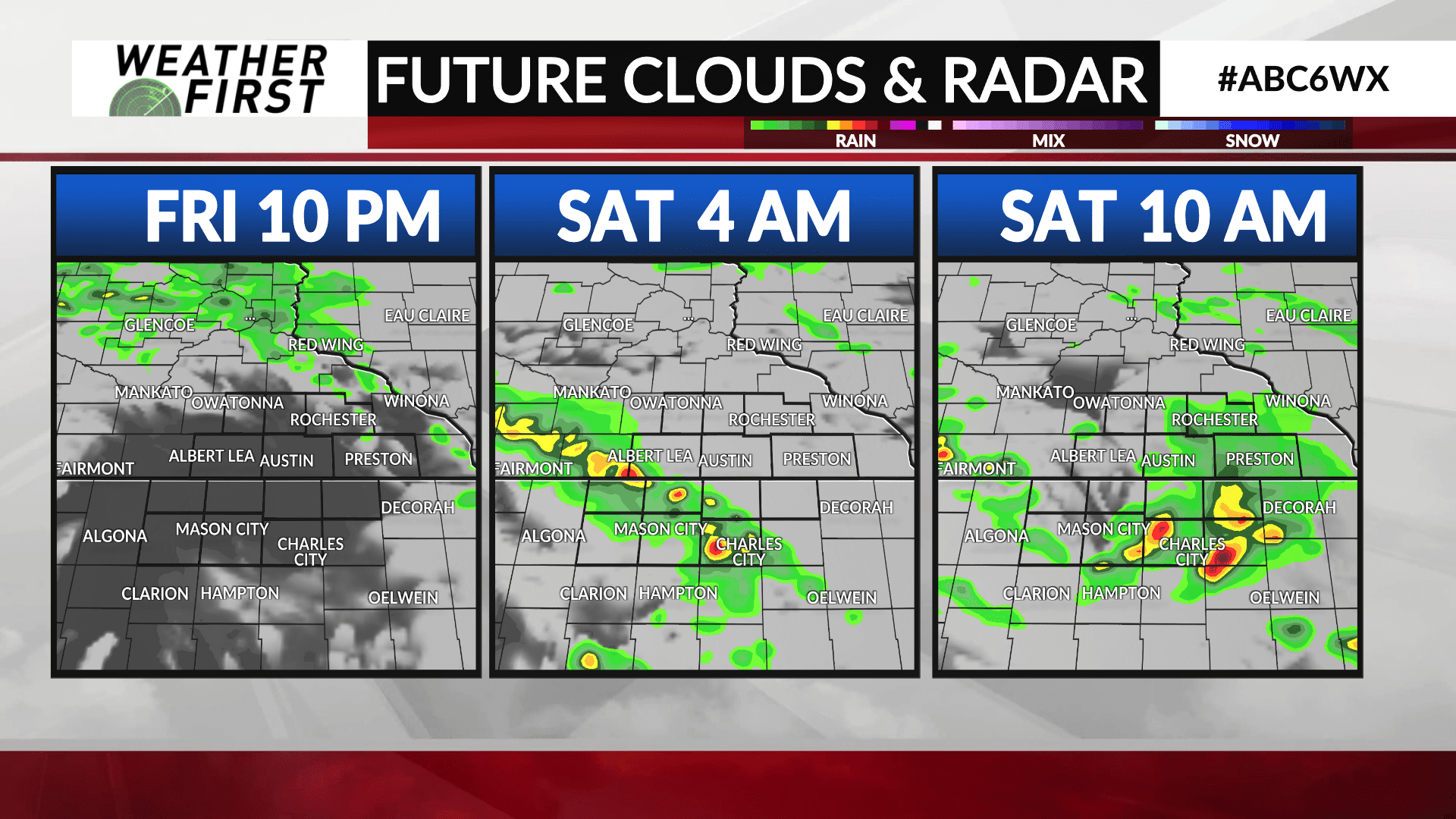
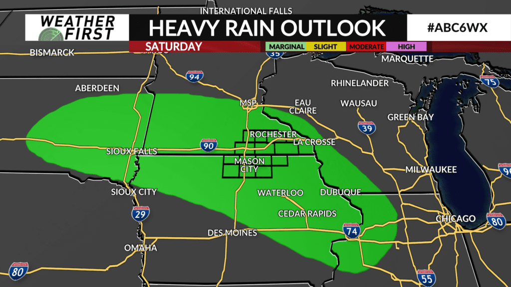
A few more waves of rain are ahead towards the weekend. Some heavier rainfall may be involved Friday night going into Saturday.
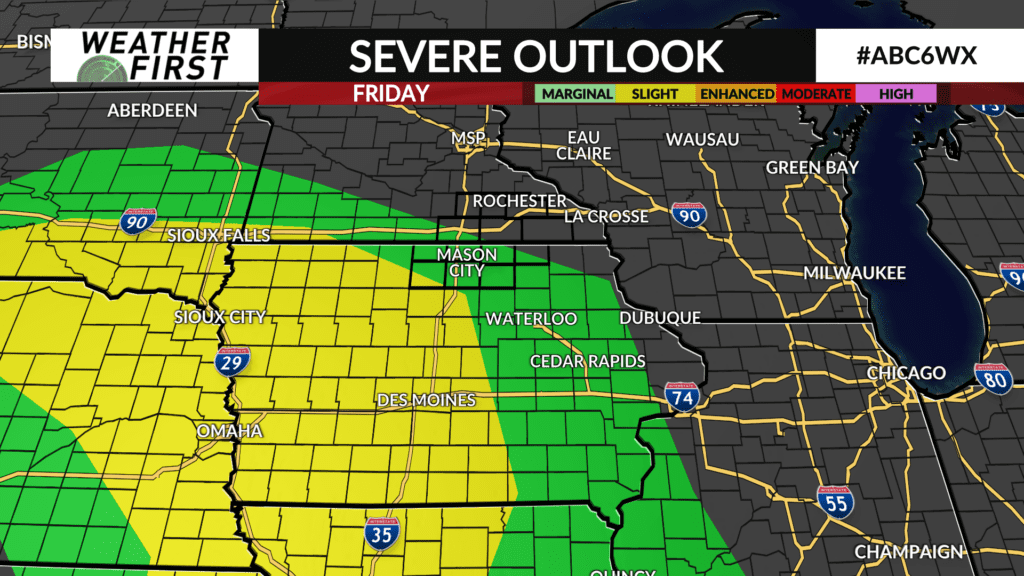
A warm front never fully gets here but it does serve as the focus for more thunderstorms to develop on Friday evening to our southwest. Conditions for severe weather are a bit more favorable in western Iowa. And with that front never fully arriving into our area, that should serve as the barrier to keep the severe stuff away.
That said, some pockets of heavier rainfall is again possible. This has prompted a concern in the Excessive Rainfall Outlook. We’re in the “Marginal Risk”, level 1 of 4 on that Outlook. Fresh off of the heavy rain from Thursday morning, we’ll be watching the setup closely.
Rain will continue to extend into Mother’s Day, especially in the morning. Coupled with a northwest breeze, we should see temperatures limited to the low 60s on the day. We’ll lose the thunder component so the threat for heavy rainfall will be lessened.