Many factors to consider for Sunday snow
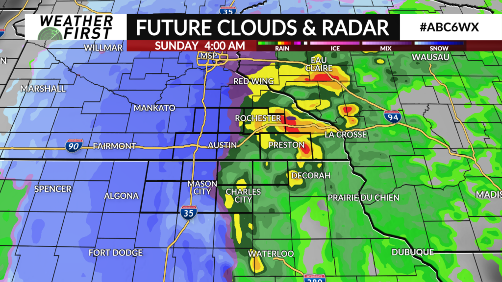
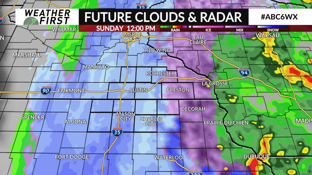
Rain will evolve into a rain/snow mix on Sunday. A cooler atmosphere pushes in on the back side of this system moving through. It’s a difficult scenario to diagnose with multiple question marks associated with it.
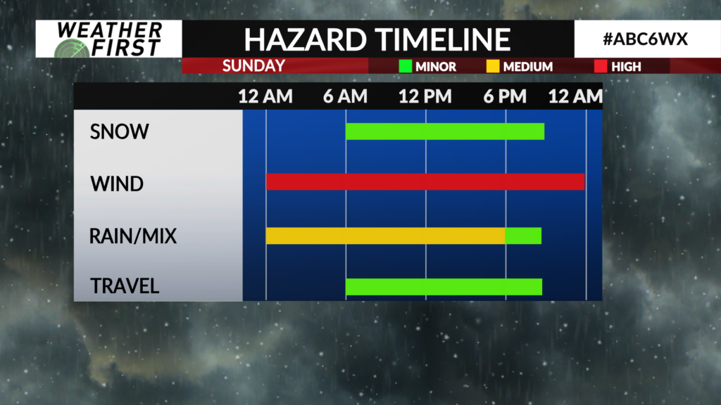
Here’s what we’re currently thinking. Snow begins mixing in as early as Sunday morning and lasts until the evening. Some will fall outside of daylight hours, but much of it will be during the day.
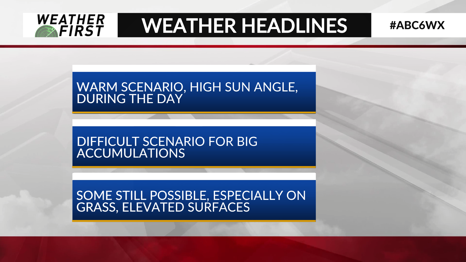
The scenario is ever complex because of the warm scenario leading into this with record highs preceding the event. Temperatures will fall back down to freezing levels, but the ground won’t be so quick to react. Add in the high mid-April sun angle (which is equivalent to mid/late-August) and a daytime setup, these signals all work against major snow accumulation.
The data is all over the place. The gamut of models differing widely in amounts and placement of accumulations… a signal they are struggling. The hi-resolution models are just starting to come into range with the timeframe. They initially have come in suggesting amounts will be lower than the long range data.
So how much sticks will surround the intensity of any snow as it falls. There is a tipping point to overcome all the detractors, but it will take an intense band.
With everything considered, I’m still not sold on high end amounts. I’ll open with a range of a dusting to 2″ but most of this will be confined to grassy/elevated surfaces primarily.
The wind will be strong, so visibility will likely suffer and impact the travel scene. At this point, we’re expecting to avoid major travel troubles otherwise.
Stay tuned as we get closer to this timeframe. No doubt updates to the forecast will be needed.