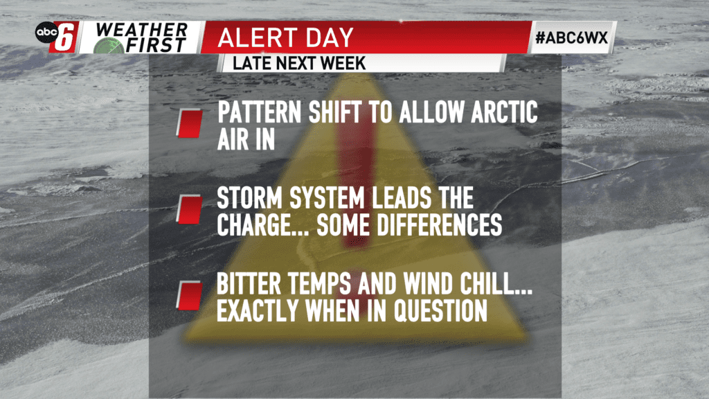
Long term still looks frigid
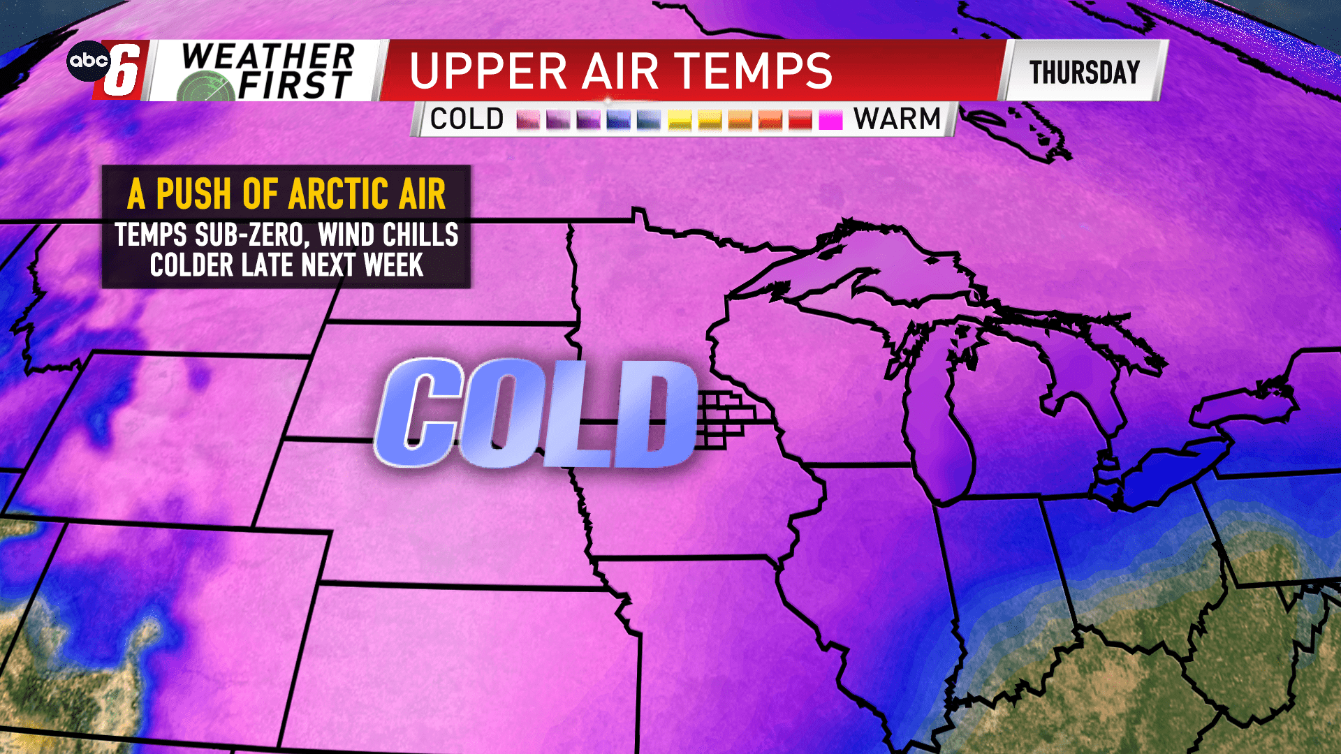
The exact timing on when frigid conditions arrive is still up in the air a bit. The pattern shift to let the arctic air slip into the Midwest is likely to occur, but the data is showing differences in how that gets done. There should be a potent cold front/storm system to lead the charge. And that looks to be the most likely in the Wednesday/Thursday timeframe.
Temps will slowly slip ahead of this arrival with a slew of sub-zero nights expected beginning as early as Sunday.
This storm system should stir up the winds meaning wind chills being down towards the dangerous levels of concern are more likely.
We’ll continue to watch the setup closely as we get closer.