Heating up for the holiday weekend

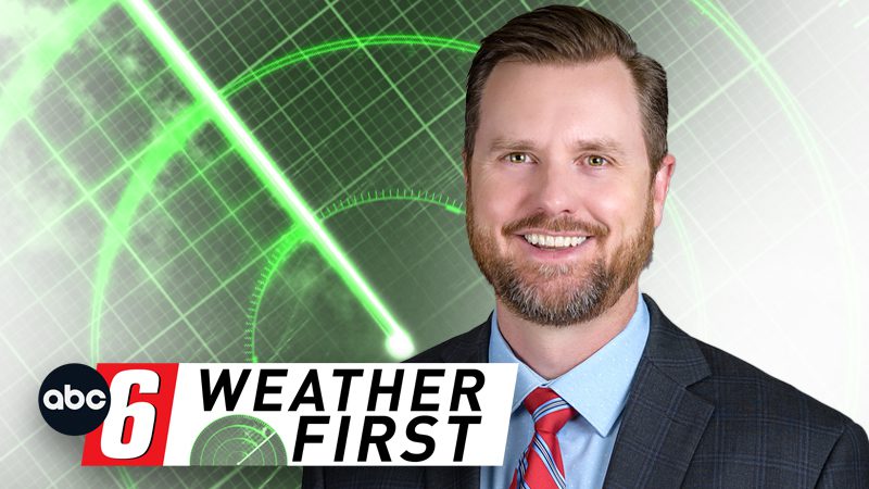
Chief Meteorologist Randy Brock
Sunshine and fairly typical, summer warmth will continue through Thursday before the weekend heats up into the 90s. The one thing that won’t change is the very quiet weather pattern with little to no chance of rain ahead of us. Highs this week have been slightly above average, topping out in the upper 70s to lower 80s. The same goes for Thursday with a high around 80° in the afternoon. A ridge of high pressure will be building over the region starting Friday, and temperatures will head back to the mid-80s Friday and into the 90s starting this weekend.
It’s looking like that heatwave will continue past Labor Day, but an approaching front might help to keep the hottest air away from southern Minnesota and northern Iowa. One of the question marks for this weekend is how humid it will be. There are signs of dew points struggling to get into the 60s Saturday through Sunday, and possibly Labor Day as well. Even with dew points in the 60s this weekend, heat index readings should stay below 100°. It’s a variable we’ll watch closely going into the weekend. Either way, it’s going to be unusually warm for the unofficial end of summer, and a fantastic opportunity to cool off in the lake, pool, or sprinkler.
Temperatures look to remain above average through the majority of next week, and even if there is a passing, isolated shower or two, our rain chances are still very low and no widespread, soaking rain is in the foreseeable future.