Garden variety storms Thursday
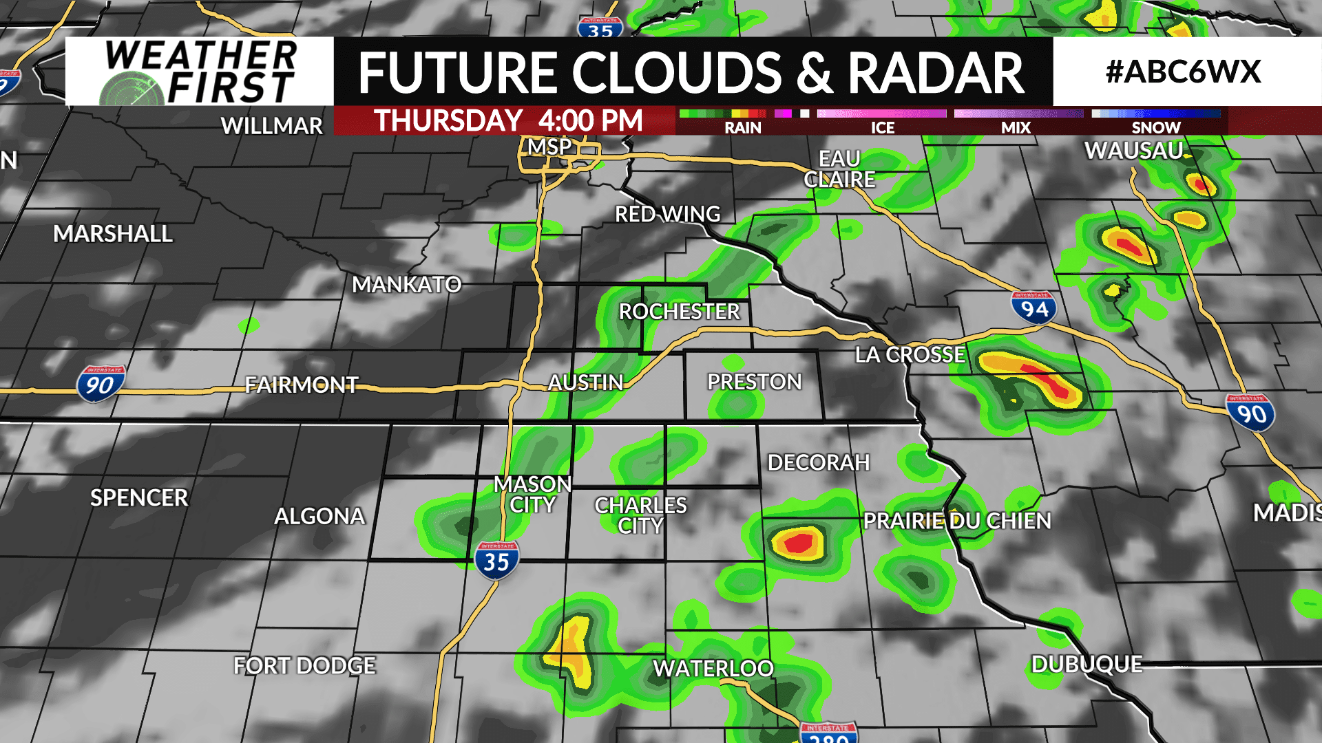
Showers and t-storms develop along a cold front Thursday afternoon and evening. That front arrives on our western doorstep around 2 PM and progresses steadily east with time. Most activity will be out by sunset.
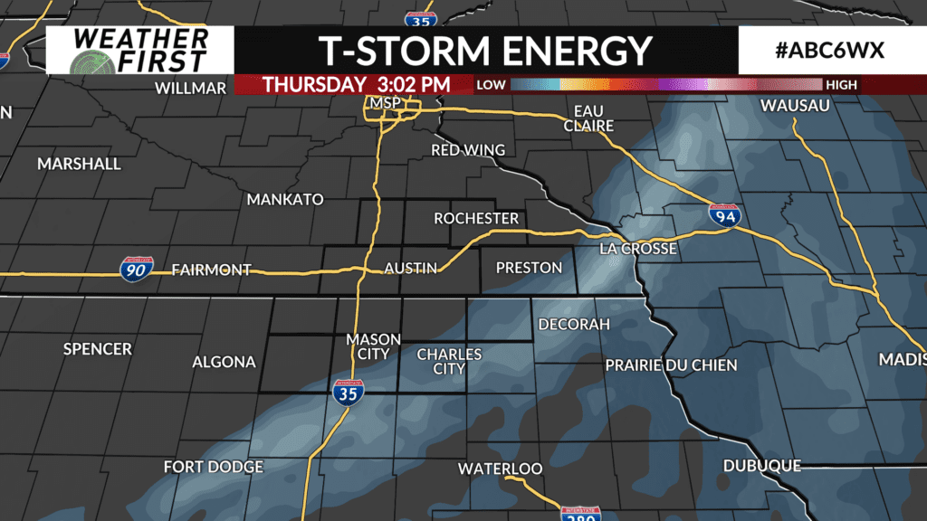
Ingredients needed for stronger storms just aren’t coming together so it is anticipated any storms that move through will remain under severe limits. In fact, the best energy and spin in the air is more in line with our eastern edge and into Wisconsin in the later stages of the afternoon.
Some downpours are possible along the path but due to the progressive nature of the band of rain, it is expected that totals will be limited. The target zone should be around 1/4″ but will fall above and below that threshold depending on the t-storms along the line. Most everyone should see at least something.