First of two systems next week
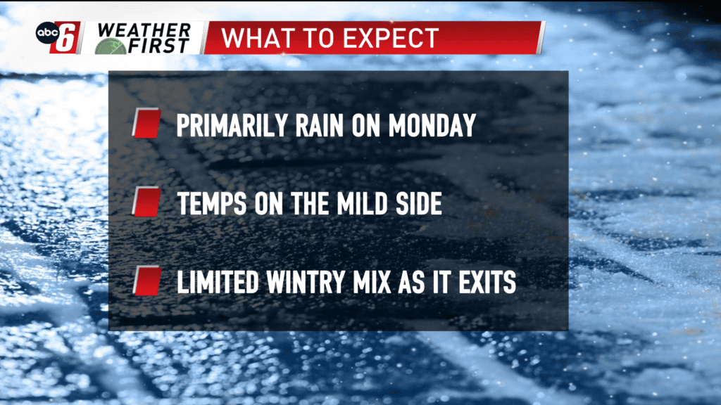
There are two possible systems next week. The second is a ways off in the distance so lets talk about the first opportunity. Monday’s second half sees our next storm arrive and it’ll linger into early Tuesday morning. This one is warm. Temps should be well into the 30s which should give us all rain. Early signals point to around 1/4″ to 1/2″ of rain. Most will be soaked up by the existing snow pack. Wintry components look to largely hold off with this one. Should they emerge it’s at the trailing edge of the departing system. So wintry impacts look to be minimal at this point.
We’ll need to bear in mind residual impacts of cold water running out of the snow pack onto a frozen ground. But this would be highly localized and not a widespread icing situation.