Cooler temperatures to follow late week storm
Temperatures will cool off toward the second half of the week following a storm system that will bring precipitation chances back to the local area.
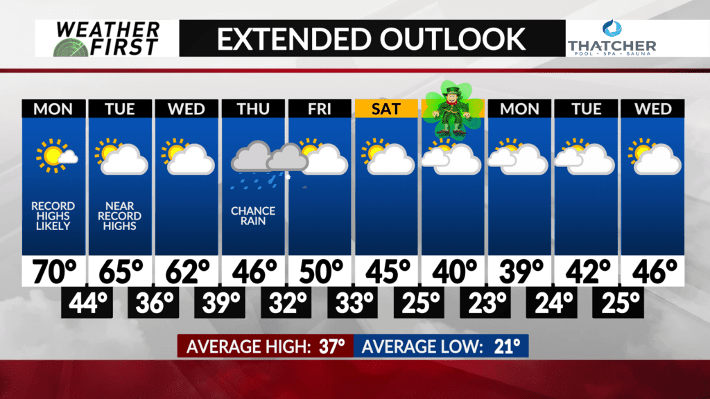
Mild weather will continue through Wednesday with record high temperatures possible on Monday and Tuesday with highs in the 60s and 70s.
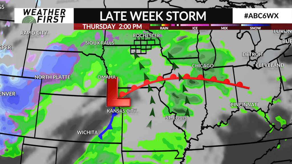
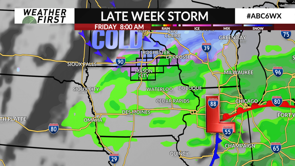
A storm system will pass through the area on Thursday leading to the chance of rain. Clouds and the threat of rain will limit high temperatures to the 40s. A mix or changeover to snow is possible late Thursday night into Friday as temperatures cool off. Specific storm details will be ironed out in the coming days.
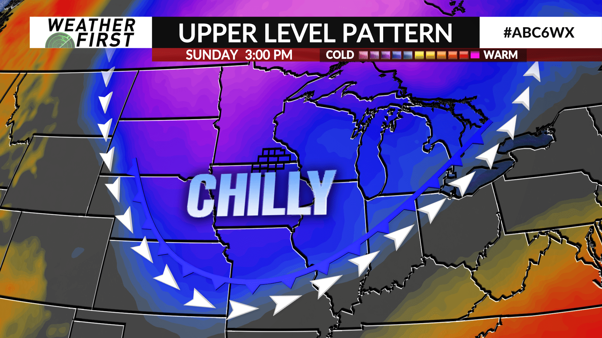
Temperatures will climb to near 50° on Friday before another sharp cold front arrives over the weekend with high temperatures in the 40s and it’s possible highs may not get out of the 30s next Monday.
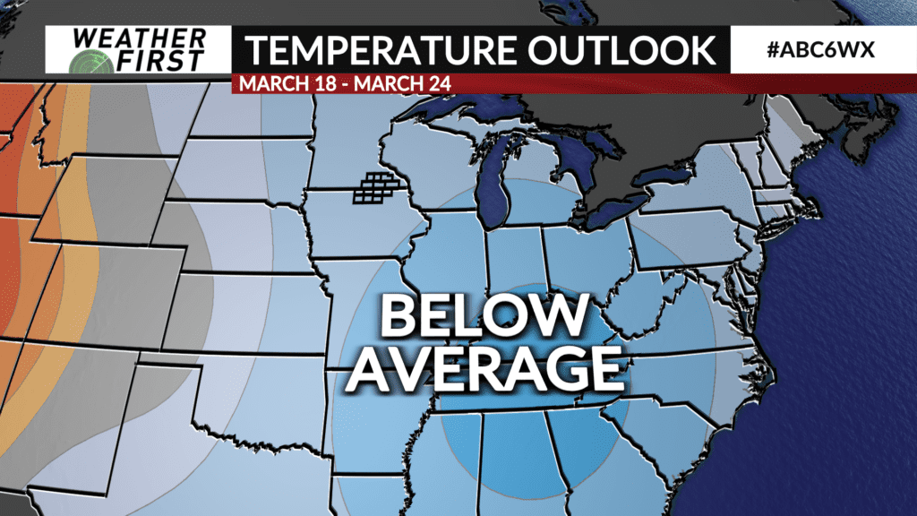
The Climate Prediction Center does highlight a probability of below average temperatures heading into the second half of March.