Cold Friday ahead with snow chance in north Iowa

Cold polar air will nudge its way into the area on Friday with temperatures falling a bit below average.
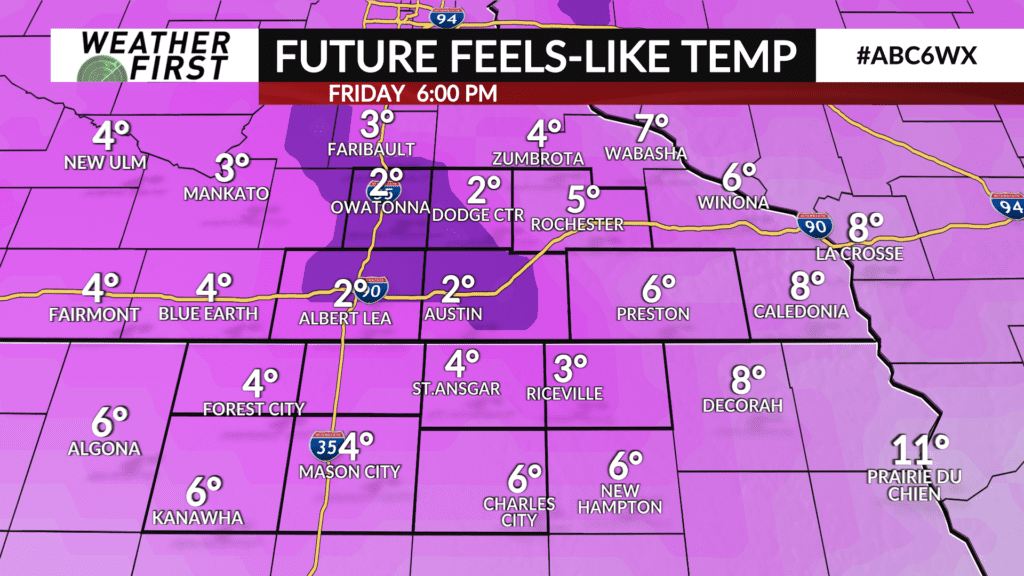
High temperatures on Friday will only manage the low-to-mid 20s thanks to high pressure settling overhead which will be responsible for bringing in the polar air.
A brisk northwest wind combined with the chilly temperatures will lead to wind chills in the single digits and teens throughout the day.
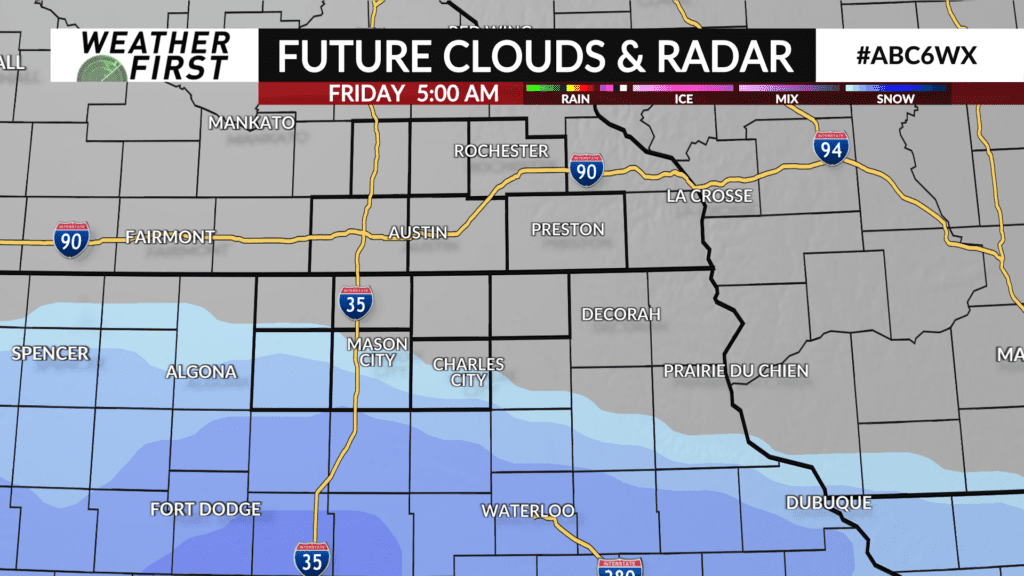
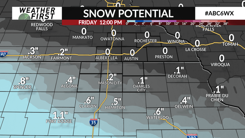
Another clipper system will track south of the area through Iowa late Thursday night into early Friday morning which may lead to some light snow across far northern Iowa with minor accumulations of around a half inch or less. Impacts are expected to be very low, if any. The bulk of any snow accumulations will generally be from northwest Iowa southeast into eastern Iowa.