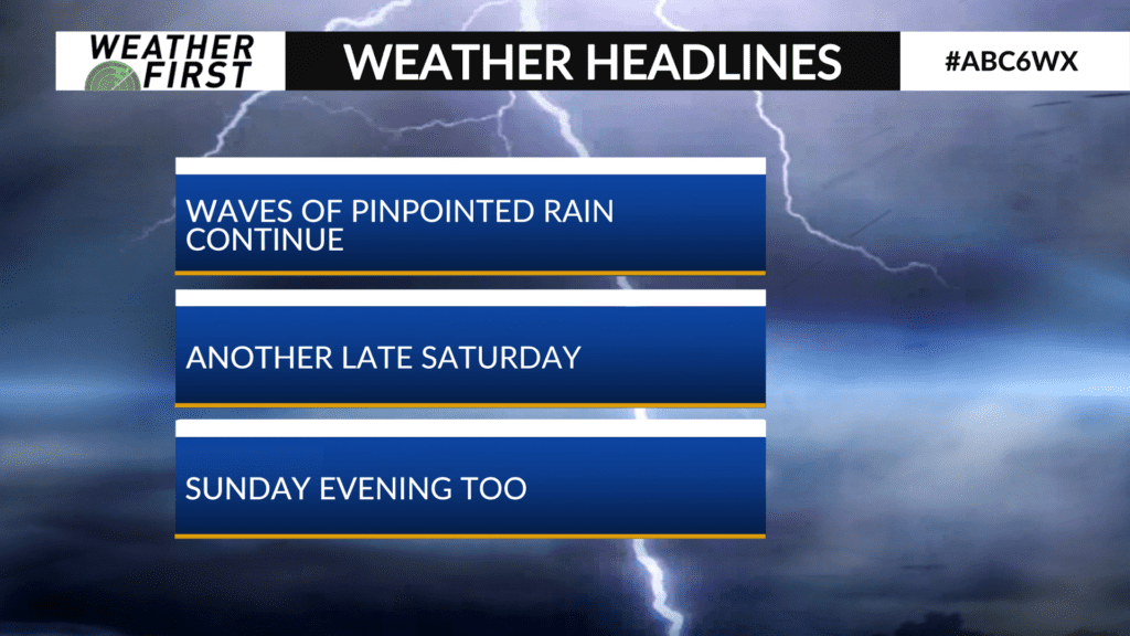
Clusters of storms over the weekend, dry time too
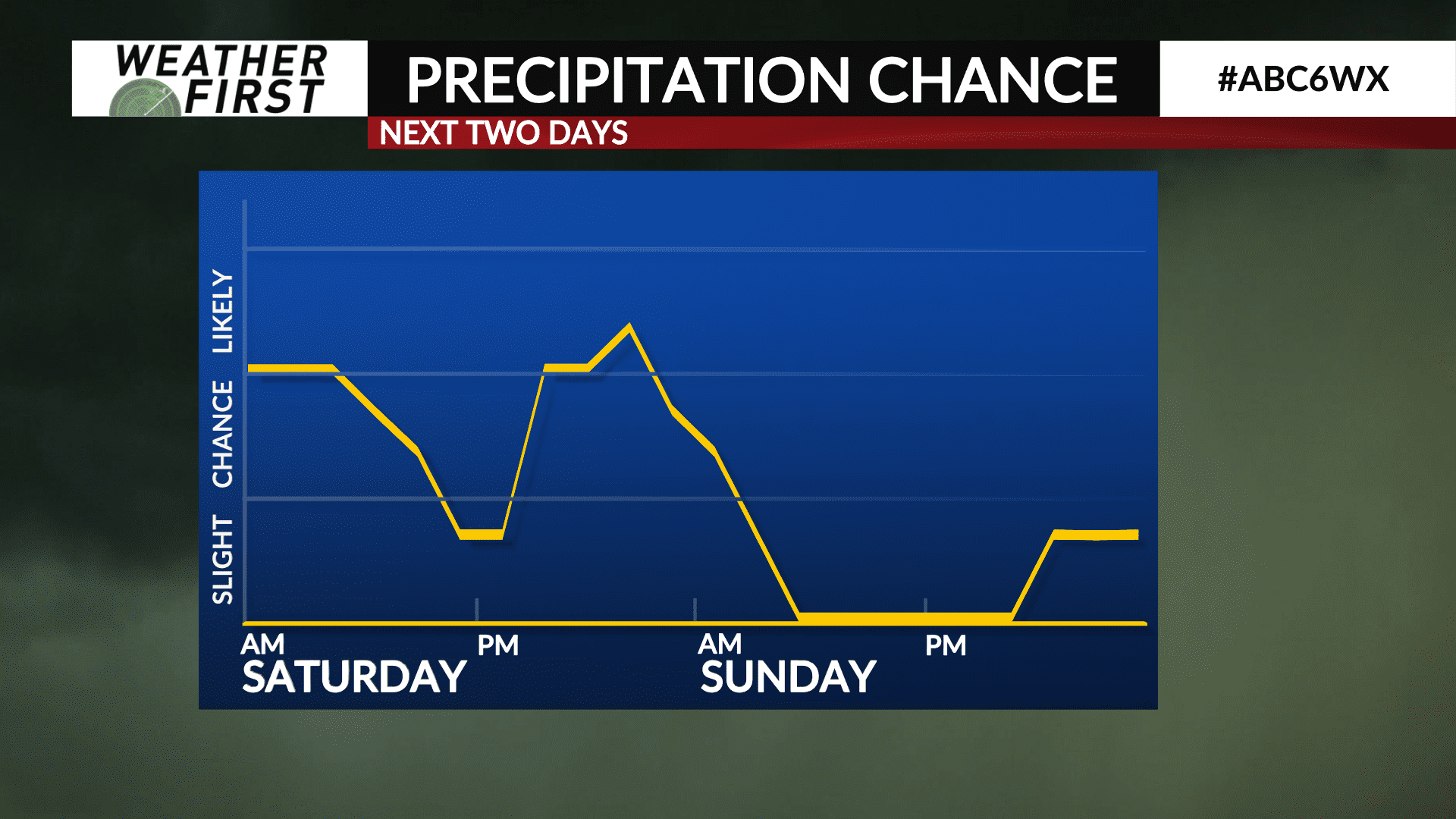
Storms are ahead for the weekend but there’s also some drier times in there too. Storms will be scattered in nature and confined to more specific windows.
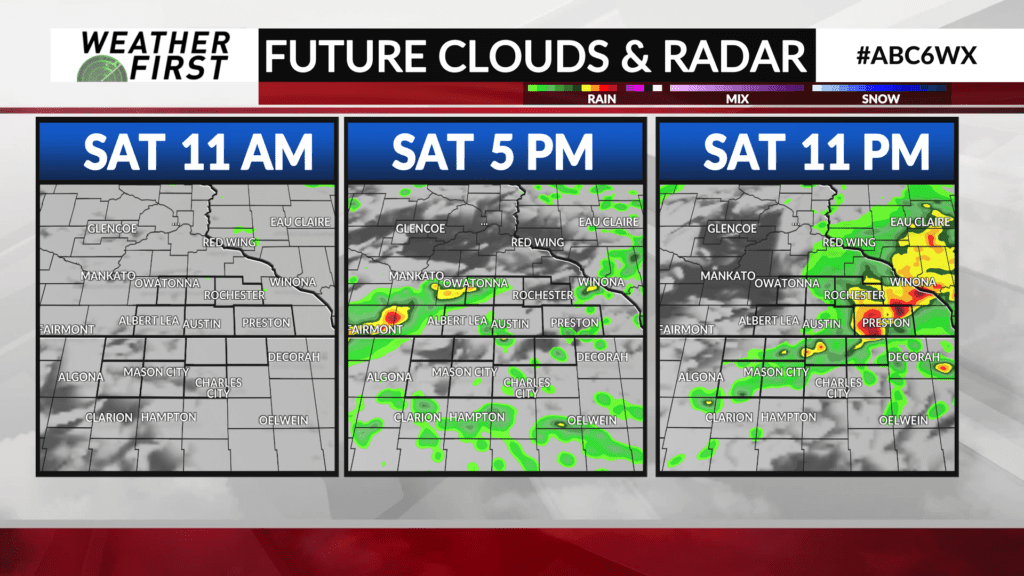
Saturday morning holds a few lingering showers but a mid-day break is expected. From mid-afternoon on into the evening we’ll bubble up another cluster of showers and storms and see them move through from southwest to northeast.
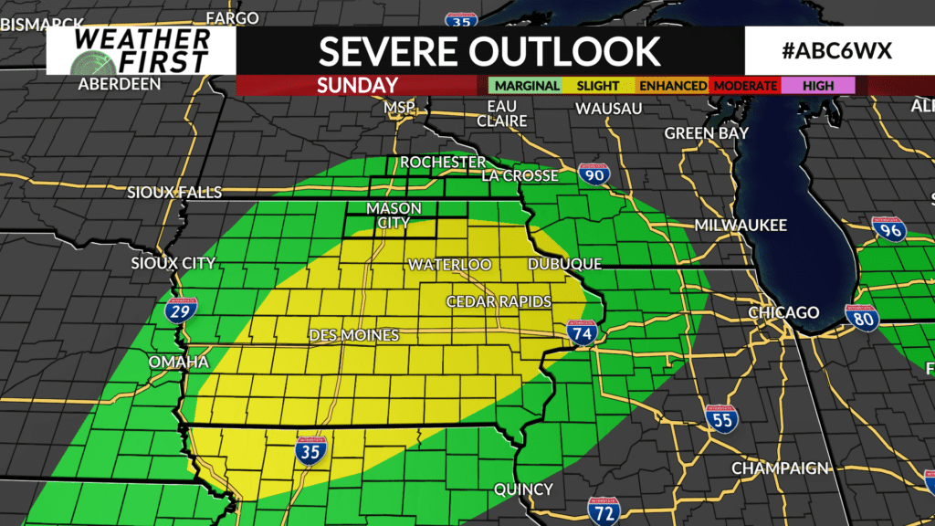
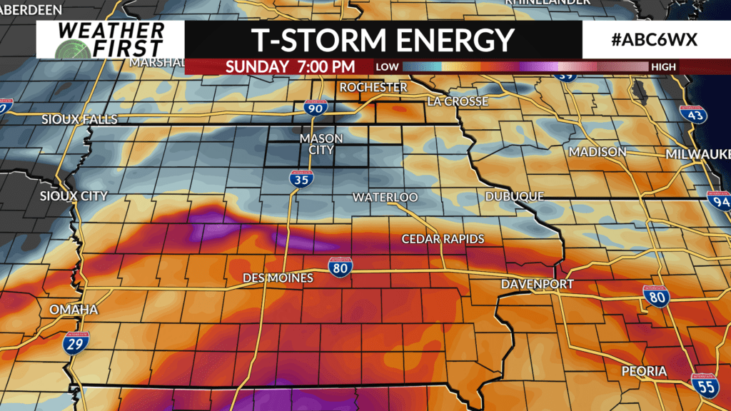
Sunday does not feature the morning activity and will have a prolonged dry stretch that extends until evening. The evening timeframe and overnight will see yet another cluster of storms develop. This time the south gets the focus with a frontal boundary at play down there. That will be where some of the ingredients are a bit more favorable for a stronger storm. We’ll track that threat into north Iowa Sunday evening. Spencer Furman will have you covered with the details on the weekend.
Rainfall totals will range widely. Those who see thunderstorms could easily pick up a couple inches, but if you miss out on the storms, totals will be significantly less.