Chilly, breezy Friday with flurries, or possible snow showers
Cold air has found its way into the ABC 6 Weather First area and it will linger through the first half of the weekend.
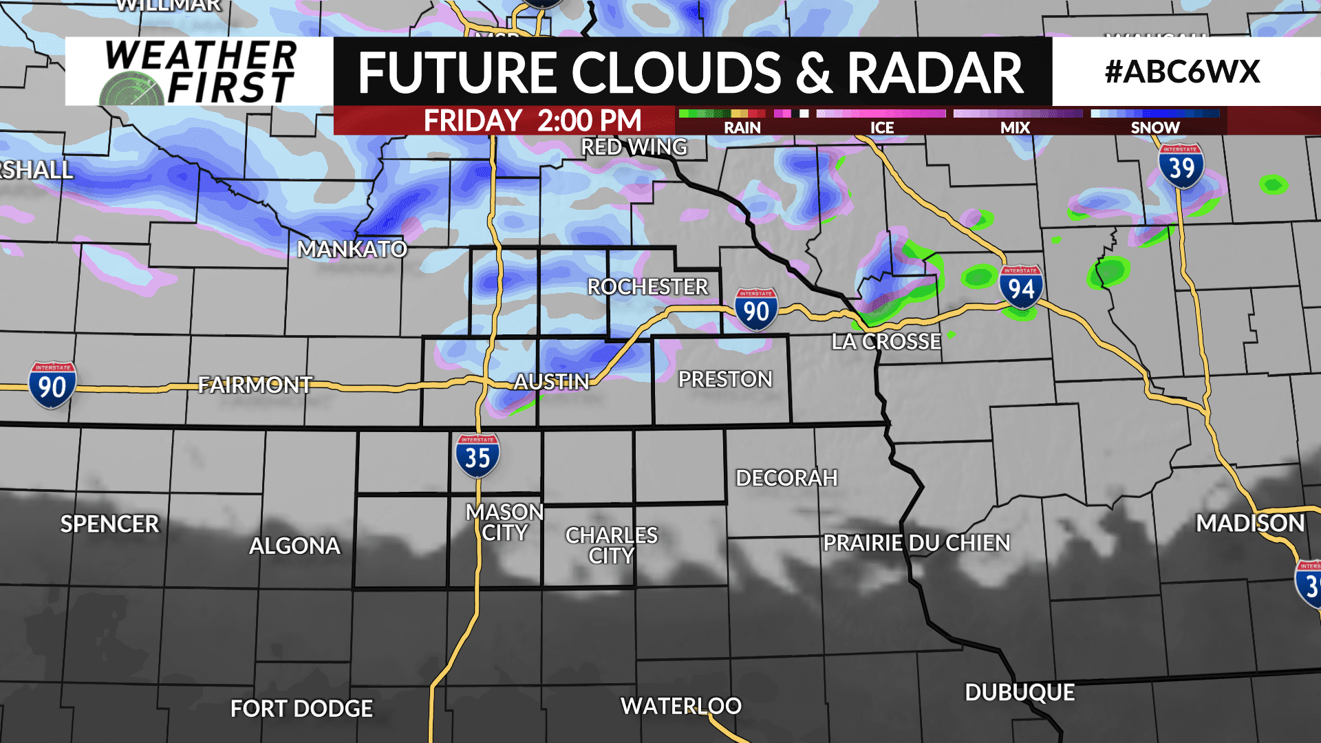
After a cold, frosty start to Friday, clouds will build through the day. A system tracking over the northern Great Lakes will send some energy southward which may be enough to produce flurries or scattered snow showers mainly near and north of I-90. There will be quite a bit of dry air to overcome so any precipitation may just evaporate before it reaches the surface, however can’t discount some snowflakes making their way to the ground entirely.
The wind will also ramp up through the day with gusts up to 35 mph or higher possible.
It’ll be a chilly day with high temperatures in the 40s for most, however north Iowa will see a bit more sunshine, therefore may see highs near or in the low 50s.
Any flurries or snow showers that do develop will end around sunset with a partly cloud sky overnight. Temperatures will fall below freezing once again with lows in the 20s to low 30s by Saturday morning so be sure to cover or bring inside any sensitive vegetation.


