Brief bout with mixture Tuesday Night
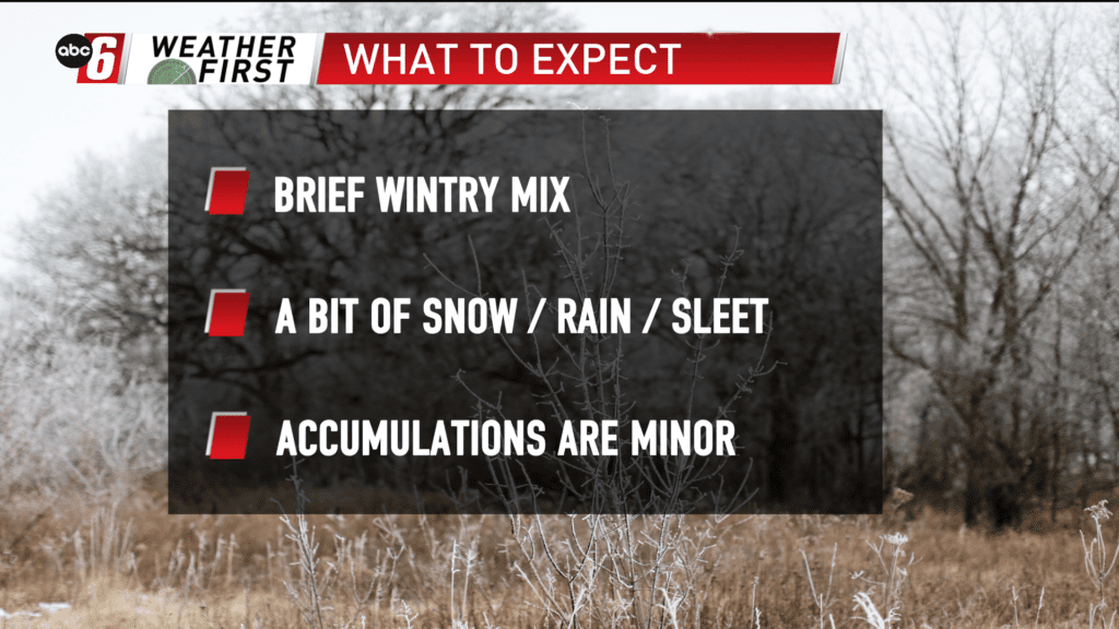
A spoke of energy quickly diving through the Midwest will be responsible for a brief bout of wintry mix Tuesday night into Wednesday morning. Amounts look to be subdued due to the quick passage and initial dry layer in the air. But eventually precip will pop through.
Look for a window of 10 PM to 5 AM the one to watch. Anything from snow to freezing rain and sleet is possible as the atmosphere should be conducive to that. However, with the limited capacity, accumulations should be minor.
Impacts are to be slim at this point. If we can get things to get going for a bit longer timeframe a bit more issue for the Wednesday morning commute is possible. At this point, I don’t see huge hindrances.