Another blast of Arctic air lingers into weekend
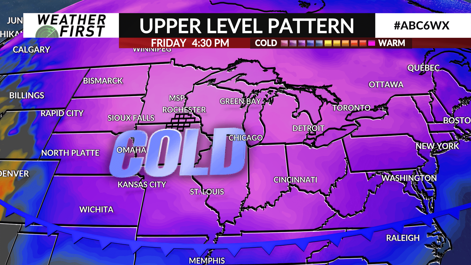
A clipper system will move through the area on Thursday bringing a round of light snow followed by another blast of Arctic air that will carry over into the weekend.
The colder air combined with a brisk wind will lead to wind chills (feels-like) to bottom out in the range of -20° to -25° for much of the area Thursday night heading into Friday morning. As a result, a WIND CHILL ADVISORY is in effect for most of southeast Minnesota and all of north Iowa from Midnight to Noon on Friday.
High temperatures will barely make it above zero on Friday with single digit highs likely again on Saturday. Night lows will generally be in the teens below zero.
The Arctic air’s stay will be brief as mild Pacific air begins to nudge in on Sunday into next week with temperatures returning to above average.


