A welcomed soggy stretch
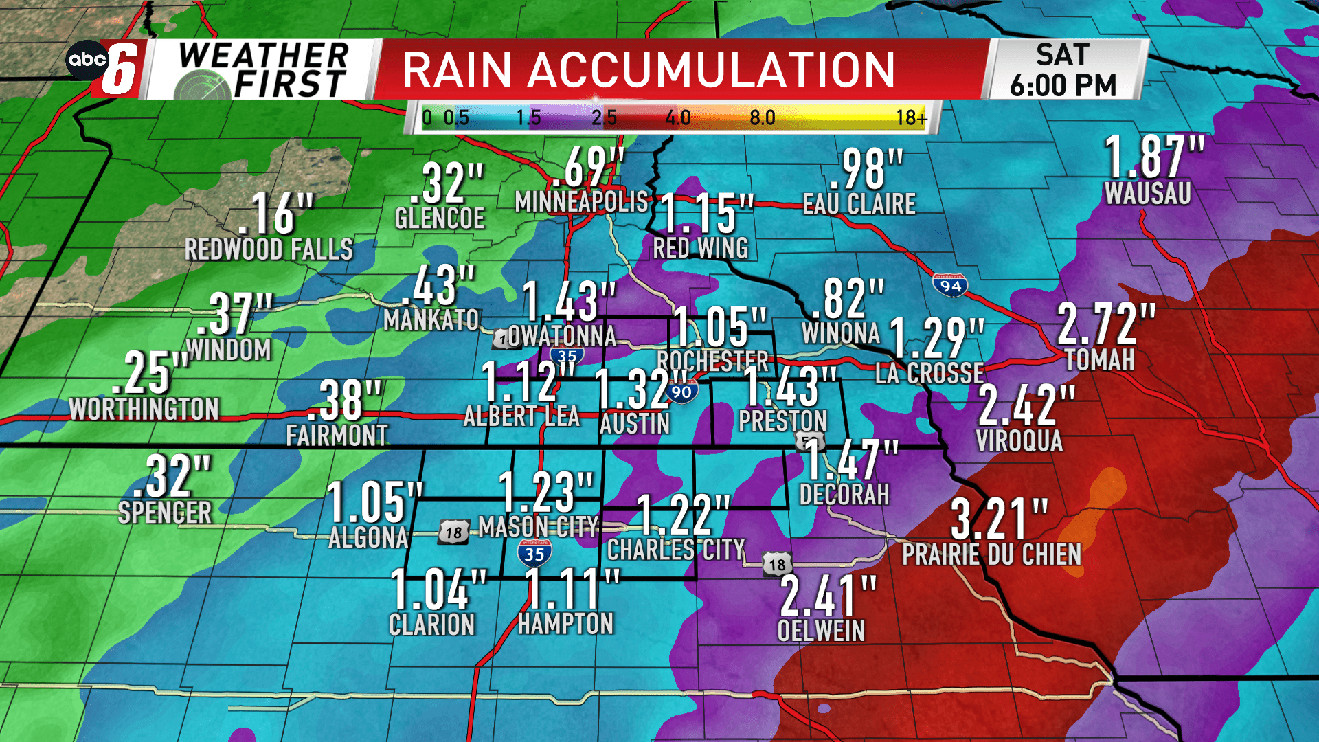
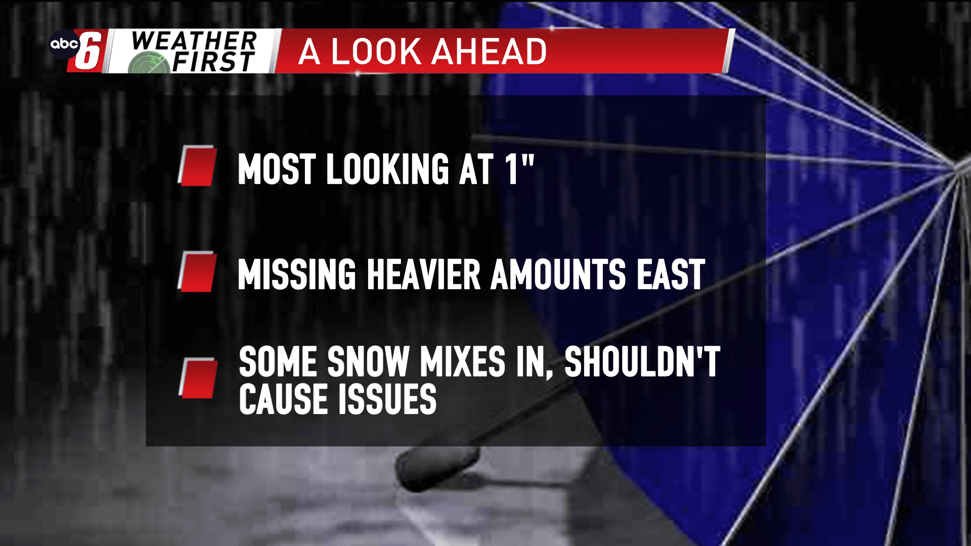
Rain is looking likely at times from tonight through Saturday. With such a dry Fall, this is a positive thing for our area. Keying in on two main windows, we’ll watch Friday morning and Saturday morning for the most widespread coverage. The second is where we’ll pick up most of our totals in the end.
The damp chill will be ever present after a cold front moves past us. A few scattered areas of showers and storms are possible Tuesday night. A widespread shield of rain will run up that front to our east for Friday morning, clipping our area. That front also stalls out over Wisconsin. This will let the totals tally up to our east much more. 2-4″ is possible in Wisconsin and eastern Iowa. For us, expectations are for around 1″ or just a little bit more.
Temperatures slowly cool into Saturday morning/mid-day. It is possible some snowflakes mix in for some grassy accumulations. With the sun-up, an early season scenario and the air temps above freezing, I don’t see this being an issue on the travel scene.