A warm front dictates what we’ll see
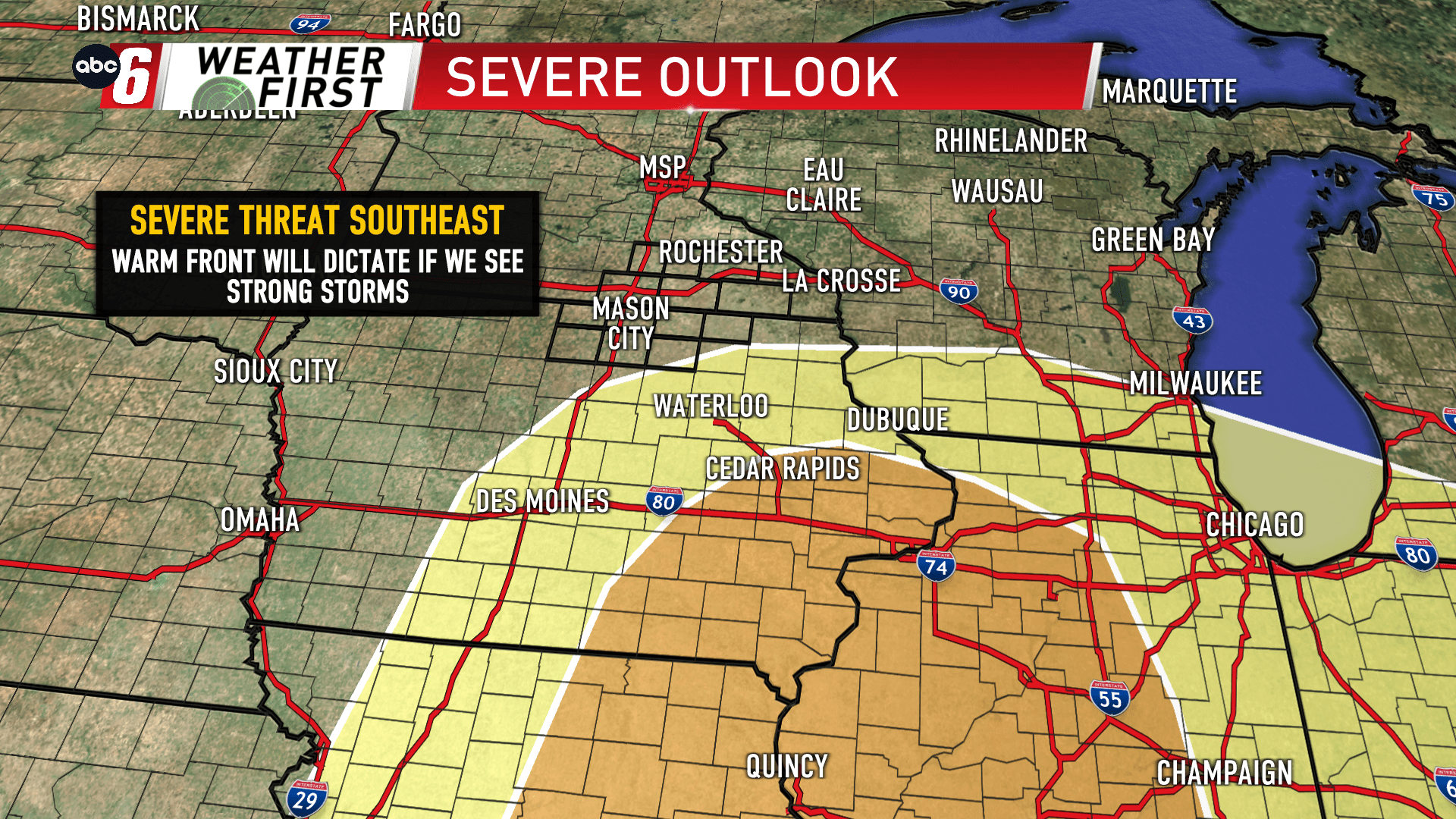
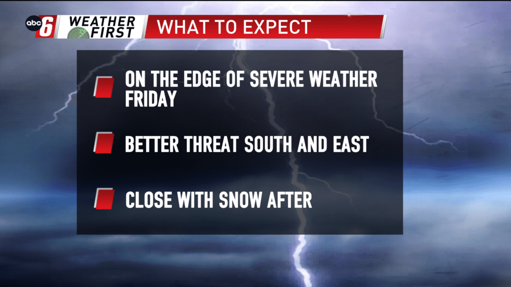
All eyes are on the end of the week. A slow moving and very dynamic storm system is on approach. For Friday, there’s a favorable setup for severe weather across the nation’s midsection. We continue to ride along the northern extent of that threat area. Our chances will surround how far north a warm front can get. That front separates 30s from 60s and 70s over a short distance and will greatly influence what falls from the sky.
If the front gets into our area, the atmosphere on the south side of the front will be ripe for thunderstorms and possess the ingredients of severe weather for Friday afternoon. Right now that target zone is more favorable southeast of us, but does nudge right up to the local area.
If that front stays south, we’ll be cooler and potentially even see accumulating snow instead of the storms! Corresponding travel impacts would be possible too.
The next 24 hours will be telling in how this one will develop with the heart of the system moving on short on the Pacific Coast. This will help get those details to come more into alignment.
For now, we’re holding off on Alert Day status. But one may be needed, in either direction this system decides to go.