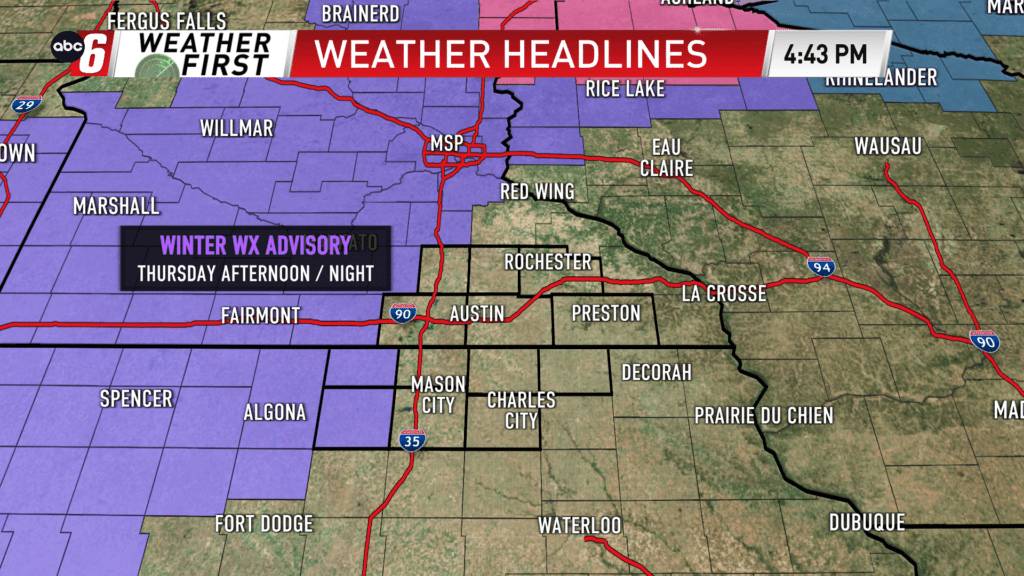
A burst of rain and snow Thursday, impacts
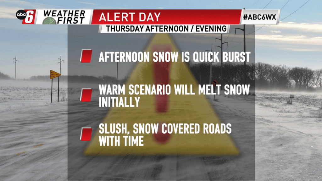
Rain starts the day and snow finishes it up. This transient band of precip will be quickly in and out but it packs a punch when it comes to intensity. That’s going to be the cause for Alert Day status when it comes to snow.
Rain begins after 9 AM and spreads east. 2-4/10″ is expected. Between 1-3 PM we’ll transition to snow. As that happens, a burst of heavy snow is expected before tapering down and wrapping up completely across our area by 9 PM. This short window will limit totals.
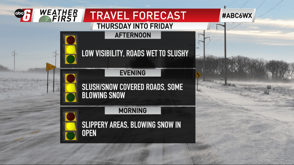
Another limiting factor will be the warm scenario. Temps will be in the 40s in the morning, although, cool towards the upper 20s by sunset. Snow will initially melt. The intensity will overtake and eventually slushy and snow covered roads are expected for the Thursday evening drive.
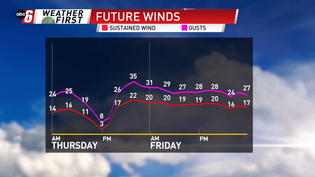
Add in the wind gusting 35-40 mph from the north and we’ll have some blowing snow in the open for those that see accumulations. While it falls, visibility will be sharply limited under the heaviest band.
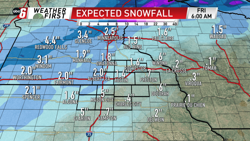
Total accumulations look to range from a dusting southeast to around 3″ on our northwest edge. Continue on and totals will ramp up to as much as 5″ in other parts of Minnesota. This range is highly dependent on the changeover time and how long we see the snow. With the going forecast, I think the sweet spot is around 1-2″ north of a line from Britt to Winona.
Blowing snow will likely continue to be an issue for those that see it on Friday and Saturday too. Snow amounts dictate just how bad it will be. For now, we’re holding off on Alert Days due to the expected lower end snow.