Warmer and active weather period ahead
The storm that has gripped the area since Monday will finally exit the area on Wednesday with dry weather arriving on Thursday and lasting through Saturday along with moderating temperatures.
A few weather systems look to cross the area beginning on Sunday and lasting through the middle of next week leading to daily chances for precipitation. There are still a lot of uncertainty on the track of each, so details will be fined tuned over the next several days.
Temperatures will also climb into the 50s and 60s heading into next week so the precipitation type with each of these systems will be rain.
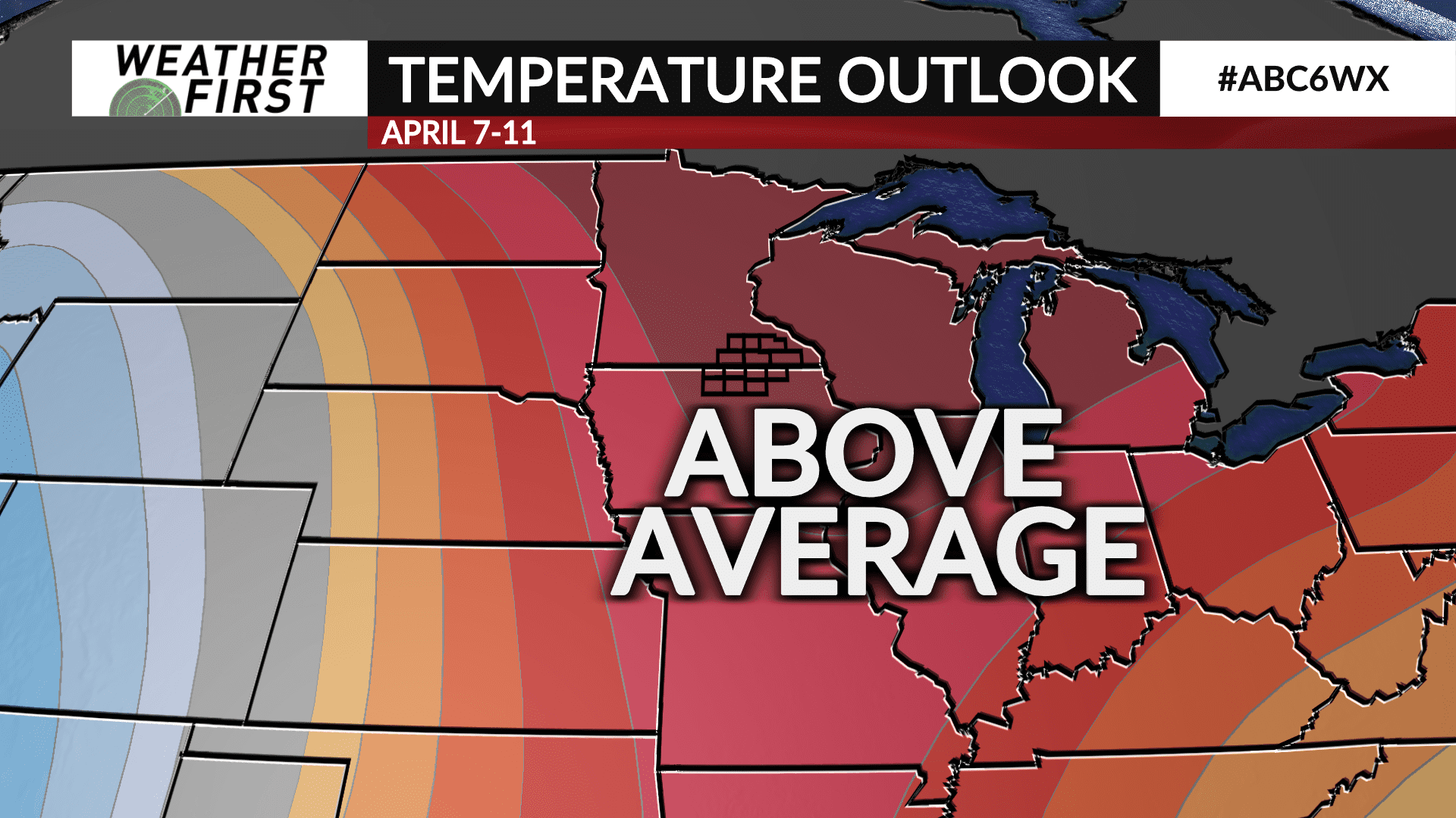
The Climate Prediction Center has a high probability of above average temperatures as well as precipitation for the Weather First area in the 6 to 10 day period of April 7-11.

