Tracking Tuesday Night’s T-Storms
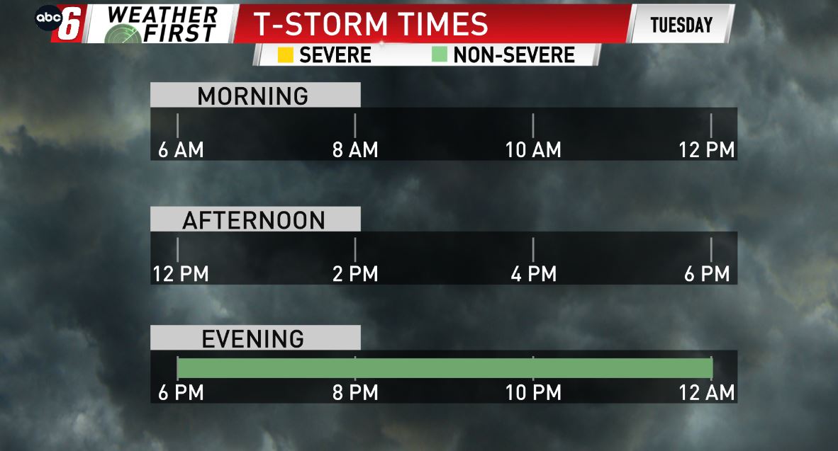


The warm front will be through during the day, creating instability overhead in our atmosphere. This, along with a potent cold front, will be enough to trigger a few late-evening storms throughout the area. Timing it out, 7 PM & later favors our storm potential locally, with a few strong storms possible. Heavy rain, strong wind, & a little hail will be possible with the stronger storms, however widespread severe weather is not expected. Scattered showers linger throughout Wednesday, wrapping up by the evening hours. A new quarter to a half of an inch of rain is possible.