Spotty storms lead off on/off rain
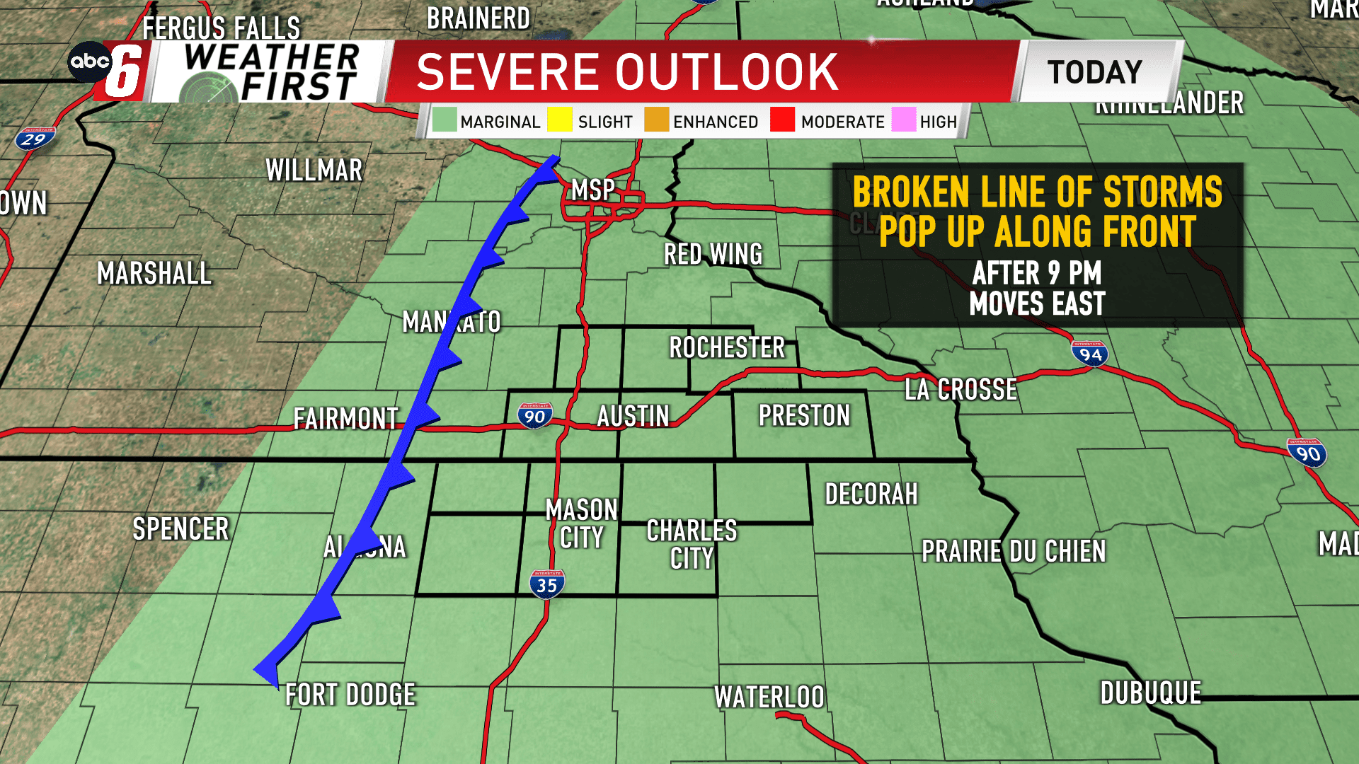
A broken line of storms is expected to develop along a cold front advancing from the west. This activity arrives locally after 9 PM and exits by about 2 AM. Some miss the this activity but with the storms that do get going, the late season scenario will be more favorable to see some small hail form and the already gusty wind will be more easily enhanced. It’s not a widespread severe weather scenario but there is something worth watching.
At this point, I’m not seeing a widespread coverage with the early evening activity. A secondary line of showers will provide better spatial coverage across our area in the few hours leading up to sunrise on Wednesday morning, but by then, the storm threat is long gone.
