Saturday trending dry, more showers and thunderstorms arrive Sunday
The active weather will continue especially for the second half of the weekend with Saturday trending dry while another round of showers and thunderstorms arrives on Saturday night through Sunday.
Showers and thunderstorms from Friday will come to end overnight into Saturday and should be out of the area by daybreak.
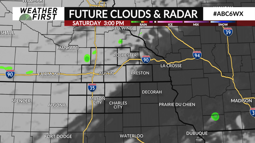
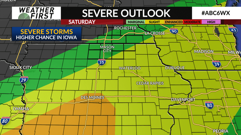
Some breaks in the clouds are possible on Saturday along with mild temperatures climbing into the mid-to-upper 60s. A front laid out from southwest-to-northeast across Iowa, just south of the local area, will be the focal point for additional shower and thunderstorm development Saturday afternoon and evening. Some of those may be strong-to-severe. It’s possible one or two may sneak into northern Iowa, but widespread severe weather is not expected. The highest severe threat is further south into Iowa.
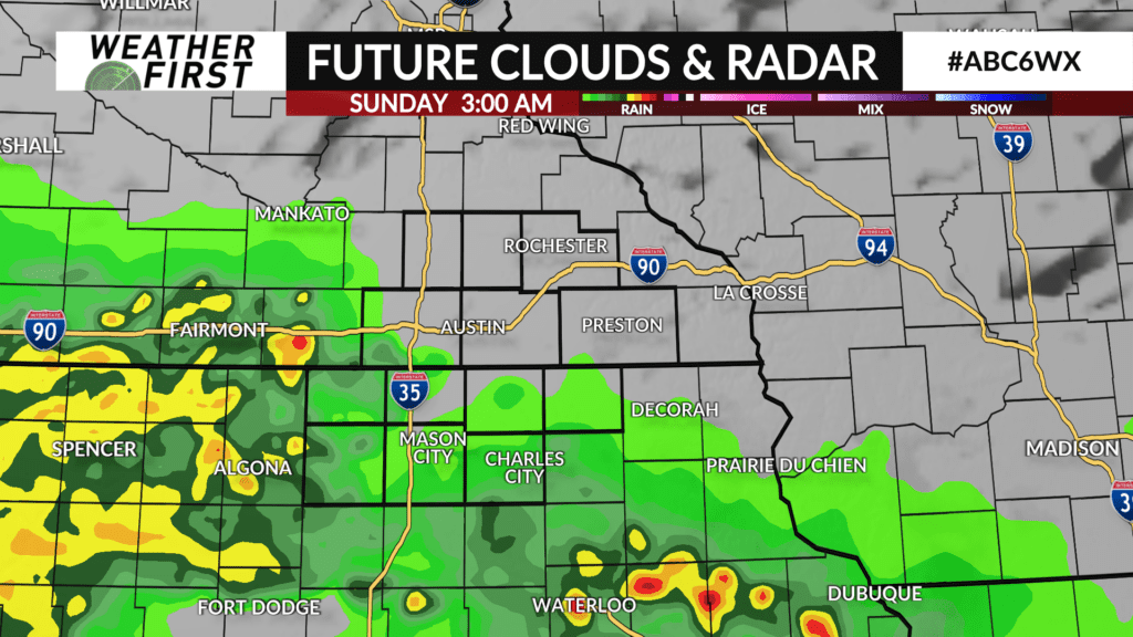
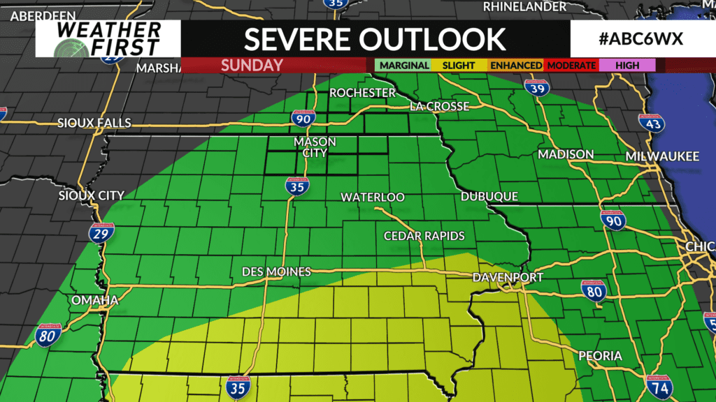
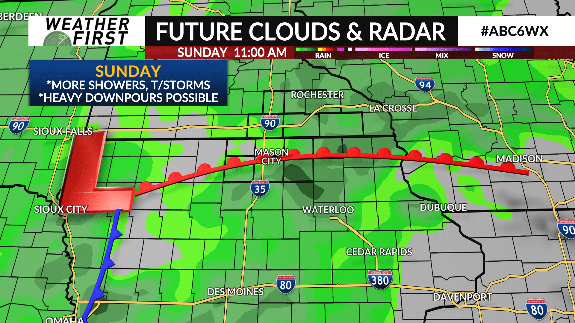
Another wave arrives late Saturday night overspreading the area on Sunday with occasional showers and thunderstorms likely along with some heavy rainfall. Any rain will come to end overnight Sunday into Monday morning. While a strong storm is possible, the higher chances are further south of the local area in Iowa.
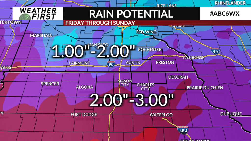
The multiple rounds of rain from Friday though Sunday will likely lead to 1-3″ of rainfall area wide with the highest amounts, 2-3″ likely to fall across Iowa and portions of far southeast Minnesota.