Rainy, blustery end to the week
The first half of the week will be dry and pleasantly cool, however a significant storm system will bring a prolonged period of rain and gusty winds.
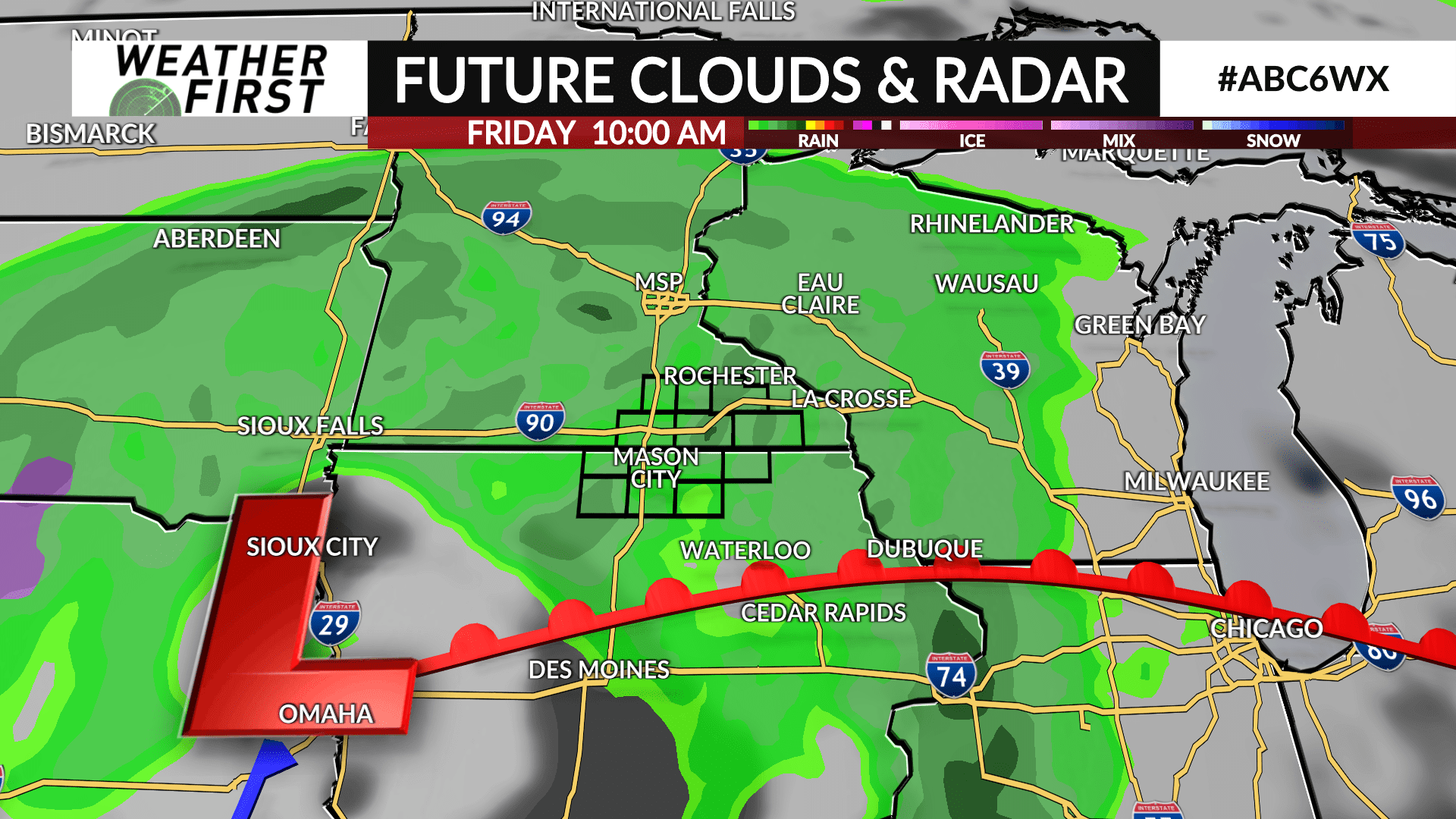
A storm system will develop over the plains by midweek and start to slide east through Iowa beginning on Thursday.
The storm will pull up Gulf of Mexico moisture from the south as rain develops sometime Thursday afternoon. The storm will continue to slowly track east through Iowa with moderate to at times heavy rain continuing throughout the day Friday and into Saturday morning before ending as the storm shifts further east into the southern Great Lakes area.
Winds will also be blustery with gusts of 30-40+ mph possible from Thursday afternoon into Friday. Gusty winds are also expected on Saturday as the storm pulls away and high pressure builds on its backside.
Rainfall amounts are still up in the air as the track of the storm still needs to be nailed down, however some places may get 1-2″ of rainfall. The finer details will be ironed out as it gets closer.
Clouds and rain will keep high temperatures in the 40s and 50s Thursday through Saturday.

