Rain to snow Thursday, impacts later in the day
Details continue to stray across the range of what to expect but what we can say about our upcoming system on Thursday into Thursday night is that we will see some rain turning to snow and a strong wind through the timeframe.
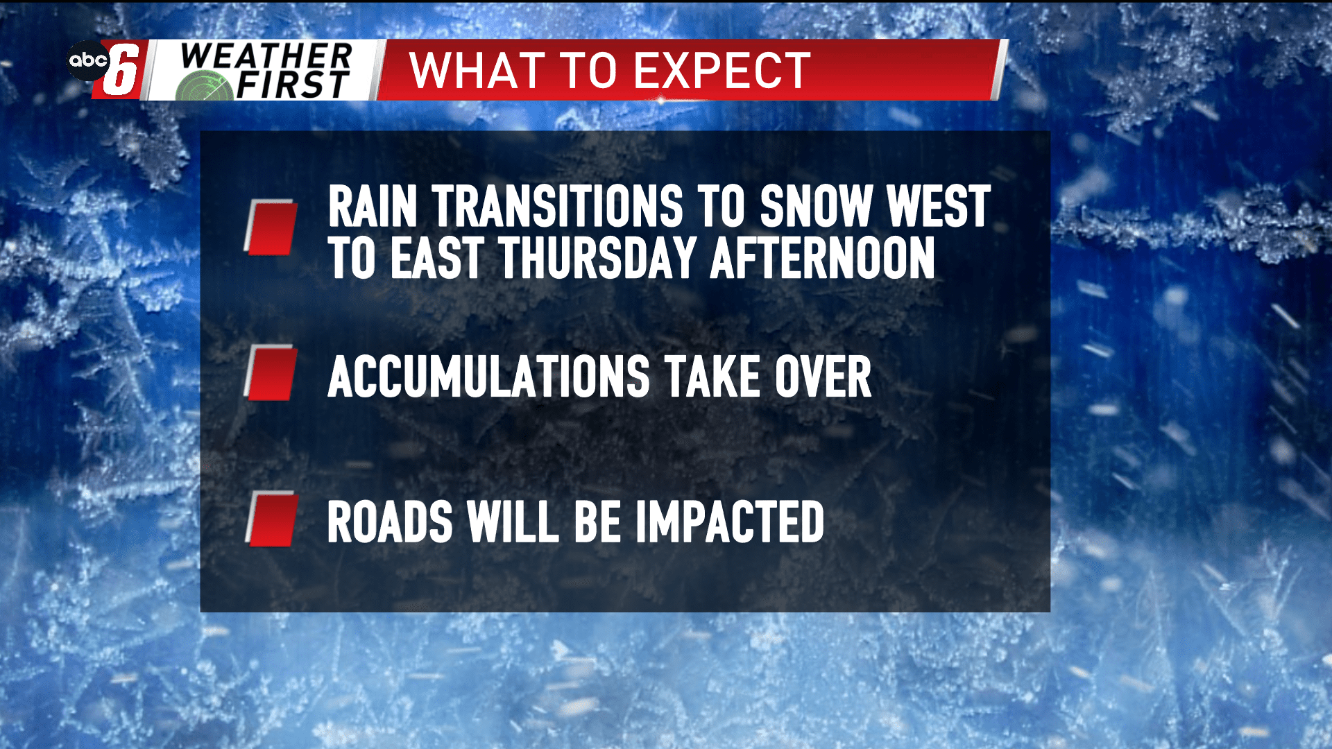
The changeover time continues to play a critical role on how much snow we’ll see. The changeover window be in the afternoon. After around 1/4″ of rain, that snow charges in, heavy as it does take over. Initial expectation is for at least a few inches. Given the intensity, the wet roads in a overall warm scenario will be quickly overcome. For the evening drive, slushy and snow covered roads can be expected.
A wind out of the south with gusts to 25-35 mph will change directions to the north and west gusting around 35+ mph. With that in mind, wind blown effects of snow are expected too. Visibility drops while the snow falls will be a concern. Blowing and drifting snow in the open is a possibility too.
Temperatures will be dropping sharply through Thursday afternoon, from the 40s back into the 30s and upper 20s later into the evening.
With the variability of the expected snow range, we’re holding off on an Alert Day for now, but it is certainly possible one comes up.

