Multiple rounds of rain through the weekend
While the weekend won’t be a total washout, multiple rounds of showers and thunderstorms will be likely with the second half of the weekend more favored.
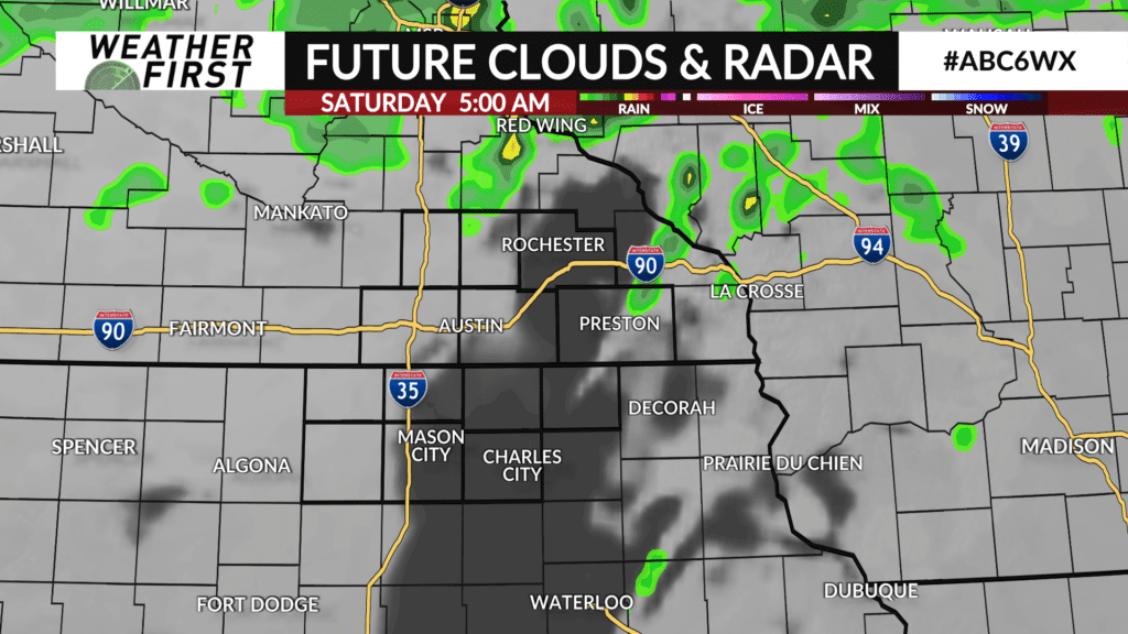
Showers and a few thunderstorms will linger into early Saturday morning with most of the day staying dry under a partly sunny sky. High temperatures will be warm in the 60s to low 70s.
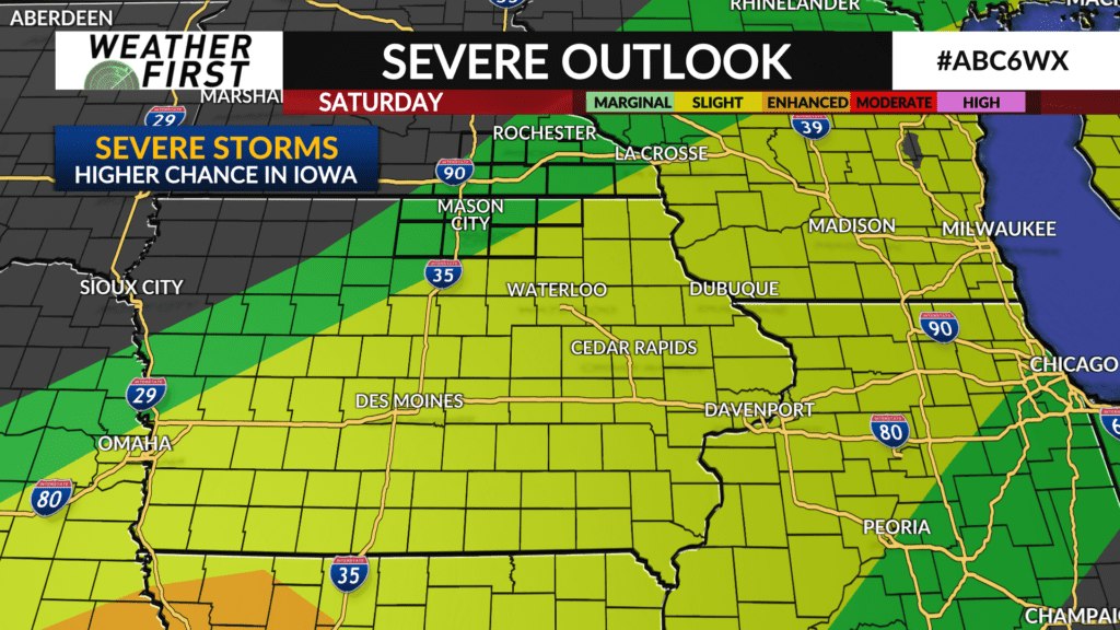
A frontal boundary will layout from southwest-to-northeast across central Iowa to northeast Iowa into far southeast Minnesota and possibly up to I-90. That will be the likely focal point for shower and thunderstorm development Saturday afternoon and evening and where the severe weather threat will be focused.
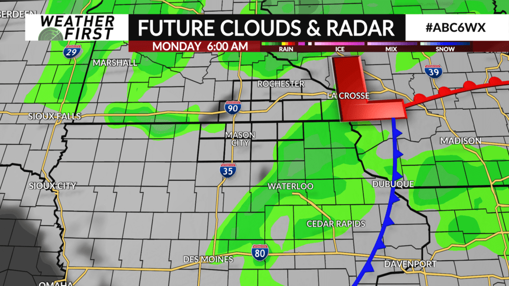
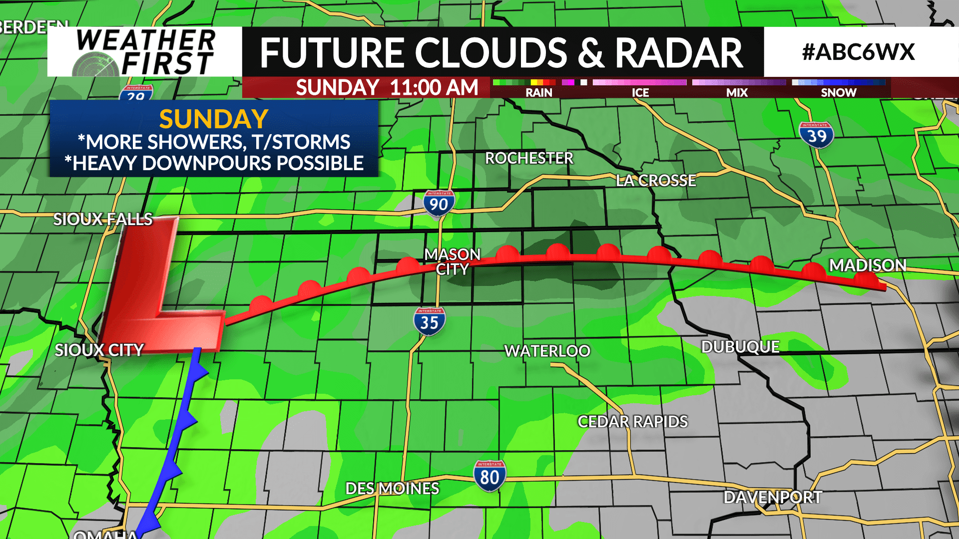
Another round of showers and thunderstorms arrives late Saturday night with occasional showers and thunderstorms and heavy downpours likely throughout Sunday and Sunday night before wrapping up early Monday morning.
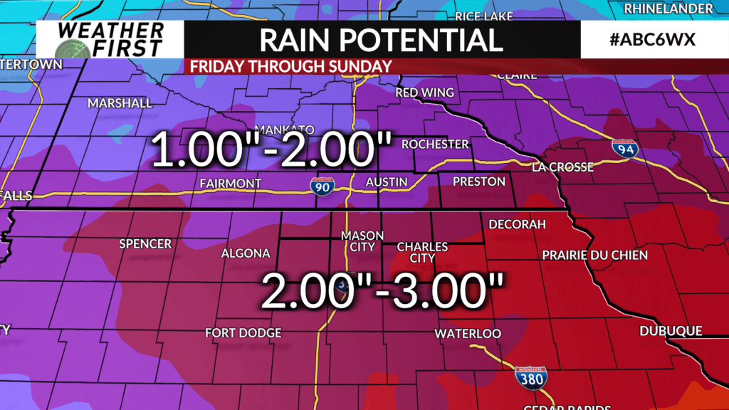
Considering multiple rounds of rain along with high moisture content in place, heavy rainfall of 1-3″ is likely area wide with the higher end amounts of 2-3″ likely across Iowa.