Monday Mix
While Easter Sunday is trending gloomy, most of the precipitation (both rain and snow) is more likely to hold off until Monday.
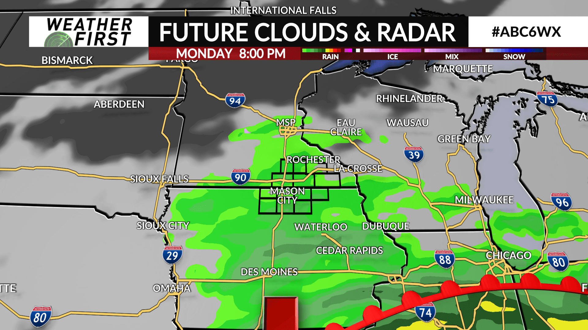
Earlier in the day, some snow will be possible with temperatures at the surface just above the freezing point. As we warm up, snow will become less likely to take place, and we will move onto predominantly rain. The one unknown remains how much snow we would get. Although, temperatures near the surface will make it hard for snow to accumulate. In addition, we are not expecting nearly the accumulations or impacts of last week.
Rainfall totals will depend on how much the snow plays a factor. Snowfall would be mostly limited to northern Iowa. We are expecting less than 1/2″ of rain for most of the area for now, but there is potential for higher.

