Late week storm to bring heavy rain, gusty winds
After a stretch of comfortably cool October weather, a strong storm system has its eye on the area which will lead to heavy rain potential, gusty winds, and much cooler temperatures to close out the week.
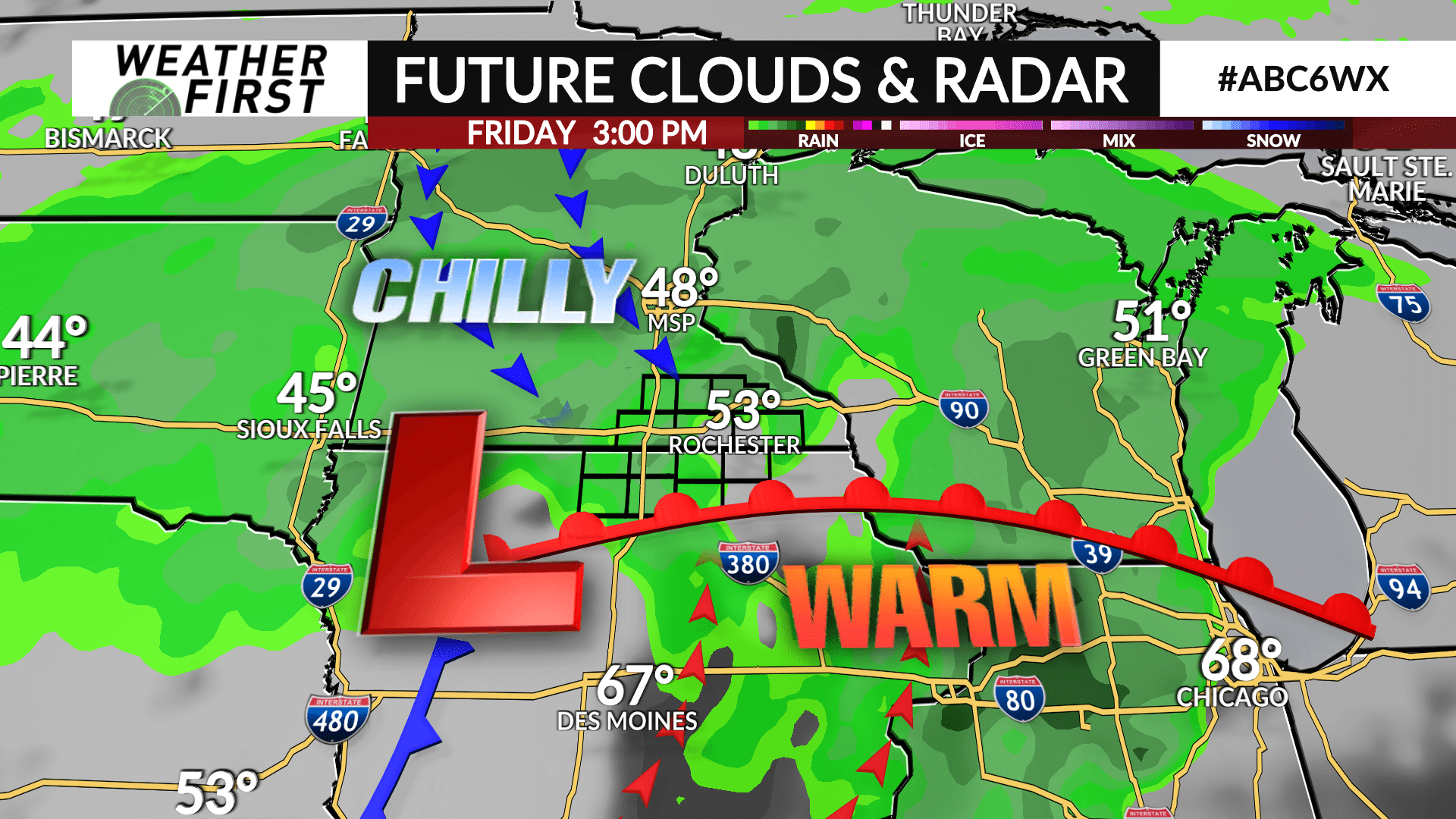
The storm will swing into Iowa on Thursday afternoon with rain developing. The rain will become moderate-to-heavy at times Thursday through Friday night. As of now, trends are that 1-3″ of rain will be possible across much of the area which will be beneficial for ongoing drought conditions.
The other impact will be the strong winds which will ramp up Thursday afternoon with gusts of 35-45 mph possible into Friday.
Temperatures are expected to be in the 40s and 50s Thursday and Friday. However, a warm front associated with the storm could bring our local counties in northern Iowa into play for warmer temperatures in the 60s and the threat for thunderstorms including a low-end severe threat. All of which remains to be seen on where the storm tracks, but something to keep updated on.
Rain will gradually taper off into Saturday morning, however winds will remain gusty with 30-35 mph gusts possible and high temperatures in the low 50s.

