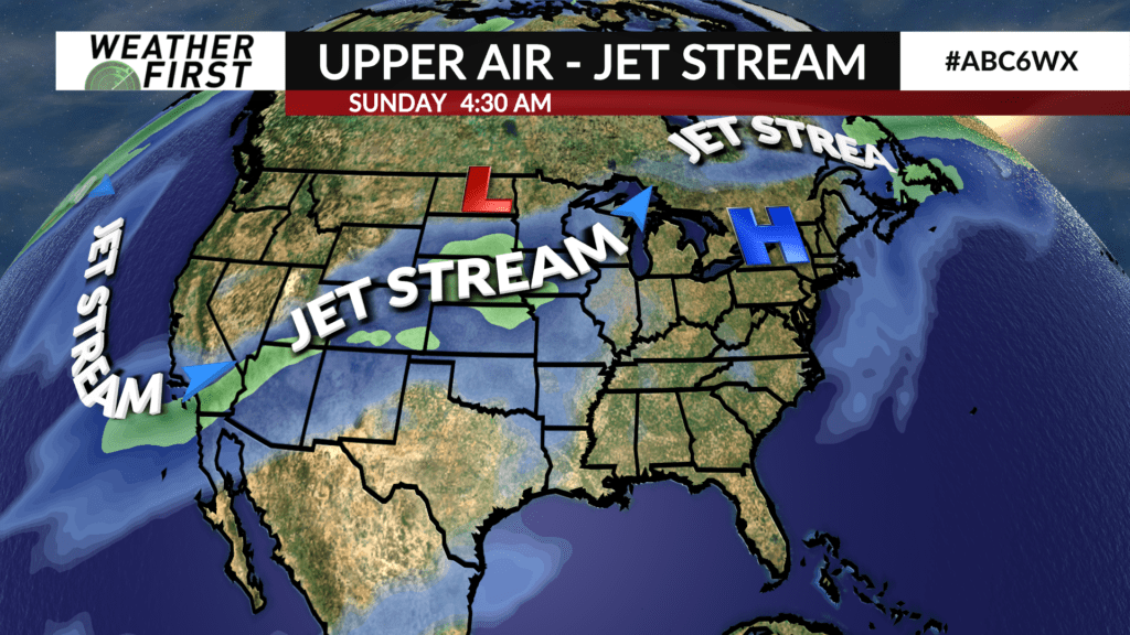
A shift in the pattern this weekend
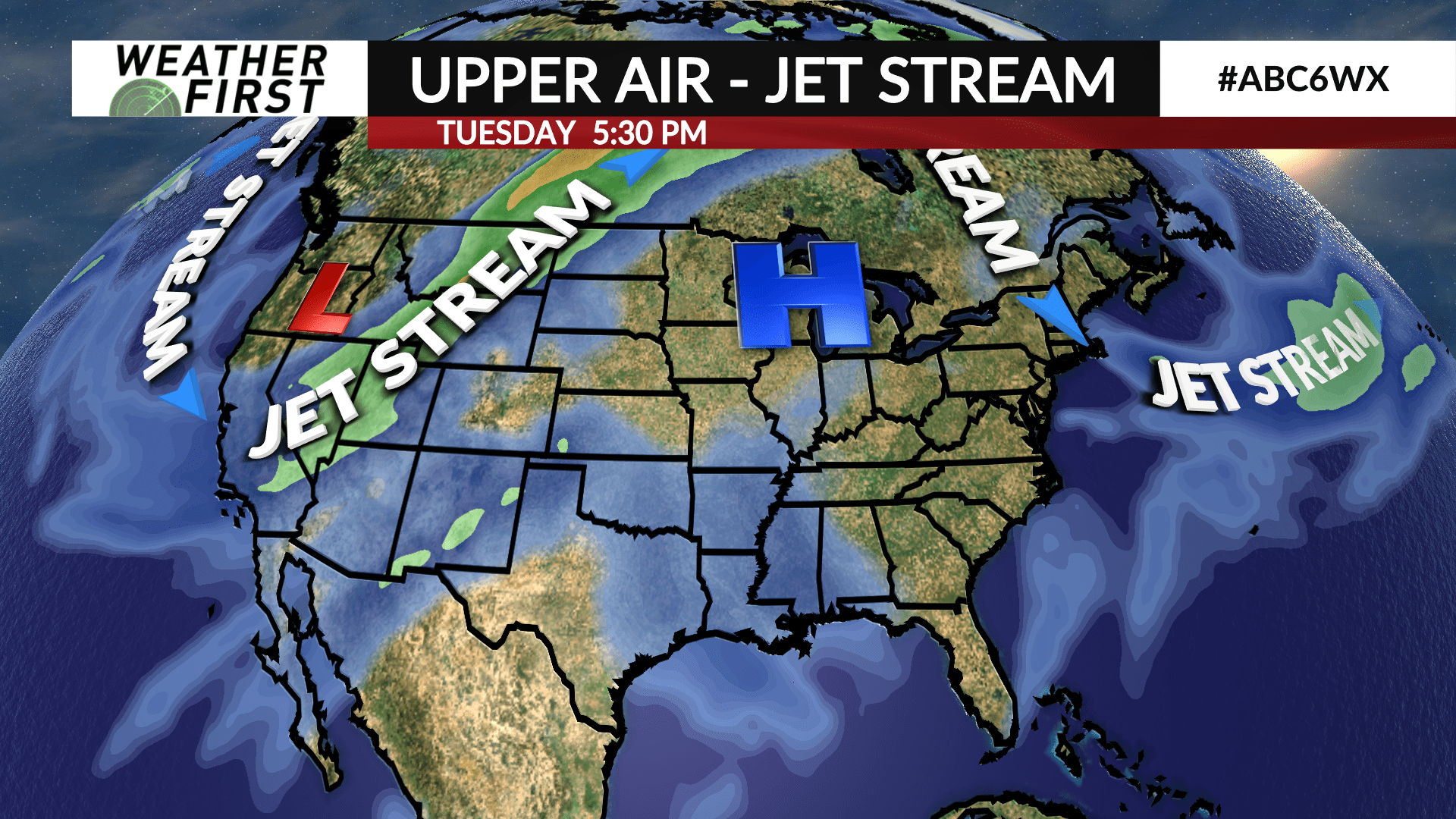
It’s a bit far out at this point, but close enough to feel some optimism. It’s looking like we’ll finally see the weather pattern shift in a few days as the ridge of high pressure holding tight on top of us starts to break down. What does this mean? An area of low pressure riding the jet stream from the west coast to the Upper Midwest will get a round of thunderstorms going this weekend. Exactly where and when those storms occur isn’t possible to pin down right now, but it’s close enough for us to keep a close eye on, especially in hopes of some good rainfall.