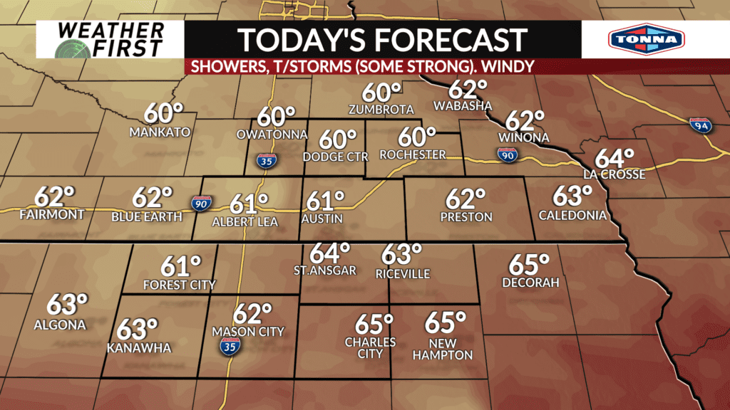
Severe thunderstorms possible Tuesday
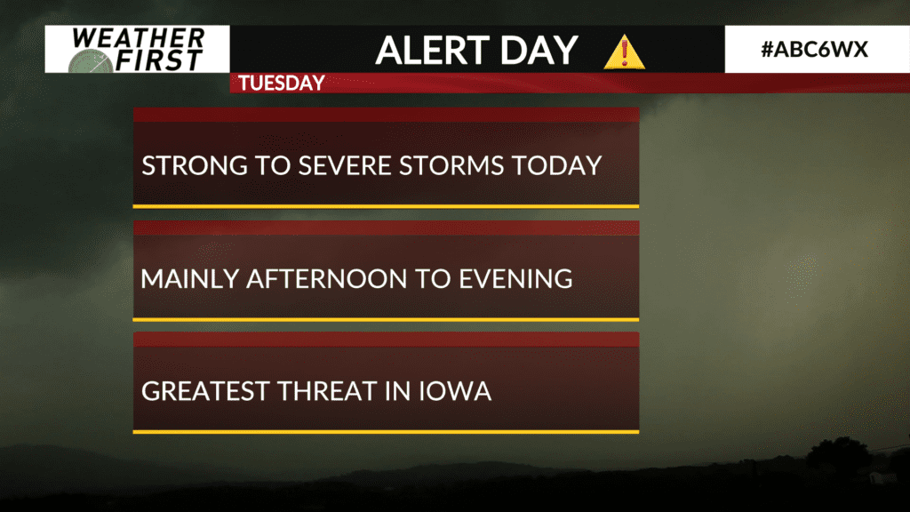
A strong dynamic storm system will track across the area on Tuesday leading to the potential of strong to severe thunderstorms.
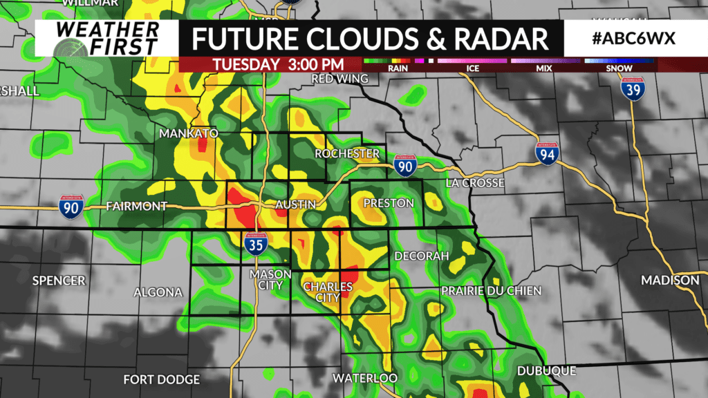
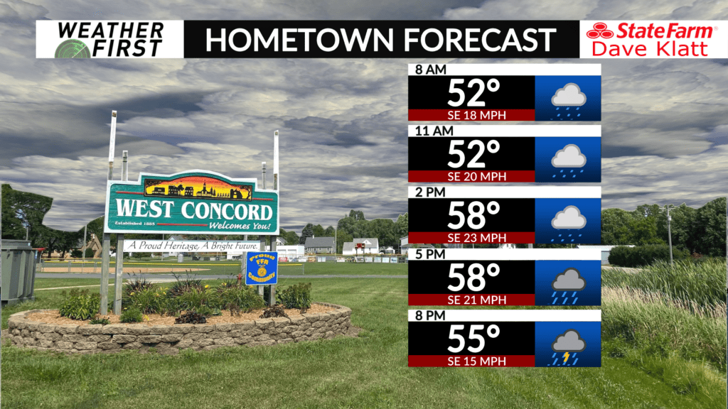
A round of showers and embedded thunderstorms is likely during the morning hours with a lull by late morning into the early afternoon before a second, more potent round, arrives during the afternoon and evening. The timeframe will generally be around 2:00 PM to 8:00 PM.
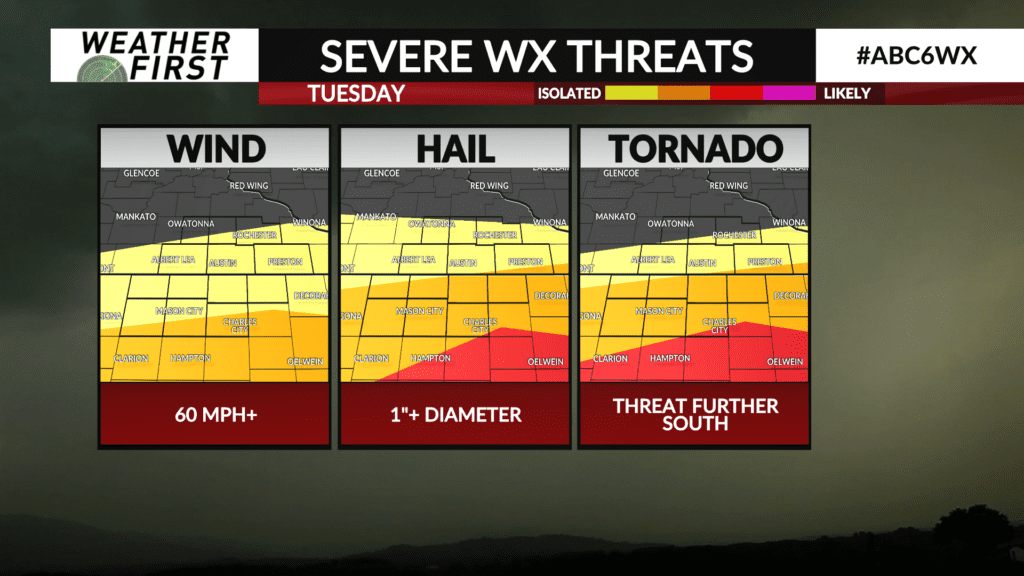
Large hail is the main threat, however some tornadoes can’t be ruled out. The tornado threat will be tied to where a warm front lays out which may be near or south of the Minnesota and Iowa state line.
Locally heavy downpours and strong winds are also possible in any stronger thunderstorm.
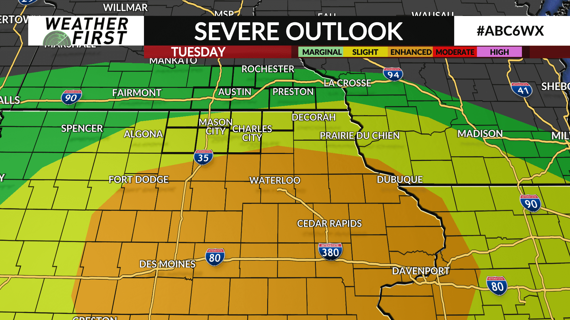
There is a level 2 out of 5 risk across north Iowa and far southeast Minnesota with a level 3 risk further into central and eastern Iowa.
The severe weather threat will wind down by mid evening with lingering showers and a few thunderstorms possible through the night.