Alert Day for late week winter storm
A large scale storm system is still on track for southern Minnesota and northern Iowa Thursday night into Friday. Details continue to emerge and they continue to pinpoint our area being the focal point for taking the brunt of snowfall with this one.
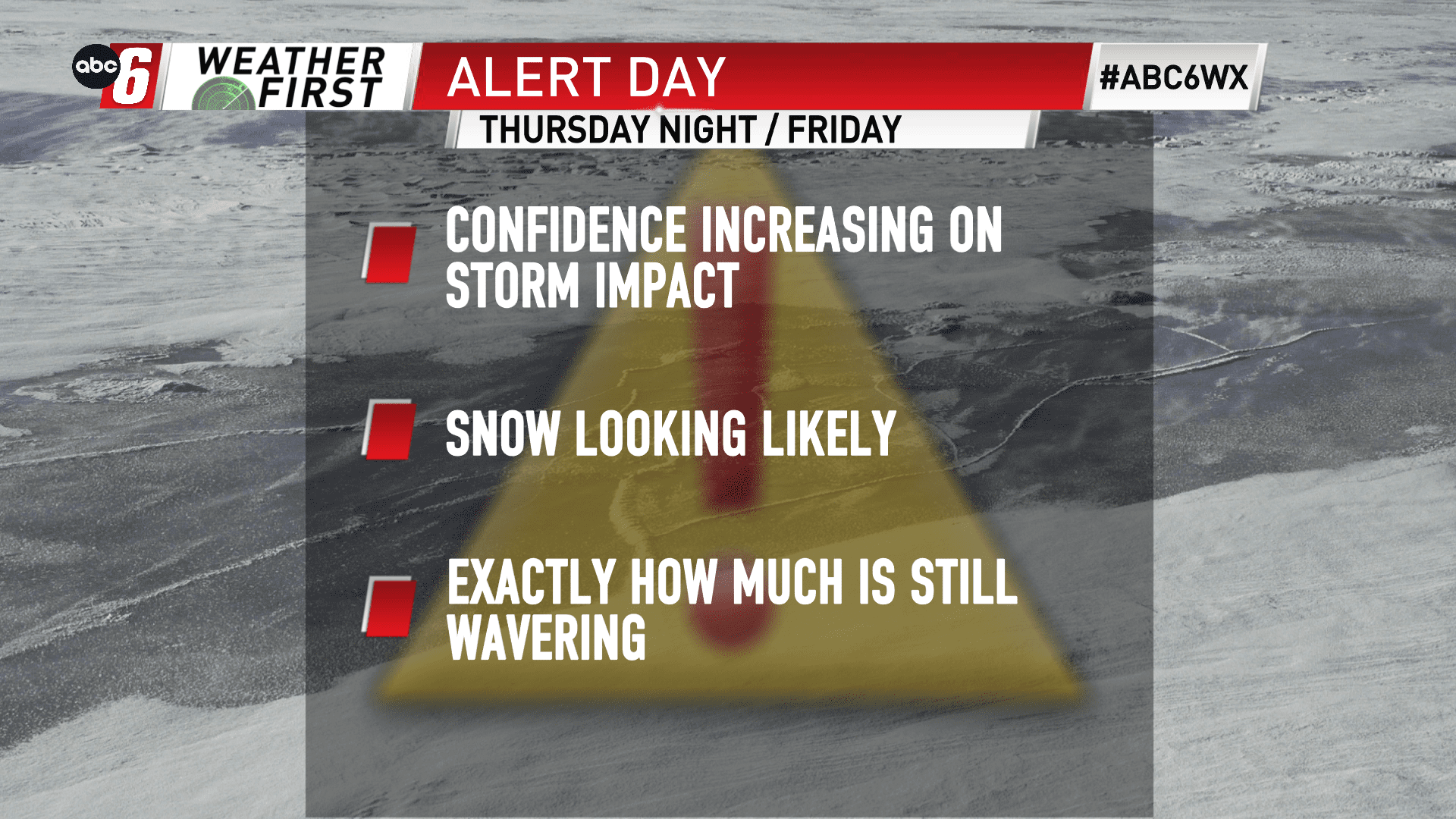
Exact amounts and where are still in question, but confidence is increasing that our area will see plow-able amounts of snow. The mechanisms causing the snow appear to be strong so there is certainly potential for some higher end marks due to heavy snowfall rates. But placing these mechanisms, we’re still finding some inconsistencies. So, while higher end snow totals are out there, possibly as high as 8″+, it is extremely low confidence that any one area sees that much at this point. You can see these spatial differences in the snow ensemble below.
There’s also a rain/mix component to consider. There is one outlier computer model that is spitting a very warm scenario at us. Given we’re headed into this one at the tail end of a quiet day, I do see a bit of a warm component at play but we’re right at that threshold. I’ll keep a period of wintry mix/freezing rain possible early on, but this one looks like snow is the primary factor.
We’ll continue to dial in the forecast for you with greater detail in the next 24 hours.
Timing to watch will be from around sunset Thursday to just after sunrise on Friday. Travel delays may extend a bit further into the day. We’re giving the timeframe an Alert Day status due to the impacts expected.