Warmth, humidity to build with late Wednesday night thunderstorms possible
Summertime warmth and humidity will build into the area toward the week’s second half along with the chance of showers and thunderstorms late Wednesday into Thursday.
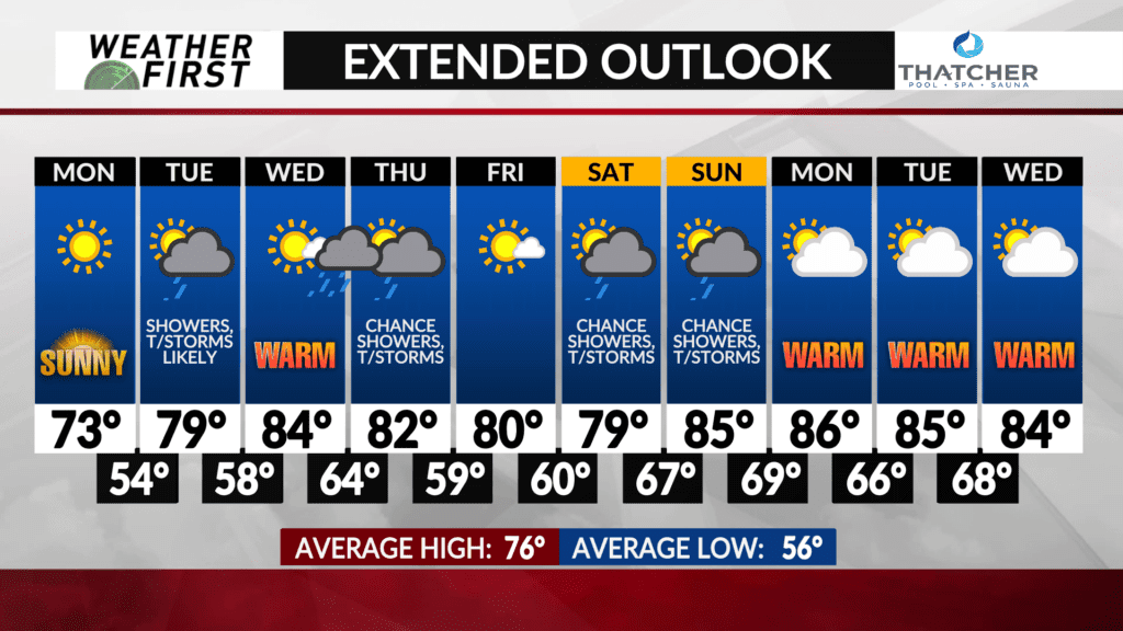
Warm, Pacific air and moisture will surge in beginning on Wednesday as high temperatures are expected to climb into the low-to-mid 80s. Moisture will increase Wednesday night ahead of a cold front with showers and thunderstorms likely.
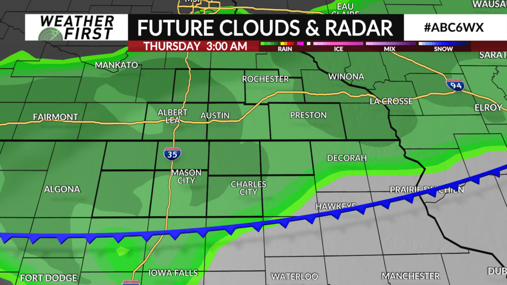
Showers and thunderstorms are likely to fire in north-central Minnesota sometime Wednesday afternoon and track southeast through the evening into the late night hours.
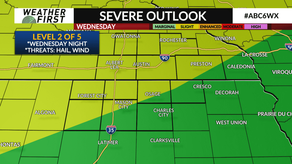
A strong-to-severe thunderstorm is possible with most of the Weather First area in a Level 2 of 5 risk with large hail and strong wind gusts as the main threat.
Showers and thunderstorms are expected to clear the area early Thursday morning. There is still some uncertainty on the exact timing and it will get narrowed down as it gets closer.
Temperatures are expected to remain warm the rest of the week with highs near or in the low-to-mid 80s.
The warmth continues into next week when high temperatures are expected to be in the low-to-mid 80s with some places seeing a high of 90° or higher not out of the question.
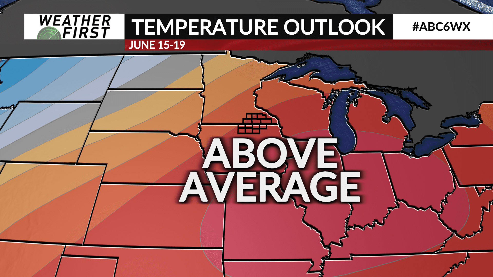
The Climate Prediction Center has a high probability of above average temperatures in the six-to-ten day period from June 15 to 19.