The quiet weather pattern continues
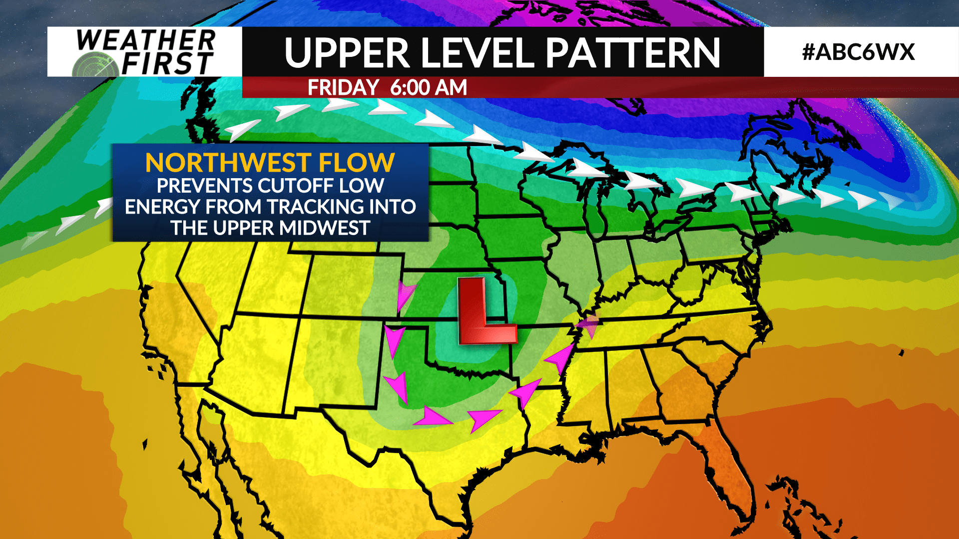
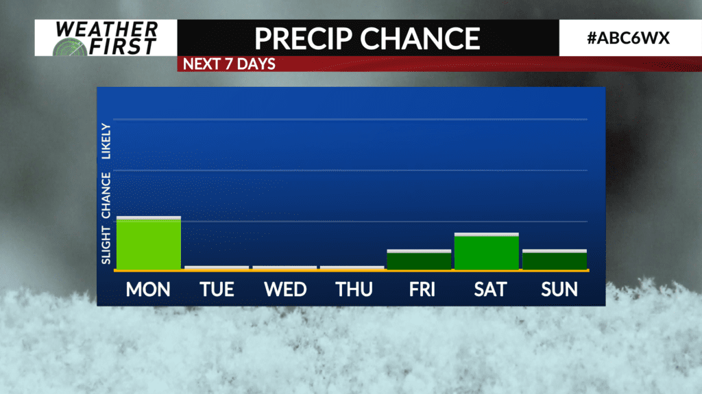
The only chance of precipitation that is truly worth mentioning in the extended forecast is a slight chance for a few flurries/rain drops Monday. Otherwise, things look very quiet this week. Why though?
Let’s take a look at the upper level pattern across the United States this week. An upper level low is currently spinning across California this evening. The polar jet extends from southwestern Canada and down over the Upper Midwest.
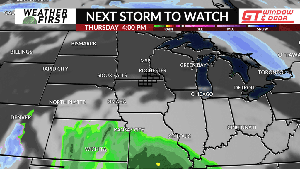
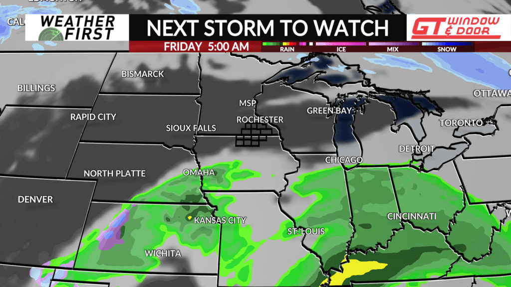
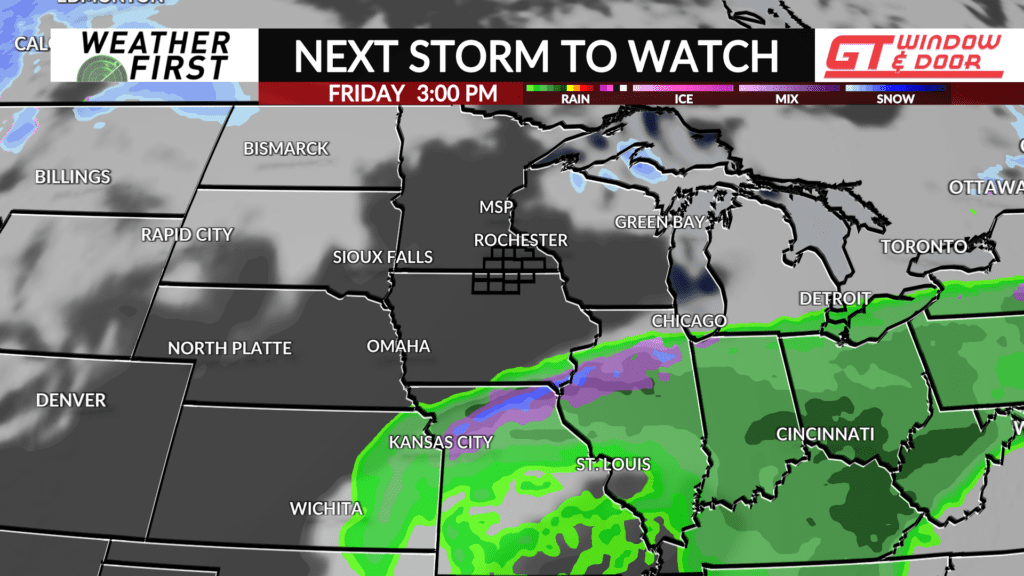
This cutoff low will meander across the Desert Southwest over the next several days, without making much eastward progress. It isn’t until later in the week that the low begins to move northeastward. However, models have trended further south with the low, and for good reason.
The upper level jet across the Upper Midwest will make it very difficult for the cutoff low to make much progress northward thanks to the orientation of the jet and position. If the jet were to be further north, the low could track further north. This is unlikely to be the case.
The result, the cutoff low moves northeast, but does not make it far enough north to bring moisture or energy across southeastern Minnesota and northern Iowa. It isn’t yet impossible that a few rain/snow showers make it into our area later this week, but odds are dwindling fast.
The Climate Prediction Center is predicting above average precipitation into the beginning of February across our area, but as noted yesterday, they have been predicting this all winter, and it has yet to come to fruition. We shall see…
