Temperature roller coaster ride ahead
The weather is going to be taking us on quite the roller coaster ride during the next several days in the temperature department!
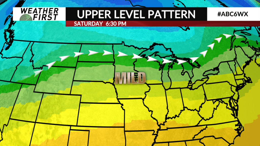
Temperatures Saturday across southeastern Minnesota and northern Iowa were well above average for early December, and much warmer than temperatures earlier this week! All of the Weather First area reached well into the 50F’s, which is over 20F above the average high for December 7th!
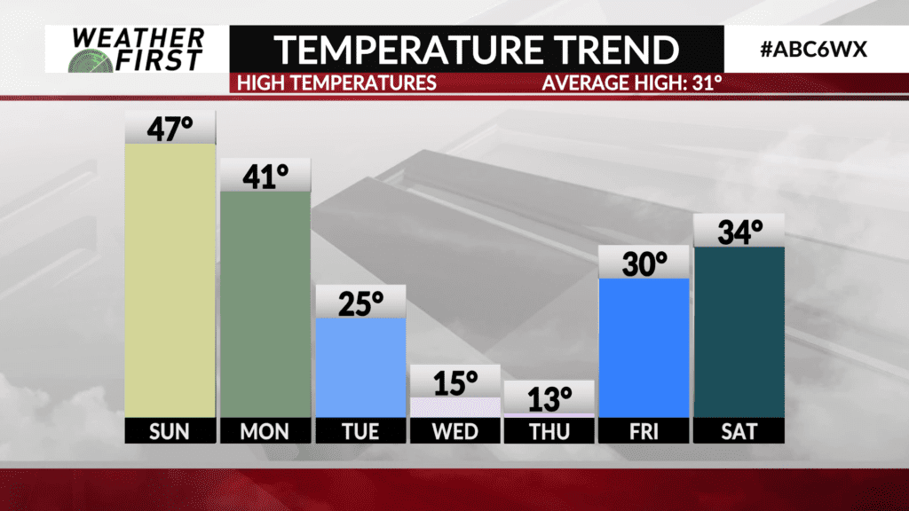
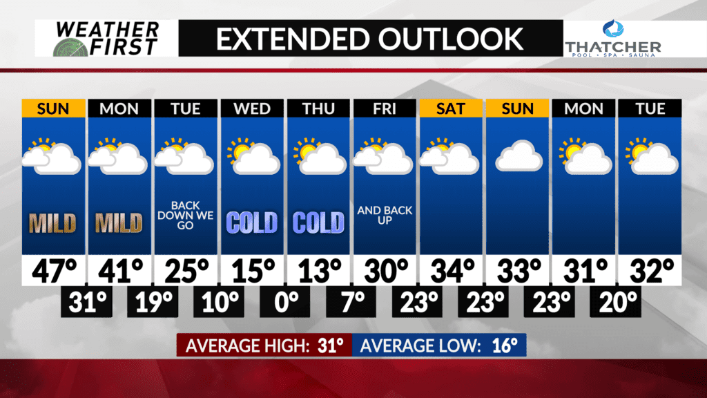
Cooler, yet still warm relative to average, temperatures hang around for Sunday, with a bit more cloud cover as another weather system approaches from the west. Highs will be in the mid to upper 40F’s Sunday across southeastern Minnesota, and in the low 50F’s across northern Iowa. A good 15F above average at least!
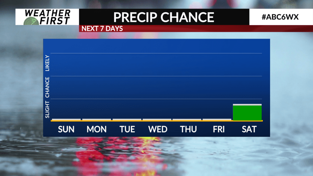
Monday will be slightly cooler as a cold front passes through the area, but highs will still reach into the low 40F’s. Cloud cover will hang around for most of the day, but precipitation remains well to our north.
Cloudy skies continue into Tuesday, with highs much cooler than Monday’s, but closer to average, in the mid 20F’s. Precipitation chances will remain north of the area.
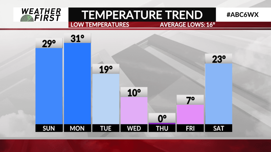
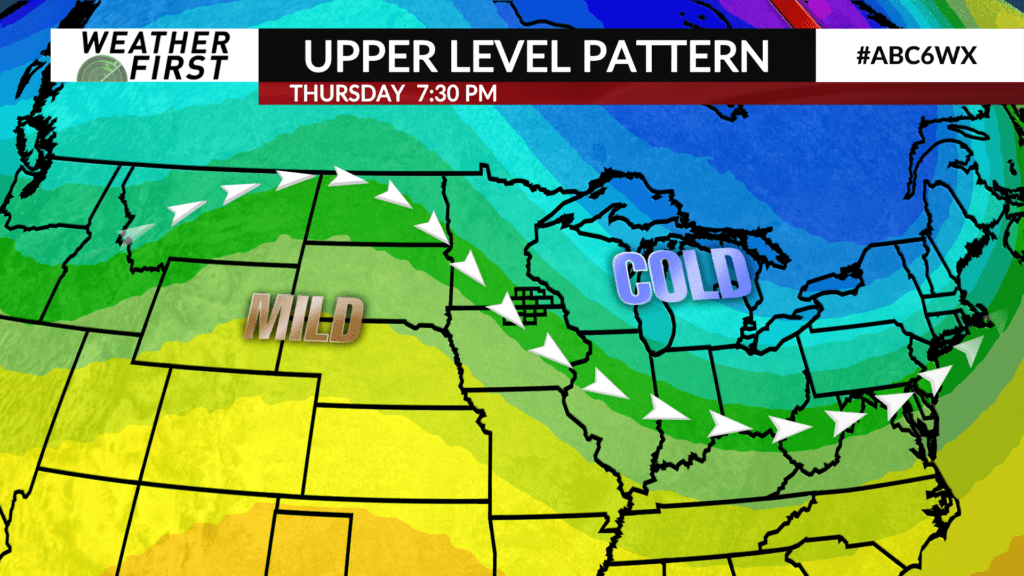
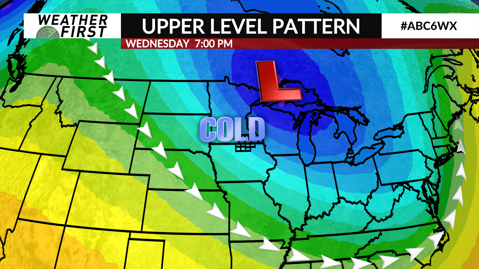
Wednesday into Thursday, the bitterly cold arctic air returns. Skies will clear out a fair bit given high pressure, but temperatures will only peak in the mid teens both days. Lows Wednesday and Thursday night will be in the single digits and/or near 0F.
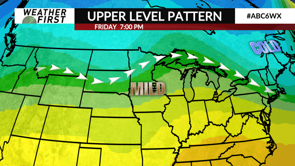
The arctic air doesn’t stick around for long, with highs in the 30F’s returning for next Friday, and the weekend. Once again, clouds increase, but precipitation chances remain limited. No major snow producers are on the horizon for now!
