Breaking down the week ahead
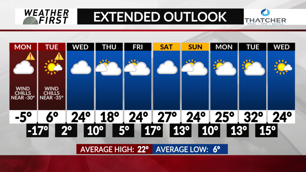
While the week will start with bitterly cold temperatures and wind chills dangerously low at times, temperatures warm a bit by the end of the week.
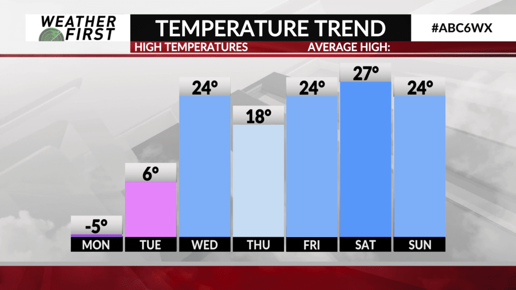
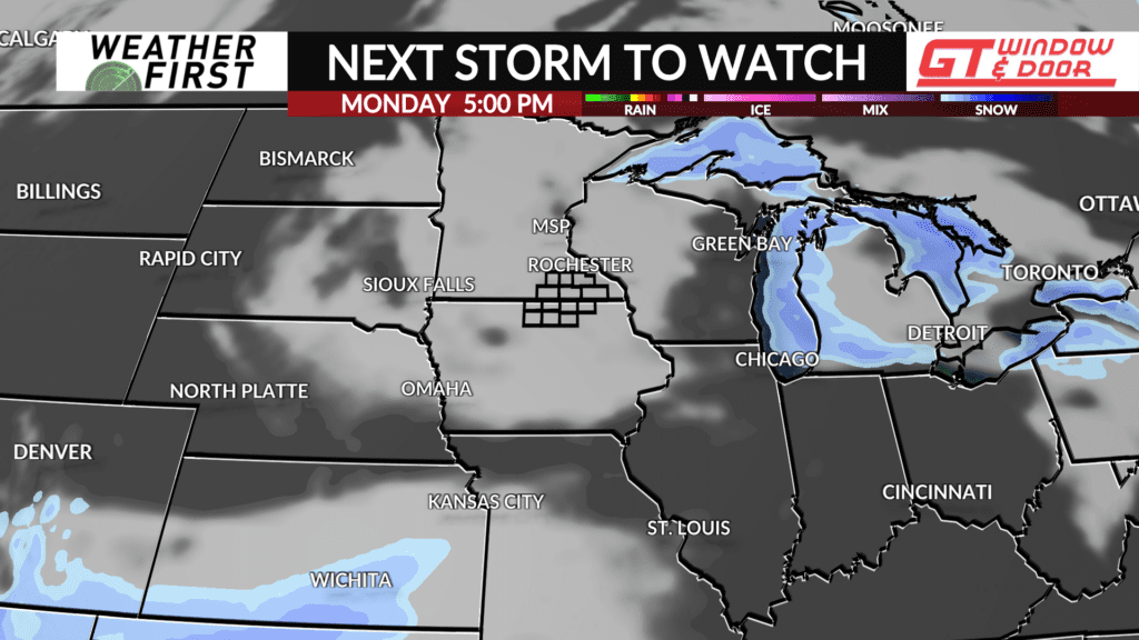
Monday will be the coldest day of the week, with highs not making it above 0F for most locations across southeastern Minnesota and northern Iowa. Wind chills will be even colder, in the -20F’s most of the day as well. There will be a fair deal of cloud cover, but no snow chances.
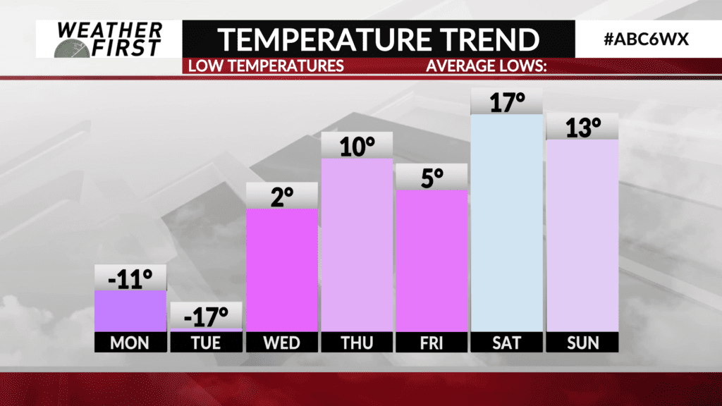
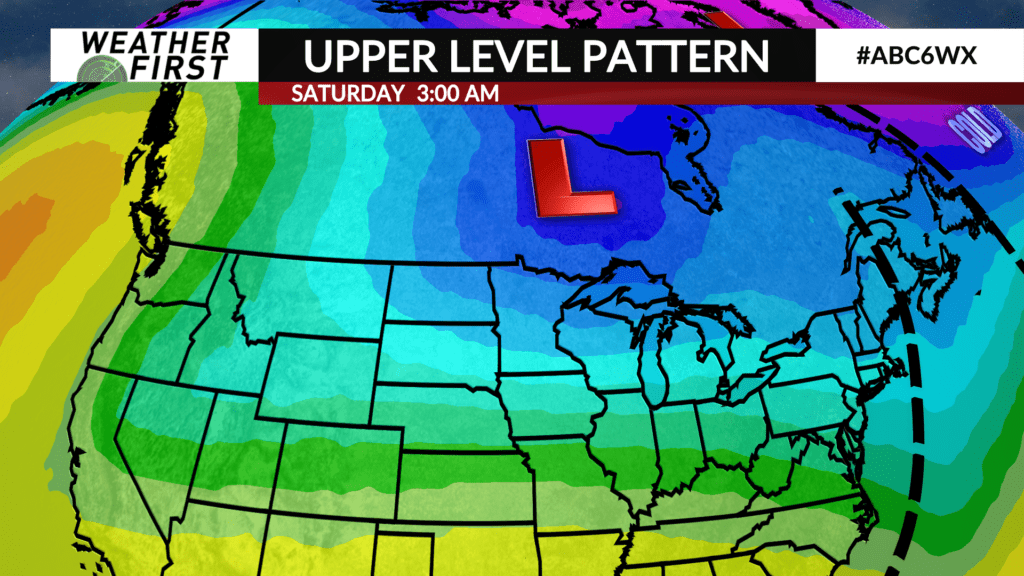
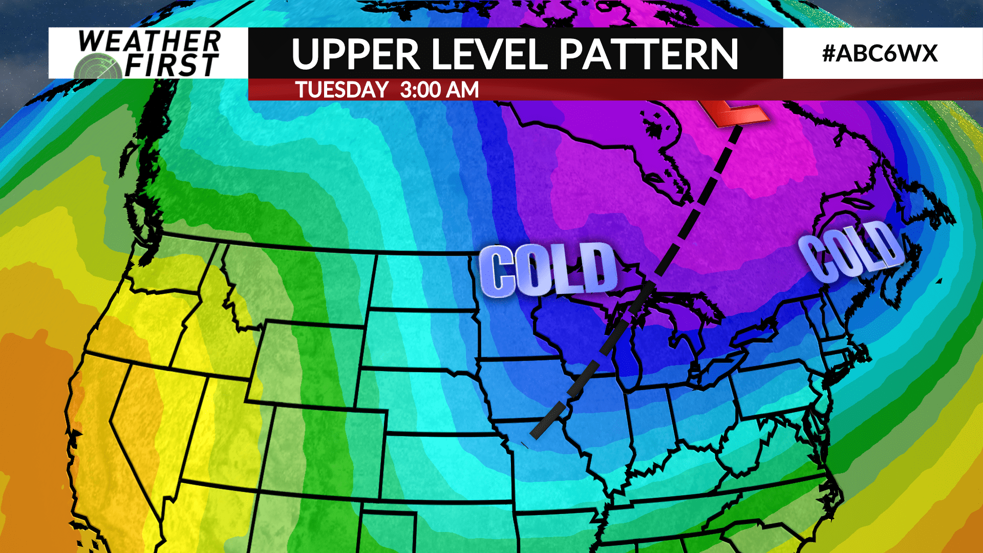
A subtle trough of low pressure passes through the area Monday into Monday night, drawing even colder air southward across Minnesota and Iowa. This will result in temperatures dropping well into the negative teens Monday night into Tuesday morning. Wind chills will be much lower, down into the -30F’s for most locations.
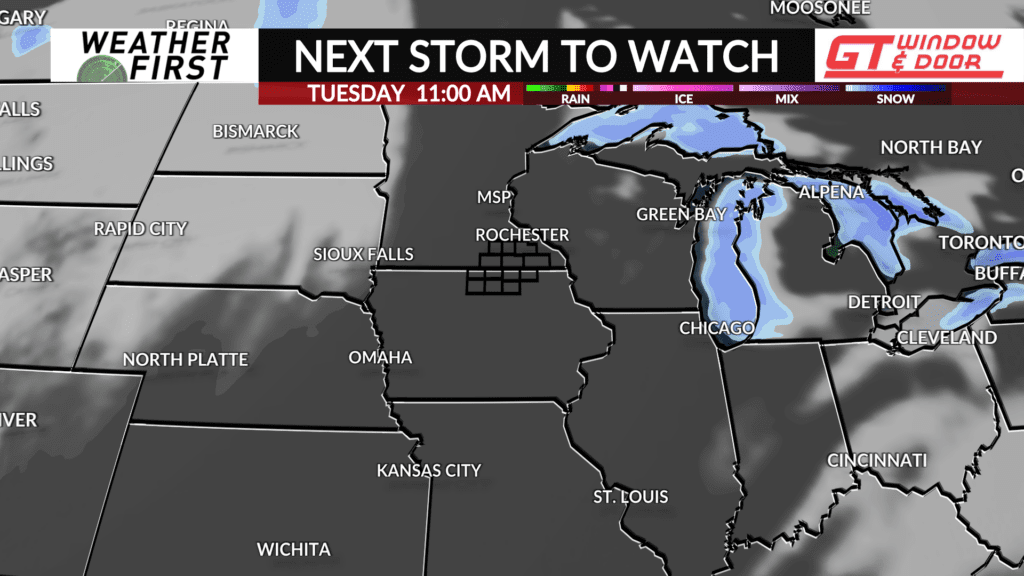
Temperatures warm up a bit Tuesday, but this isn’t saying much, given how cold it will be Tuesday morning. Highs will be in the single digits above 0F, yet wind chills remain well below 0F. At least the sun will be out!
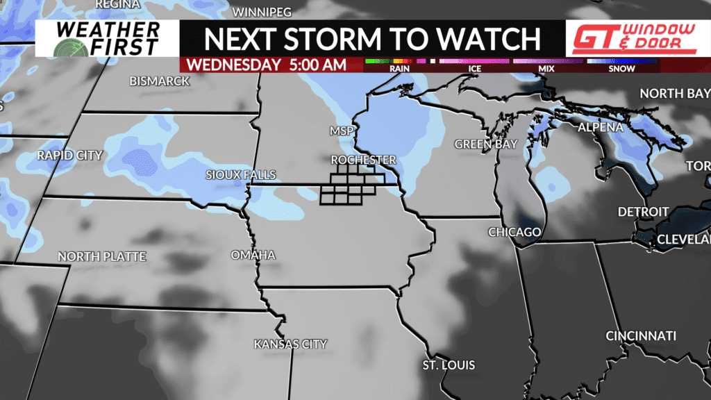
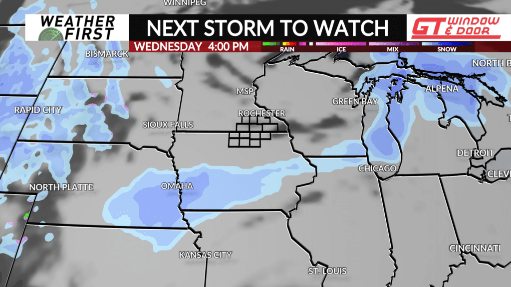
Wednesday will be up to 20F warmer than Tuesday, with a cloudy sky and highs in the mid to upper 20F’s. A weak piece of upper level energy will slide across the Upper Midwest, resulting in some lift across our area. Moisture, however, will be lacking. Thus, snow chances, if any, appear to be slim at this time. Any accumulation would only amount to a dusting.
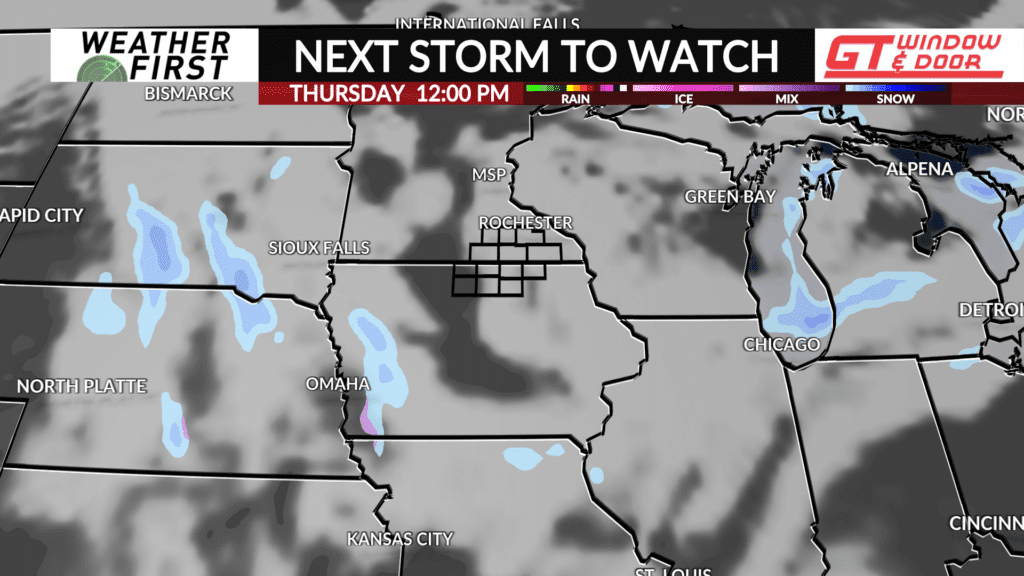
Thursday will be colder than Wednesday thanks to the passage of a weak trough, resulting in high temperatures in the teens, and lows in the single digits Thursday night into Friday morning. Warmer air arrives for the weekend, with high temperatures potentially nearing 30F next Saturday.
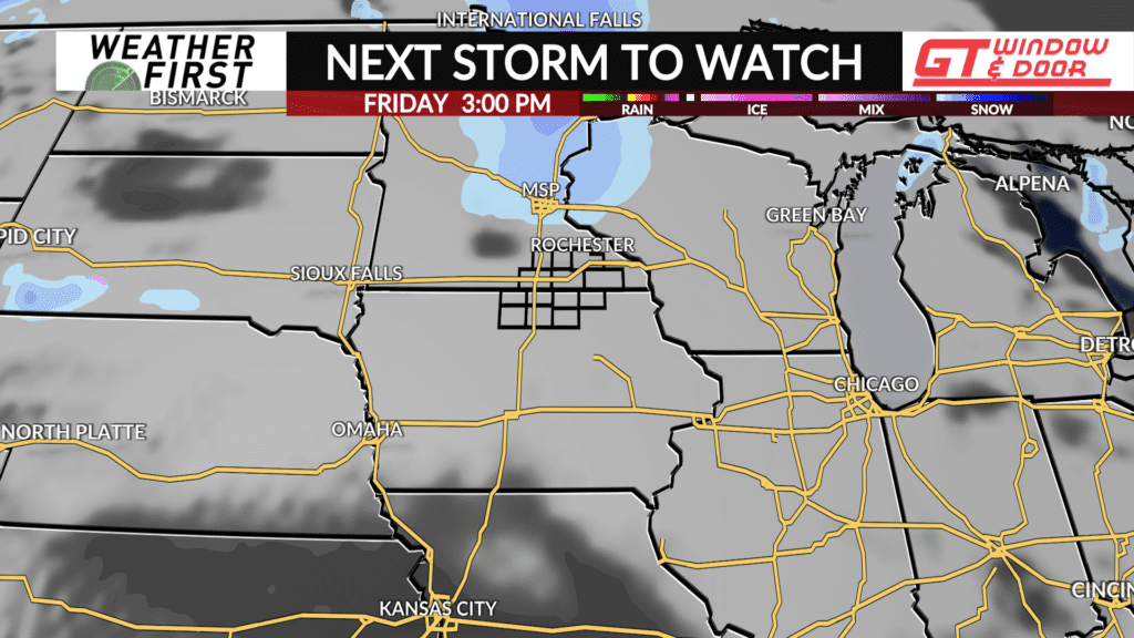
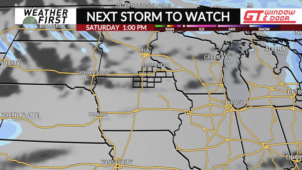
Plenty of clouds hang around through the end of the week. Another weak upper level system could track through the area Friday, but details are still in the works. Confidence is still low enough to keep the forecast dry through the entire 10 day period. Stay tuned for any updates throughout the week!
